Powhatan Point in Belmont County, Ohio — The American Midwest (Great Lakes)
Powhatan Point
Photographed by Craig Doda, April 26, 2025
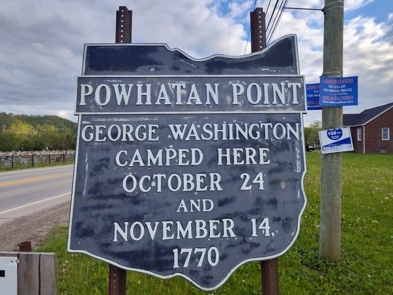
1. Powhatan Point Marker
George Washington camped here October 24 and November 14, 1770
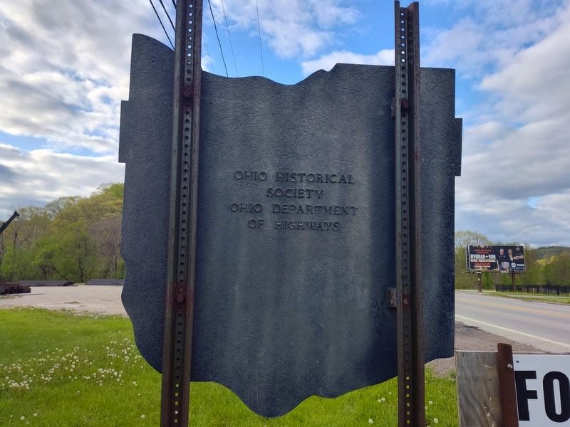
Erected by Ohio Historical Society / Ohio Department of Highways.
Topics and series. This historical marker is listed in these topic lists: Colonial Era • Government & Politics. In addition, it is included in the Former U.S. Presidents: #01 George Washington, and the Ohio Historical Society / The Ohio History Connection series lists. A significant historical date for this entry is October 24, 1770.
Location. 39° 52.349′ N, 80° 47.812′ W. Marker is in Powhatan Point, Ohio, in Belmont County. It is at the intersection of Ohio River Scenic Byway (Ohio Route 7) and Sandy Drive, on the right when traveling south on Ohio River Scenic Byway. Touch for map. Marker is at or near this postal address: 55411 Sandy Dr, Powhatan Point OH 43942, United States of America. Touch for directions.

Regionally, this marker is in Ohio’s High Valley. It is also in the American Midwest, in the Ohio River Valley, in Appalachia, and specifically in Northern Appalachia. Globally, it is in North America, the Western Hemisphere, the Western World, and the Anglosphere. Historically,
this page online
Other nearby markers. At least 8 other markers are within 2 miles of this marker, measured as the crow flies: Powhatan Point Veterans Memorial (about 400 feet away, measured in a direct line); United Mine Workers Of America L.U. 5497 Dist, No 6 (approx. 0.2 miles away); The Coal Industry at Powhatan Point / Powhatan Disaster, 1944 (approx. 0.6 miles away); a different marker also named Powhatan Point (approx. 0.9 miles away); George Washington (approx. 0.9 miles away); Veterans Memorial (approx. 0.9 miles away); The Inez Wright Bridge (approx. 0.9 miles away); Washington's Land (approx. 1.6 miles away in West Virginia). Touch for a list and map of all markers in Powhatan Point.
Photographed by Craig Doda, April 26, 2025
2. Powhatan Point Marker

Photographed by Craig Doda, April 26, 2025
3. Powhatan Point Marker
Credits. This page was last revised on May 11, 2025. It was originally submitted on May 8, 2025, by Craig Doda of Napoleon, Ohio. This page has been viewed 183 times since then and 56 times this year. Photos: 1, 2, 3. submitted on May 8, 2025, by Craig Doda of Napoleon, Ohio. • Devry Becker Jones was the editor who published this page.
