Near West Augusta in Highland County, Virginia — The American South (Mid-Atlantic)
Confederate Breastworks Interpretive Trail
Photographed by Devry Becker Jones (CC0), May 8, 2021
1. Confederate Breastworks Interpretive Trail Marker
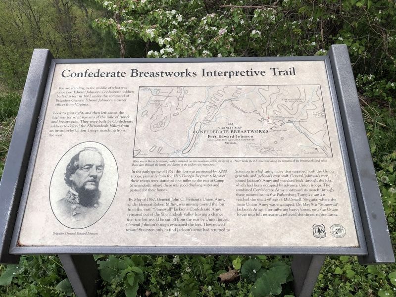
You are standing in the middle of what was once Fort Edward Johnson. Confederate soldiers built this fort in 1862 under the command of Brigadier general Edward Johnson, a career officer from Virginia.
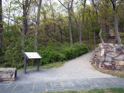
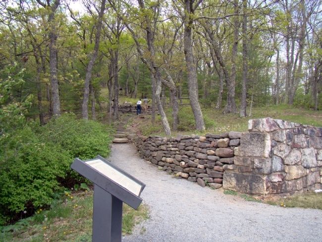
Look to your right, and then left across the highway for what remains of the mile of trench and breastworks. They were built by Confederate soldiers to defend the Shenandoah Valley from an invasion by Union Troops marching from the west.
In the early spring of 1862, this fort was garrisoned by 3,000 troops, primarily from the 12th Georgia Regiment. Most of these troops were stationed four miles to the east at Camp Shenandoah, where there was good drinking water and pasture for their horses.
By May of 1862, General John C. Fremont’s Union Army, under General Robert Milroy, was moving toward the fort from the west. “Stonewall” Jackson’s Confederate Army retreated out of the Shenandoah Valley leaving a chance that the fort would be cut off from the rear by Union forces. General Johnson’s troops evacuated the fort. They moved toward Staunton only to find Jackson’s army had returned to Staunton in a lightning move that
this page online
Erected by Forest Service, U.S. Department of Agriculture.
Topics. This historical marker is listed in these topic lists: Forts and Castles • War, US Civil. A significant historical month for this entry is May 1862.
Location. This marker has been replaced by another marker nearby. It was located near 38° 18.693′ N, 79° 23.058′ W. Marker was near West Augusta, Virginia, in Highland County. It could be reached from Route 250, on the right when traveling west. Part of the “Confederate Breastworks Trail” at Fort Edward Johnson. Touch for map. Marker was in this post office area: West Augusta VA 24485, United
Photographed by Devry Becker Jones (CC0), May 8, 2021
2. Confederate Breastworks Interpretive Trail Marker

Regionally, this marker was in the Shenandoah Valley, in the Alleghany Highlands, and specifically in the Potomac Highlands. It was also in the American South, specifically in the Upper South, in Appalachia, and specifically in Southern Appalachia. Globally, it was in North America, the Western Hemisphere, the Western World, and the Anglosphere. Historically, it found itself in what was once the territory of the Mississippian Culture, one of the original Thirteen Colonies, one of the Confederate States of America, and the Antebellum South.
Other nearby markers. At least 8 other markers are within walking distance of this location: Confederate Breastworks Trail (here, next to this marker); “The Shenandoah Mountain Pass is grand indeed…” (a few steps from this marker); Welcome to Fort Johnson (a few steps from this marker); Highland County / Augusta County (a few steps from this marker); Fort Edward Johnson (within shouting distance of this marker); a different marker also named Fort Edward Johnson (within shouting distance of this marker); “It was cold business…” (within shouting
Photographed by J. J. Prats, May 2, 2010
3. Confederate Breastworks Interpretive Trail Marker
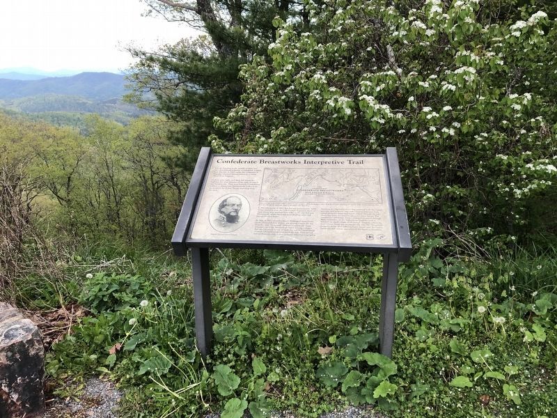
More about this marker. On the lower left is a portrait of Brigadier general Edward Johnson. In the upper center is a map depicting the works and nearby locations as it existed in 1862. It is captioned, What was it like to be a lonely soldier stationed on this mountain fort in the spring of 1862? Walk the 0.5 mile trail along the remains of the breastworks and relive those days through the letters and diaries of the soldiers who were here.
Related marker. Click here for another marker that is related to this marker. This marker has been replaced with the linked marker with differences in title, subtitles, inscriptions, captions and erecting organizations.
Photographed by J. J. Prats, May 2, 2010
4. Confederate Breastworks Interpretive Trail Head
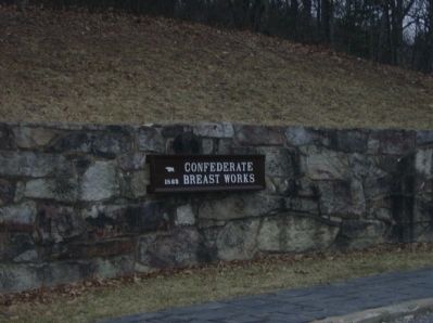
Photographed by Robert H. Moore, II, February 27, 2009
5. Confederate Breastworks Parking Lot sign
Credits. This page was last revised on August 8, 2026. It was originally submitted on March 6, 2009, by Robert H. Moore, II of Winchester, Virginia. This page has been viewed 9,351 times since then and 164 times this year. Last updated on May 10, 2025, by Thomas Corwin of Fairfax, Virginia. Photos: 1, 2. submitted on May 8, 2021, by Devry Becker Jones of Washington, District of Columbia. 3, 4. submitted on May 5, 2010, by J. J. Prats of Powell, Ohio. 5. submitted on March 6, 2009, by Robert H. Moore, II of Winchester, Virginia. • Bernard Fisher was the editor who published this page.
Editor’s want-list for this marker. Check to see if it has been replaced, or mark it permanently removed. • Can you help?
