
Monroe in Monroe County, Michigan — The American Midwest (Great Lakes)
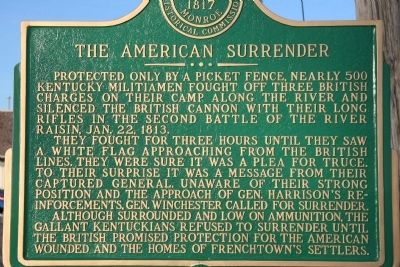
The American Surrender
Photographed by Dale K. Benington, February 6, 2010
1. The American Surrender Marker
They fought for three hours until they saw a white flag approaching from the British lines. They were sure it was a plea for truce. To their surprise it was a message from their captured General. Unaware of their strong position and the approach of Gen. Harrison's reinforcements, Gen. Winchester called for surrender.
Although surrounded and low on ammunition, the gallant Kentuckians refused to surrender until the British promised protection for the American wounded and the homes of Frenchtown's settlers.
Erected by Monroe County Historical Commission.
Topics. This historical marker is listed in these topic lists: Military • War of 1812. A significant historical date for this entry is January 22, 1813.
Location. 41° 54.989′ N, 83° 22.67′ W. Marker is in Monroe, Michigan, in Monroe County. It is at the intersection of North Dixie Highway (State Highway 50) and East Noble Avenue, on the
this page online

Regionally, this marker is in Southeast Michigan and in Greater Detroit. It is also in the American Midwest. Globally, it is in North America, on the Great Lakes, in the Western Hemisphere, in the Western World, and in the Anglosphere. Historically, it finds itself in what was once the Northwest Territory.
Other nearby markers. At least 8 other markers are within walking distance of this marker: Site of Battles of Jan. 18 - 22 (approx. ¼ mile away); Private Claim 236 Lot of Hubert Lacroix (approx. ¼ mile away); Private Claim 214 of G. Godfroy & J.B. Beaugrand (approx. ¼ mile away); Private Claim 236, Lot of George McDougal (approx. ¼ mile away); River Raisin Legacy Project (approx. ¼ mile away); a different marker also named River Raisin Legacy Project (approx. ¼ mile away); First District Court (approx. ¼ mile away); Private Claim 236 Lot of Jean (John) Baptiste Jerome (approx. ¼ mile away). Touch for a list and map of all
Photographed by Dale K. Benington, February 6, 2010
2. The American Surrender Marker
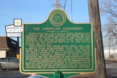
Another view of the historical marker.
Photographed by Dale K. Benington, February 6, 2010
3. The American Surrender Marker
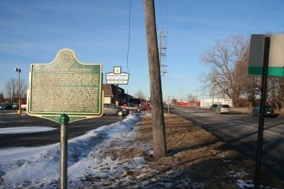
View looking north, up the North Dixie Highway, of the historical marker in it's location at the northwest corner of East Noble Avenue and North Dixie Highway, in front of the Monroe Lodge.
Photographed by Joel Seewald, June 4, 2022
4. The American Surrender Marker
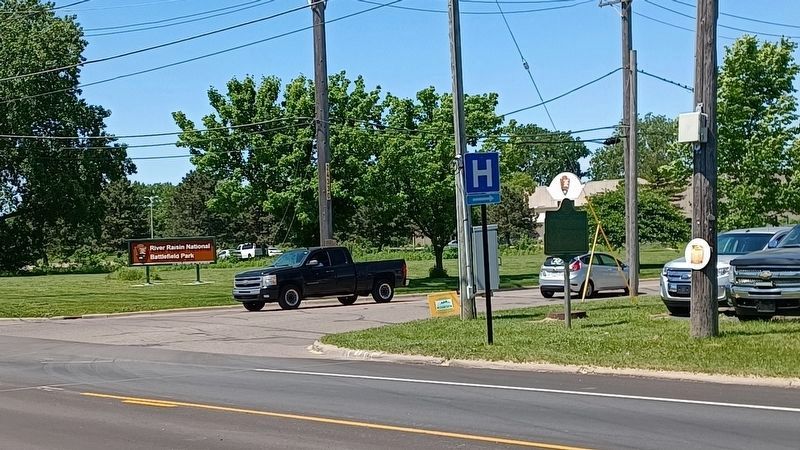
View looking southwest with the River Raisin National Battlefield Park across the street.
Credits. This page was last revised on June 28, 2022. It was originally submitted on February 7, 2010, by Dale K. Benington of Toledo, Ohio. This page has been viewed 1,421 times since then and 42 times this year. Photos: 1, 2, 3. submitted on February 7, 2010, by Dale K. Benington of Toledo, Ohio. 4. submitted on June 28, 2022, by Joel Seewald of Madison Heights, Michigan.
