Trenton in Quinte West in Hastings County, Ontario — Central Canada (North America)
Mount Pelion
Photographed by William Fischer, Jr., May 11, 2025
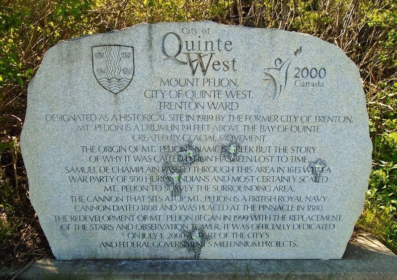
1. Mount Pelion Marker
Designated as a historical site in 1989 by the former City of Trenton, Mt. Pelion is a drumlin 191 feet above the Bay of Quinte created by glacial movement.
The origin of Mt. Pelion's name is Greek but the story of why it was called Pelion has been lost to time.
Samuel de Champlain passed through this area in 1615 with a war party of 500 Huron Indians and most certainly scaled Mt. Pelion to survey the surrounding area.
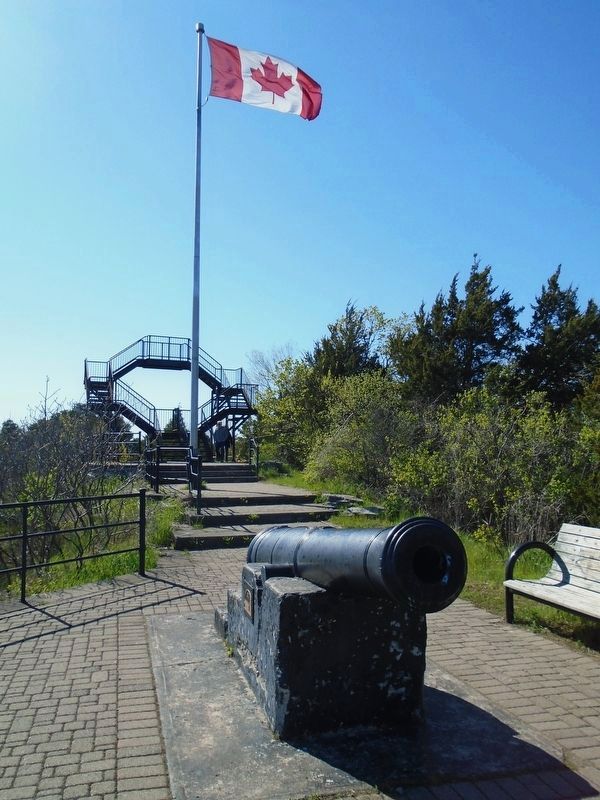
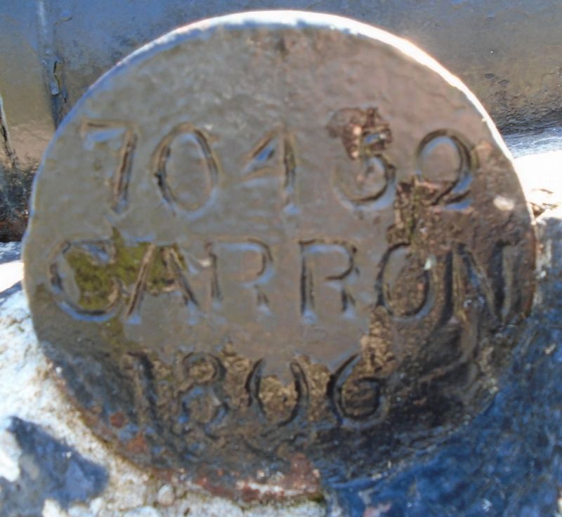
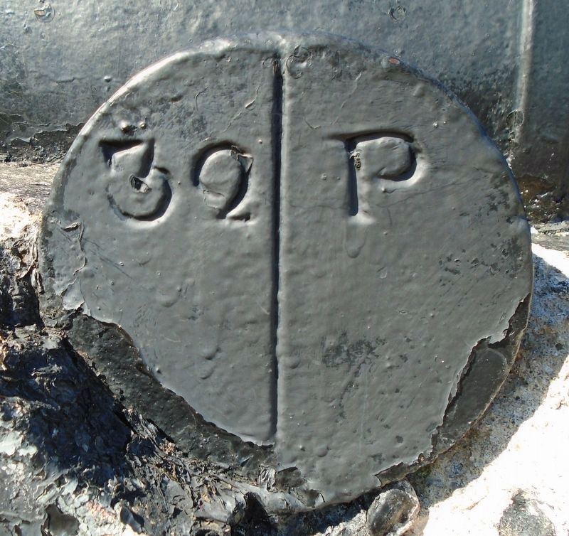
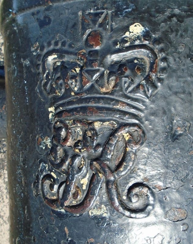
The cannon that sits atop Mt. Pelion is a British Royal Navy cannon dated 1808 and was placed at the pinnacle in 1880.
The redevelopment of Mt. Pelion began in 1999 with the replacement of the stairs and observation tower. It was officially dedicated on July 1, 2000 as part of the city's and federal government's Millenium projects.
Erected 2000 by City of Quinte West, Trenton Ward.
Topics. This historical marker is listed in this topic list: Natural Features. A significant historical year for this entry is 1989.
Location. 44° 6.136′ N, 77° 35.062′ W. Marker is in Quinte West, Ontario, in Hastings County. It is in Trenton. It is on Dufferin Avenue, on the left when traveling east. Marker is at the
this page online

Regionally, this marker is in Eastern Ontario and specifically in Southeastern Ontario. It is also in Central Canada. Globally, it is in North America, on the Great Lakes, in the Western Hemisphere, in the Western World, and in the Anglosphere. Historically, it finds itself in what was once a British colony, the Viceroyalty of New France, the Haudenosaunee (Iroquois) Confederacy, and Rupert’s Land.
Other nearby markers. At least 8 other markers are within walking distance of this marker: D.J. MacDonald Bridge (approx. 0.4 kilometers away); The Trenton Greenbelt Restoration Project (approx. half a kilometer away); Granting the Freedom of the City of Quinte West (approx. 0.7 kilometers away); Post Office Building Clock Tower (approx. 0.7 kilometers away); Granting the Freedom of the City of Trenton (approx. 0.7 kilometers away); a different marker also named Granting the Freedom of the City of Quinte West (approx. 0.7 kilometers away); a different

Photographed by William Fischer, Jr., May 11, 2025
2. Mount Pelion Marker
Photographed by William Fischer, Jr., May 11, 2025
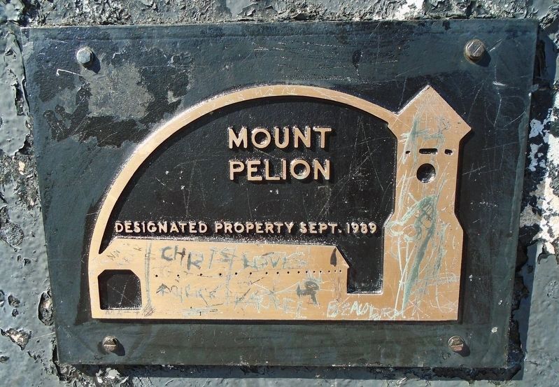
3. Mount Pelion Designated Property Marker
Photographed by William Fischer, Jr., May 11, 2025
4. Mount Pelion Cannon and Observation Tower
Photographed by William Fischer, Jr., May 11, 2025
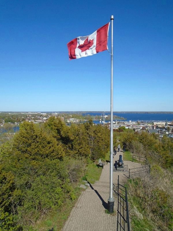
5. View of Town from Mount Pelion
Photographed by William Fischer, Jr., May 11, 2025
6. Mount Pelion Cannon Trunnion Mark
Photographed by William Fischer, Jr., May 11, 2025
7. Mount Pelion Cannon Trunnion Mark
Photographed by William Fischer, Jr., May 11, 2025
8. Mount Pelion Cannon Royal Crest
Credits. This page was last revised on May 13, 2025. It was originally submitted on May 12, 2025, by William Fischer, Jr. of Reynoldsburg, Ohio. This page has been viewed 201 times since then and 74 times this year. Photos: 1, 2, 3, 4, 5, 6, 7, 8. submitted on May 13, 2025, by William Fischer, Jr. of Reynoldsburg, Ohio.
