Near Port Lambton in Lambton County, Ontario — Central Canada (North America)
Passenger Ships on the Lower St. Clair River
Photographed by Tim Boyd, May 11, 2025
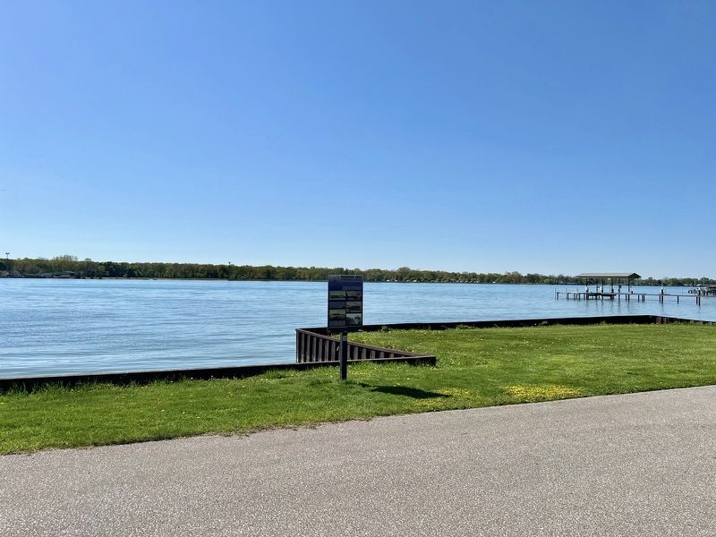
1. Passenger Ships on the Lower St. Clair River Marker
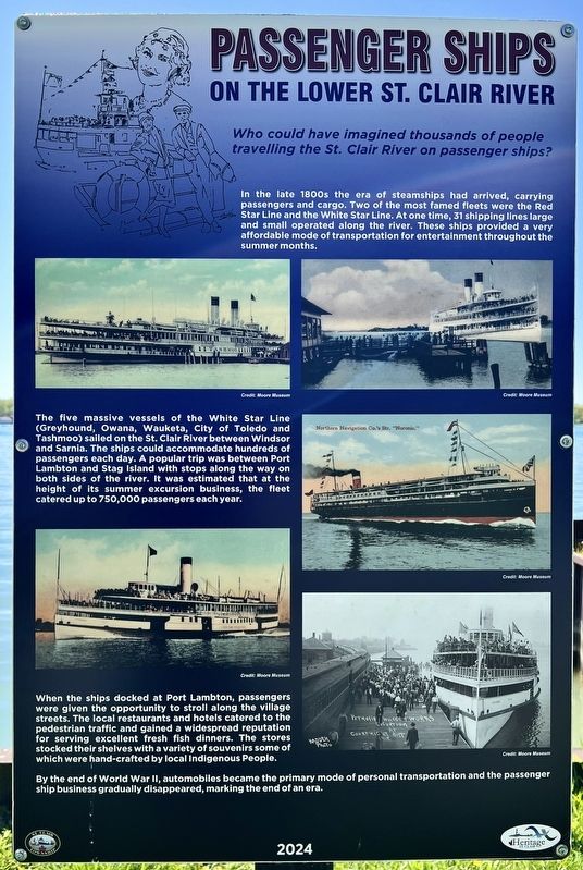
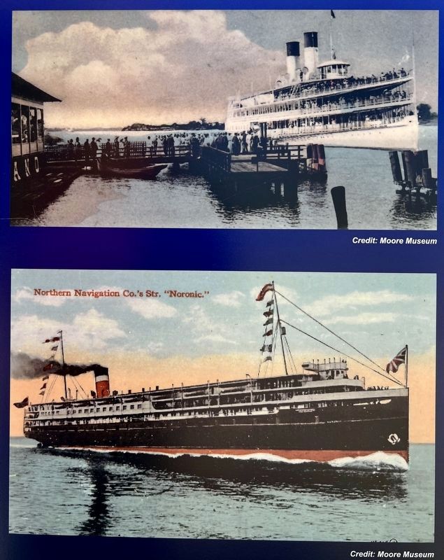
The five massive vessels of the White Star Line (Greyhound, Owana, Wauketa, City of Toledo and Tashmoo) sailed on the St. Clair River between Windsor and Sarnia. The ships could accommodate hundreds of passengers each day. A popular trip was between Port Lambton and Stag Island with stops along the way on both sides of the river. It was estimated that at the height of its summer excursion business, the fleet catered up to 750,000 passengers each year. When the ships docked at Port Lambton, passengers were given the opportunity to stroll along the village streets. The local restaurants and hotels catered to the pedestrian traffic and gained a widespread reputation for serving excellent fresh fish dinners. The stores stocked their shelves with a variety of souvenirs some of which were hand-crafted by local Indigenous People. By the end of World War II, automobiles became the primary mode of personal transportation and the passenger ship business gradually disappeared, marking the end of an era.
Erected 2024 by Heritage St. Clair.
Topics. This historical marker is listed in these topic lists: Entertainment • Waterways & Vessels.
Location. 42° 38.778′ N, 82° 30.27′ W. Marker is near Port Lambton, Ontario, in Lambton County. It is on St. Clair Parkway 0.4 kilometers north of West Pointe Line, on the left when traveling
this page online

Regionally, this marker is in the Southwest Ontario Area and in Southwestern Ontario. It is also in Central Canada. Globally, it is in North America, on the Great Lakes, in the Western Hemisphere, in the Western World, and in the Anglosphere. Historically, it finds itself in what was once a British colony, the Viceroyalty of New France, the Haudenosaunee (Iroquois) Confederacy, and Rupert’s Land.
Other nearby markers. At least 8 other markers are within 5 kilometers of this marker, measured as the crow flies: Port Lambton Hotels (within shouting distance of this marker); Dr. Maud Menten, M.D., Ph.D. 1879-1960 (within shouting distance of this marker); Rum Runners (about 120 meters away, measured in a direct line); Baby Point (about 180 meters away); St. Clair River Habitat Restoration (approx. 1.5 kilometers away in the U.S.); a different marker also named St. Clair River Habitat Restoration
Photographed by Tim Boyd, May 11, 2025
2. Passenger Ships on the Lower St. Clair River Marker

Photographed by Tim Boyd, May 11, 2025
3. Passenger Ships on the Lower St. Clair River marker photo detail
White Star Line “Tashoo”
Photographed by Tim Boyd, May 11, 2025
4. Passenger Ships on the Lower St. Clair River marker photos detail
“Tashoo” docking at Port Lambton, and the SS Noronic
Photographed by Tim Boyd, May 11, 2025
5. Passenger Ships on the Lower St. Clair River marker photo detail
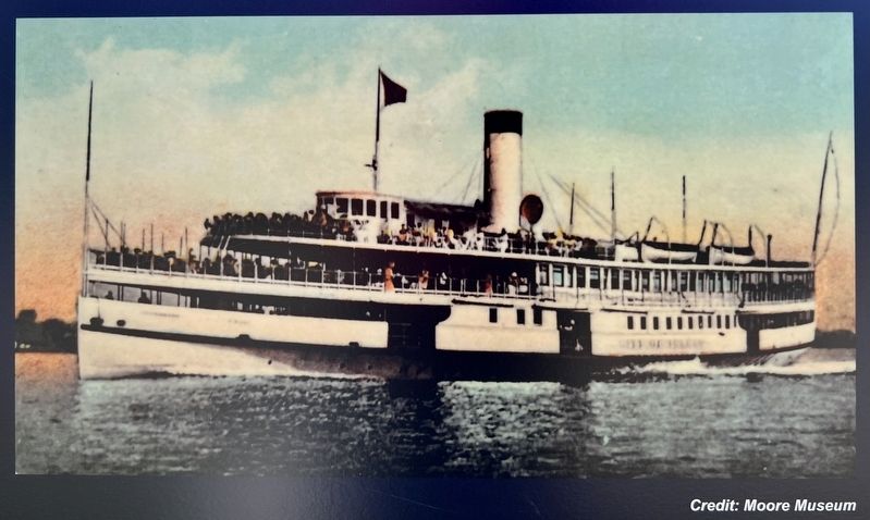
”City of Toledo”
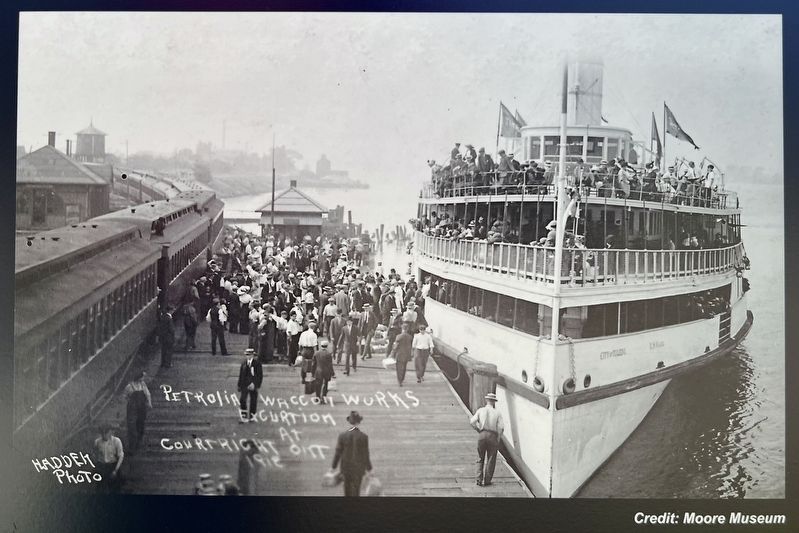
Photographed by Tim Boyd, May 11, 2035
6. Passenger Ships on the Lower St. Clair River marker photo detail
”City of Toledo” in 1912
Credits. This page was last revised on May 28, 2025. It was originally submitted on May 14, 2025, by Tim Boyd of Hamilton, Ontario. This page has been viewed 96 times since then and 26 times this year. Photos: 1, 2, 3, 4, 5, 6. submitted on May 14, 2025, by Tim Boyd of Hamilton, Ontario. • Bill Pfingsten was the editor who published this page.
