Near Port Lambton in Lambton County, Ontario — Central Canada (North America)
Port Lambton Hotels
Photographed by Tim Boyd, May 11, 2025
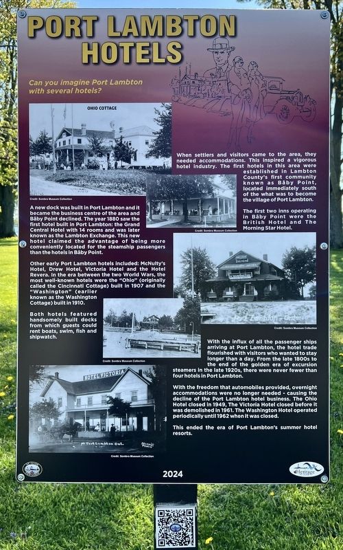
1. Port Lambton Hotels Marker
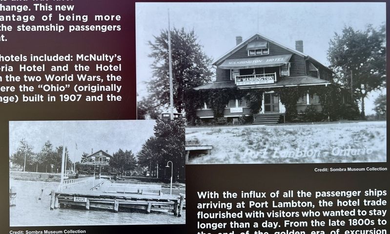
A new dock was built in Port Lambton and it became the business centre of the area and Bâby Point declined. The year 1880 saw the first hotel built in Port Lambton: the Grand Central Hotel with 14 rooms and was later known as the Lambton Exchange. This new hotel claimed the advantage of being more conveniently located for the steamship passengers than the hotels in Bâby Point. Other early Port Lambton hotels included: McNulty's Hotel, Drew Hotel, Victoria Hotel and the Hotel Revera. In the era between the two World Wars, the most well-known hotels were the "Ohio" (originally called the Cincinnati Cottage) built in 1907 and the "Washington" (earlier known as the Washington Cottage) built in 1910.
Both hotels featured handsomely built docks from which guests could rent boats, swim, fish and shipwatch. With the influx of all the passenger ships arriving at Port Lambton, the hotel trade flourished with visitors who wanted to stay longer than a day. From the late 1800s to the end of the golden era of excursion steamers in the late 1920s, there were never fewer than four hotels in Port Lambton. With the freedom that automobiles provided, overnight accommodations were no longer needed - causing the decline of the Port Lambton hotel business. The Ohio Hotel closed in 1949, The Victoria Hotel closed before it was demolished in 1961. The Washington Hotel operated periodically
this page online
Erected 2024 by Heritage St. Clair.
Topics. This historical marker is listed in these topic lists: Entertainment • Waterways & Vessels. A significant historical year for this entry is 1880.
Location. 42° 38.79′ N, 82° 30.241′ W. Marker is near Port Lambton, Ontario, in Lambton County. It is at the intersection of St. Clair Parkway and west Pointe line, on the left when traveling north on St. Clair Parkway. The marker is in Brander Park, near its northern end, approx. 200 metres from the parking lot. Touch for map. Marker is at or near this postal address: 4542 County Rd 33, Port Lambton ON N0P 2B0, Canada. Touch for directions.

Regionally, this marker is in the Southwest Ontario Area and in Southwestern Ontario. It is also in Central Canada. Globally, it is in North America, on the Great Lakes, in the Western Hemisphere, in the Western World, and in the Anglosphere. Historically, it finds itself in what was once a British colony, the Viceroyalty of New France, the Haudenosaunee (Iroquois) Confederacy, and Rupert’s
Photographed by Tim Boyd, May 11, 2025
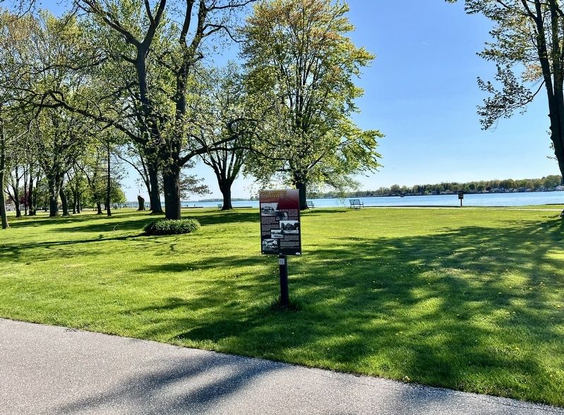
2. Port Lambton Hotels Marker
Other nearby markers. At least 8 other markers are within 5 kilometers of this marker, measured as the crow flies: Passenger Ships on the Lower St. Clair River (within shouting distance of this marker); Dr. Maud Menten, M.D., Ph.D. 1879-1960 (about 90 meters away, measured in a direct line); Rum Runners (about 150 meters away); Baby Point (about 210 meters away); St. Clair River Habitat Restoration (approx. 1.5 kilometers away in the U.S.); a different marker also named St. Clair River Habitat Restoration (approx. 2 kilometers away in the U.S.); Algonac Civil War / Vietnam Memorial (approx. 3.6 kilometers away in the U.S.); Clay Township Library (approx. 3.7 kilometers away in the U.S.). Touch for a list and map of all markers in Port Lambton.

Photographed by Tim Boyd, May 11, 2025
3. Port Lambton Hotels marker photos detail
The Ohio Cottage hotel in Port Lambton
Photographed by Tim Boyd, May 11, 2025
4. Port Lambton Hotels marker photos detail
The Washington Hotel in Port Lambton

Photographed by Tim Boyd, May 11, 2025
5. Port Lambton Hotels marker photo detail
The Victoria Hotel in Port Lambton
Credits. This page was last revised on May 28, 2025. It was originally submitted on May 14, 2025, by Tim Boyd of Hamilton, Ontario. This page has been viewed 170 times since then and 44 times this year. Photos: 1, 2, 3, 4, 5. submitted on May 14, 2025, by Tim Boyd of Hamilton, Ontario. • Bill Pfingsten was the editor who published this page.
