Sombra in Lambton County, Ontario — Central Canada (North America)
The Sombra Raid, 1838.
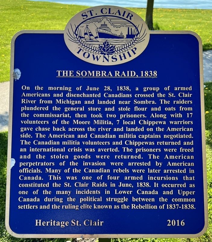
Photographed by Tim Boyd, May 11, 2025
1. The Sombra Raid, 1838. Marker
Erected 2016 by Heritage St. Clair.
Topics. This historical marker is listed
this page online
Location. 42° 42.887′ N, 82° 28.703′ W. Marker is in Sombra, Ontario, in Lambton County. It is at the intersection of Saint Clair Parkway and Forsyth Street, on the left when traveling north on Saint Clair Parkway. The marker is in Sombra Park. Touch for map. Marker is at or near this postal address: 3440 St Clair Parkway, Sombra ON N0P 2H0, Canada. Touch for directions.

Regionally, this marker is in the Southwest Ontario Area and in Southwestern Ontario. It is also in Central Canada. Globally, it is in North America, on the Great Lakes, in the Western Hemisphere, in the Western World, and in the Anglosphere. Historically, it finds itself in what was once a British colony, the Viceroyalty of New France, the Haudenosaunee (Iroquois) Confederacy, and Rupert’s Land.
Other nearby markers. At least 8 other markers are within walking distance of this marker: The Northerner (approx. 1.1 kilometers away in the U.S.); The Carrier (approx. 1.1 kilometers away in the U.S.); The R.G. Coburn (approx. 1.1 kilometers away in the U.S.); The Newaygo
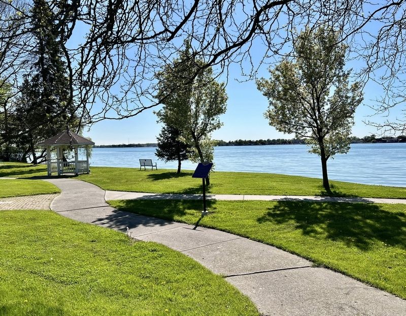
Photographed by Tim Boyd, May 11, 2025
2. The Sombra Raid, 1838 Marker
Also see . . . Patriot Chronicles: the St. Clair Raids (Windsor Star).
With William Lyon Mackenzie’s initial rebellion put down in December 1837, many rebels fled to adjoining border-states, including Michigan. There American sympathizers augmented numbers and banded together to renew efforts to “liberate” Upper Canada from British rule and what they regarded as “tyranny.” Early in 1838, attacks at Bois Blanc Island, Amherstburg and Fighting Island and the invasion and Battle of Pelee Island by rebel forces, heightened concern about more unrest in the Western District of Upper Canada. Editor Grant pointed out that for some time past there had been a suspicion that the Patriots “ … were hatching mischief in Michigan.”(Submitted on May 14, 2025, by Tim Boyd of Hamilton, Ontario.)
Credits. This page was last revised on May 15, 2025. It was originally submitted on May 14, 2025, by Tim Boyd of Hamilton, Ontario. This page has been viewed 106 times since then and 23 times this year. Photos: 1, 2. submitted on May 14, 2025, by Tim Boyd of Hamilton, Ontario. • Andrew Ruppenstein was the editor who published this page.
