Springdale in Washington County, Utah — The American Mountains (Southwest)
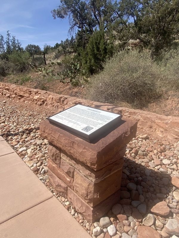
Historic Irrigation Ditch

Photographed by James Hulse, April 7, 2025
1. Historic Irrigation Ditch Marker
The Southern Paiute people utilized water from the Virgin River. They are believed to be the first people to dig ditches for irrigation in the area. In 1862, Brigham Young called 33 families to colonize this beautiful but formidable place. Near small oases at canyon streams and along the river, intrepid pioneers began to carve out a cluster of villages surrounded by swaths of isolated land. During early settlement and development eras, earthen water irrigation and control systems were built to nurture crops which included sorghum, maize, and fruit orchards, as well as to protect their efforts from the flood-prone river. The red sandstone ruddle and rough mortar of this particular irrigation system suggests this was built between 1898 and 1918.
Grafton, Adventure, and Shunesburg, would not survive the area's unique set of conditions and challenges; but the communities of Springdale and Rockville remain extant today in no small part due to the beauty and draw of what was to become Zion National Park. As Springdale slowly evolved from an agricultural village to a scenic destination, early pioneer canals and rough mortar
this page online
Additional information about this irrigation ditch and it's history, along with photographs, can be found on the Town website accessed by scanning this QR Code.
Topics. This historical marker is listed in these topic lists: Bridges & Viaducts • Indigenous Peoples and Communities. A significant historical year for this entry is 1862.
Location. 37° 11.557′ N, 112° 59.62′ W. Marker is in Springdale, Utah, in Washington County. It is on Zion Park Boulevard south of Lion Blvd, on the left when traveling north. The marker is located along the street on the sidewalk. Touch for map. Marker is at or near this postal address: 563 Zion Park Blvd, Springdale UT 84767, United States of America. Touch for directions.

Regionally, this marker is in Utah’s Color Country. It is also in the American Southwest, in the Mountain West, and on the Colorado Plateau. Globally, it is in North America, the Rocky Mountains, the Western Hemisphere, the Western World, and the Anglosphere.
Photographed by James Hulse, April 7, 2025
2. The Historic Irrigation Ditch and Marker
Other nearby markers. At least 8 other markers are within 3 miles of this marker, measured as the crow flies: Discovery of Zion Canyon (approx. 0.4 miles away); Birth of a Park (approx. 0.6 miles away); Promised Land (approx. 0.6 miles away); Westward Expansion (approx. 0.6 miles away); Original Inhabitants / Living Traditions (approx. 0.6 miles away); Stephen Tyng Mather (approx. 1.4 miles away); Zion Mt. Carmel Tunnel and Highway, Utah (approx. 2.1 miles away); Impassable Barrier (approx. 2½ miles away). Touch for a list and map of all markers in Springdale.
Also see . . . Historic Irrigation Ditch. Springdale Town (Submitted on May 16, 2025, by James Hulse of Medina, Texas.)
Photographed by James Hulse, April 7, 2025
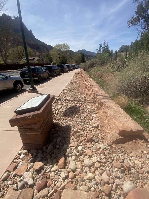
3. The view down the Irrigation Ditch
Credits. This page was last revised on August 14, 2025. It was originally submitted on May 16, 2025, by James Hulse of Medina, Texas. This page has been viewed 178 times since then and 29 times this year. Photos: 1, 2, 3. submitted on May 16, 2025, by James Hulse of Medina, Texas.
