Christchurch in Bournemouth Christchurch and Poole, England, United Kingdom — Northwestern Europe (the British Isles)
The Old Court House
| — | Millennium Trail | — |
Photographed by Ray Gurganus, April 2, 2025
1. The Old Court House Marker
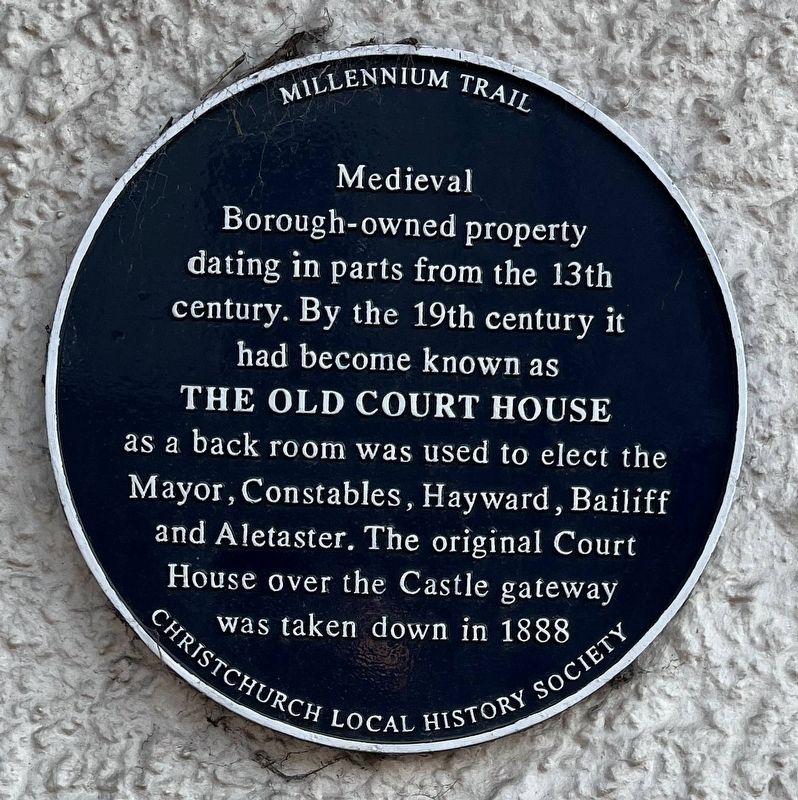
The Old Court House
as a back room was used to elect the Mayor, Constables, Hayward, Bailiff and Aletaster. The original Court House over the Castle gateway was taken down in 1888
Erected by Christchurch Local History Society.
Topics. This historical marker is listed in this topic list: Law Enforcement.
Location. 50° 44.028′ N, 1° 46.497′ W. Marker is in Christchurch, England, in Bournemouth Christchurch and Poole. It is on Castle Street, on the left when traveling west. Touch for map. Marker is at or near this postal address: 11 Castle Street, Christchurch, England BH23 1DT, United Kingdom. Touch for directions.

Regionally, it is on the Atlantic Ocean, in the North Atlantic Region, in Europe, in Atlantic Europe, on one of the British Isles, in the Western World, and in the Anglosphere. Historically, it finds itself in what was once the Roman Empire.
Other nearby markers. At least 8 other markers are within walking distance of this marker:
this page online
Another marker is no longer nearby. The Ducking Stool (was about 90 meters away).
Photographed by Ray Gurganus, April 2, 2025
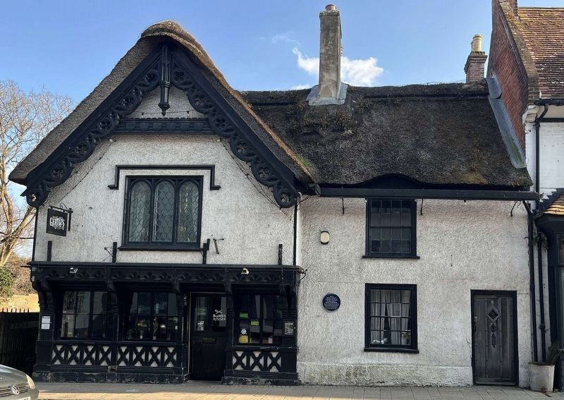
2. The Old Court House and Marker
Credits. This page was last revised on May 23, 2025. It was originally submitted on May 18, 2025, by Ray Gurganus of Washington, District of Columbia. This page has been viewed 107 times since then and 13 times this year. Photos: 1, 2. submitted on May 18, 2025, by Ray Gurganus of Washington, District of Columbia. • Andrew Ruppenstein was the editor who published this page.
