
Southampton City Centre , England, United Kingdom — Northwestern Europe (the British Isles)
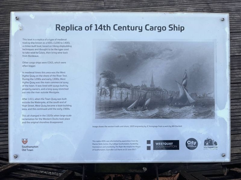
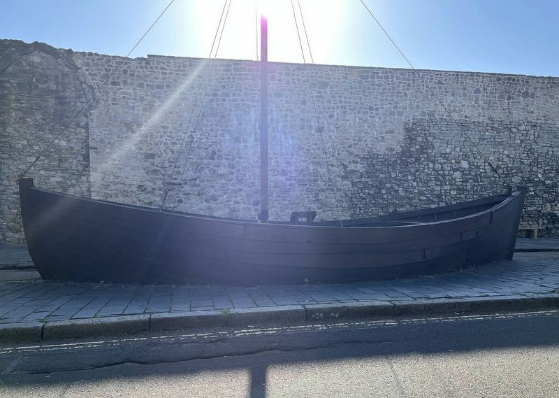
Replica of a 14th Century Cargo Ship
Photographed by Ray Gurganus, April 1, 2025
1. Replica of a 14th Century Cargo Ship Marker
Other cargo ships were COGS, which were often bigger.
In medieval times this area was the West Hythe Quay on the shore of the River Test. During the 1200s and early 1300s, West Hythe Quay was the main commercial quay of the town. It was lined with quays built by property owners, and a long quay stretched out into the river outside Westgate.
After 1411, when the Town Quay was built outside the Watergate, at the south end of High Street, West Quay became a boat-building area, and this continued until the early 1900s.
This all changed in the 1920s when large-scale reclamation for the Western Docks took place and the original shoreline disappeared.
This replica KEEL was refurbished by apprentices from the Marine Skills Centre, City College Southampton funded by Hammerson and unveiled by The Right Worshipful the Mayor of Southampton Councillor Les Harris on 22 June 2017.
Erected by Southampton
this page online
Topics. This historical marker is listed in this topic list: Waterways & Vessels.
Location. 50° 53.965′ N, 1° 24.413′ W. Marker is in Southampton, England. It is in Southampton City Centre. It is on Western Esplanade, on the left when traveling south. Touch for map. Marker is at or near this postal address: Western Esplanade, Southampton, England SO14 2AZ, United Kingdom. Touch for directions.

Regionally, this marker is in England’s Hampshire Ports. Globally, it is on the Atlantic Ocean, in the North Atlantic Region, in Europe, in Atlantic Europe, on one of the British Isles, in the Western World, and in the Anglosphere. Historically, it finds itself in what was once the Roman Empire.
Other nearby markers. At least 8 other markers are within walking distance of this marker: Blue Anchor Lane (within shouting distance of this marker); Southampton's Medieval West Quay c.1450 (within shouting distance of this marker); Westgate (within shouting distance of this marker); Walter Taylor (within shouting distance of this marker); a different marker also
Photographed by Ray Gurganus, April 1, 2025
2. Cargo Ship Replica
Credits. This page was last revised on May 18, 2025. It was originally submitted on May 18, 2025, by Ray Gurganus of Washington, District of Columbia. This page has been viewed 183 times since then and 46 times this year. Photos: 1, 2. submitted on May 18, 2025, by Ray Gurganus of Washington, District of Columbia. • Andrew Ruppenstein was the editor who published this page.
