
Arnprior in Renfrew County, Ontario — Central Canada (North America)
Timber Rafting on the Ottawa
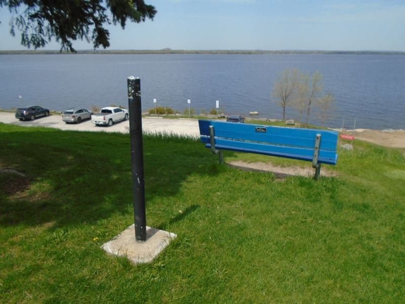
Photographed by William Fischer, Jr., May 13, 2025
1. Timber Rafting on the Ottawa Marker
The rafting of square timber down the Ottawa River, begun in 1806, reached its peak during 1861-91 and ended in 1909. Pine "sticks" from .1 to .2 square metres and 12 to 15 metres long were floated down tributary rivers such as the Petawawa, Madawaska, Bonnechere and Mississippi to rafting points on the Ottawa. There "cribs" were made up, containing 20 to 40 pieces of timber, and as many as 200 cribs, were in turn assembled into a raft. These rafts could be taken apart for passage down rapids or the timber slides which by-passed them. Arriving at Quebec City as much as two months later, they were dismantled and the timber loaded for shipment overseas.
Erected by Ontario Heritage Trust.
Topics and series. This historical marker is listed in these topic lists: Industry & Commerce • Waterways & Vessels. In addition, it is included in the Canada, Ontario Heritage Trust series list. A significant historical year for this entry is 1806.
Location. Marker has been reported missing. It was located near 45° 26.609′ N, 76° 21.064′ W. Marker was in Arnprior, Ontario, in Renfrew County. It could be reached from John Street
this page online

Regionally, this marker was in the Haliburton Highlands to Ottawa Valley and in Eastern Ontario. It was also in Central Canada. Globally, it was in North America, the Western Hemisphere, the Western World, and the Anglosphere. Historically, it found itself in what was once a British colony, the Viceroyalty of New France, the Haudenosaunee (Iroquois) Confederacy, and Rupert’s Land.
Other nearby markers. At least 8 other markers are within 13 kilometers of this location, measured as the crow flies: Daniel McLachlin (about 90 meters away, measured in a direct line); War Memorial (approx. 0.3 kilometers away); Grace-St. Andrew's United Church Cornerstone Laying (approx. 0.6 kilometers away); David A. Gillies Building (approx. one kilometer away); The Arnprior Post Office and Customs House (approx. one kilometer away); McLachin Grist Mill (approx. one kilometer away); Pakenham's Early Growth (approx. 13 kilometers away); Pakenham 5 Arched Stone Bridge
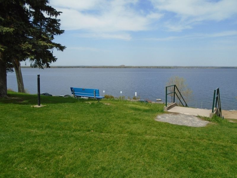
Photographed by William Fischer, Jr., May 13, 2025
2. Timber Rafting on the Ottawa Marker
Credits. This page was last revised on May 19, 2025. It was originally submitted on May 19, 2025, by William Fischer, Jr. of Reynoldsburg, Ohio. This page has been viewed 93 times since then and 20 times this year. Photos: 1, 2. submitted on May 19, 2025, by William Fischer, Jr. of Reynoldsburg, Ohio.
