
Alliston in Essa in Simcoe County, Ontario — Central Canada (North America)
Founding of Elmgrove

Photographed by Cosmos Mariner, June 4, 2024
1. Founding of Elmgrove Marker
Elmgrove was known as “Elm Flats” because of its many elm trees.
This area was settled in the 1830’s by settlers of English & Irish descent. The name was changed to Elmgrove in 1840. The settlers found much of the land swampy. The swamp extended from the 3rd to the 4th line. A corduroy road was built across the swamp which is the 5th Sideroad.
Elmgrove School S.S. No. 2 was built in the 1840’s at the northeast corner of 5th Sideroad and 4th Line; then rebuilt in 1899 and was closed in 1959. Then it became a Community Centre until 2010 when it was sold and renovated for a private home.
East of the school at the 5th Line was the small village of Elmgrove. It consisted of a store, a blacksmith shop, a shoemaker’s shop, a wagon maker’s place, a hotel, a post office and a few private homes.
Elmgrove Methodist Church was built on the southeast corner of the 5th Sideroad and 4th Line in 1882. This church was closed in 1921 and torn down in 1926. The Orange Hall was built beside the church and was there for many years.
St. Peter’s Anglican Church was built on 5th Sideroad and 3rd Line in 1862 and closed in 1982.
Supported by Township of Essa
2011
Erected 2011
this page online
Topics. This historical marker is listed in these topic lists: Education • Religion & Religious Structures • Roads & Vehicles • Settlements & Settlers. A significant historical year for this entry is 1840.
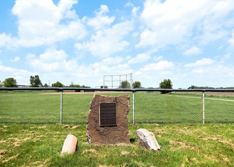
Location. 44° 11.305′ N, 79° 50.49′ W. Marker is in Essa, Ontario, in Simcoe County. It is in Alliston. It is on 5th Side Road just west of County Road 10, on the right when traveling west. The marker is located on the south side of the Elmgrove Ball Park, just outside the fence. Touch for map. Marker is at or near this postal address: 6580 5th Side Road, Essa ON L9R 1V2, Canada. Touch for directions.

Regionally, this marker is in Central Ontario Cottage Country and specifically in Georgian Bay Country. It is also in Central Canada. Globally, it is in North America, on the Great Lakes, in the Western Hemisphere, in the Western World, and in the Anglosphere. Historically, it finds itself in what was once a British colony, the Viceroyalty of New France, the Haudenosaunee (Iroquois) Confederacy, and Rupert’s Land.
Other nearby markers. At least 8 other
Photographed by Cosmos Mariner, June 4, 2024
2. Founding of Elmgrove Marker
Looking north from 5th Side Road. The Elmgrove Ball Park is in the background.
Credits. This page was last revised on May 20, 2025. It was originally submitted on May 19, 2025, by Cosmos Mariner of Cape Canaveral, Florida. This page has been viewed 136 times since then and 22 times this year. Photos: 1. submitted on May 19, 2025, by Cosmos Mariner of Cape Canaveral, Florida. 2. submitted on May 20, 2025, by Cosmos Mariner of Cape Canaveral, Florida.
