Angeles National Forest in Los Angeles County, California — The American West (Pacific Coastal)
Henninger Flats
Photographed by Craig Baker, May 9, 2025
1. Henninger Flats Marker
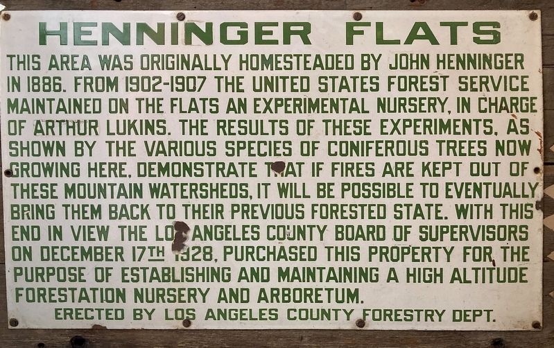
This area was originally homesteaded by John Henninger in 1886. From 1902-1907 the United States Forest Service maintained on the flats an experimental nursery, in charge of Arthur Lukins. The results of these experiments, as shown by the various species of coniferous trees now growing here, demonstrate that if fires are kept out of these mountain watersheds, it will be possible to eventually bring them back to their previous forested state. With this end in view, the Los Angeles County Board of Supervisors on December 17th 1928, purchased this property for the purpose of establishing and maintaining a high altitude forestry station nursery and arboretum.
Erected by Los Angeles County Forestry Dept.
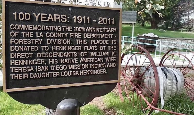
100 Years: 1911 - 2011
Commemorating the 100th anniversary of the LA County Fire Department - Forestry Division. This plaque is donated to Henninger Flats by the direct descendants of William K. Henninger, his Native American wife Teresa (San Diego Mission Indian) and their daughter Louisa Henninger.
Topics. This historical marker is listed in these topic lists: Horticulture & Forestry
this page online
Location. 34° 11.611′ N, 118° 5.401′ W. Marker is in Angeles National Forest, California, in Los Angeles County. It can be reached from Mount Wilson Toll Road 3 miles east of Pinecrest Drive. Touch for map. Marker is in this post office area: Altadena CA 91001, United States of America. Touch for directions.

Regionally, this marker is in Greater Los Angeles and in the Transverse Ranges. It is also on the American Pacific Coast. Globally, it is in North America, on the Ring of Fire, on the Pacific Rim, in the Western Hemisphere, in the Western World, and in the Anglosphere. Historically, it finds itself in what was once New Spain and also Mexico’s Alta California.
Other nearby markers. At least 8 other markers are within 3 miles of this marker, measured as the crow flies: Castro Peak Fire Lookout Tower (within shouting distance of this marker); One Man & Mule Railway (about 300 feet away, measured in a direct line); Many People of Eaton Canyon (approx. 1.2 miles away); Eaton Canyon (approx. 1.3 miles away); MacPherson Parkway
Photographed by Craig Baker
2. 100 Years: 1911-2011
L.A. County Fire Department Forestry Division
More about this marker. L.A. County Fire Dept has closed Henninger Flats. Most of the historical artifacts, including the original Henninger Flats marker, have been relocated to the Pomona Fairgrounds for display during the annual Los Angeles County Fair.
Additional keywords. Eaton Fire, Southern California Wildfires, 2025
Photographed by Craig Baker, circa 2017
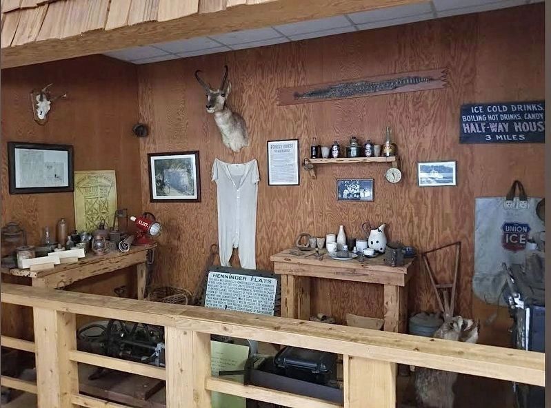
3. Henninger Flats Marker
The marker was moved inside the visitor center museum. These items were relocated to the Pomona Fairgrounds prior to the destructive 2025 Eaton Fire.
Photographed by Craig Baker, circa 2017
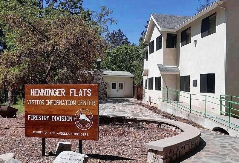
4. Henninger Flats
Visitor Center - Destroyed by the 2025 Eaton Fire.
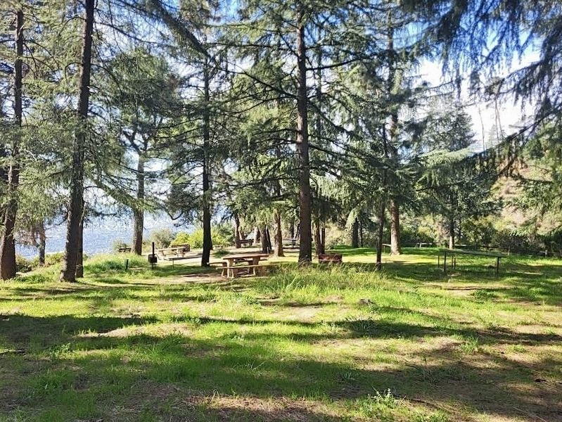
Photographed by Craig Baker, circa 2017
5. Henninger Flats
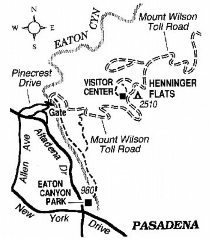
6. Henninger Flats Trail Map
Trails closed after fires or floods.
Photographed by Craig Baker
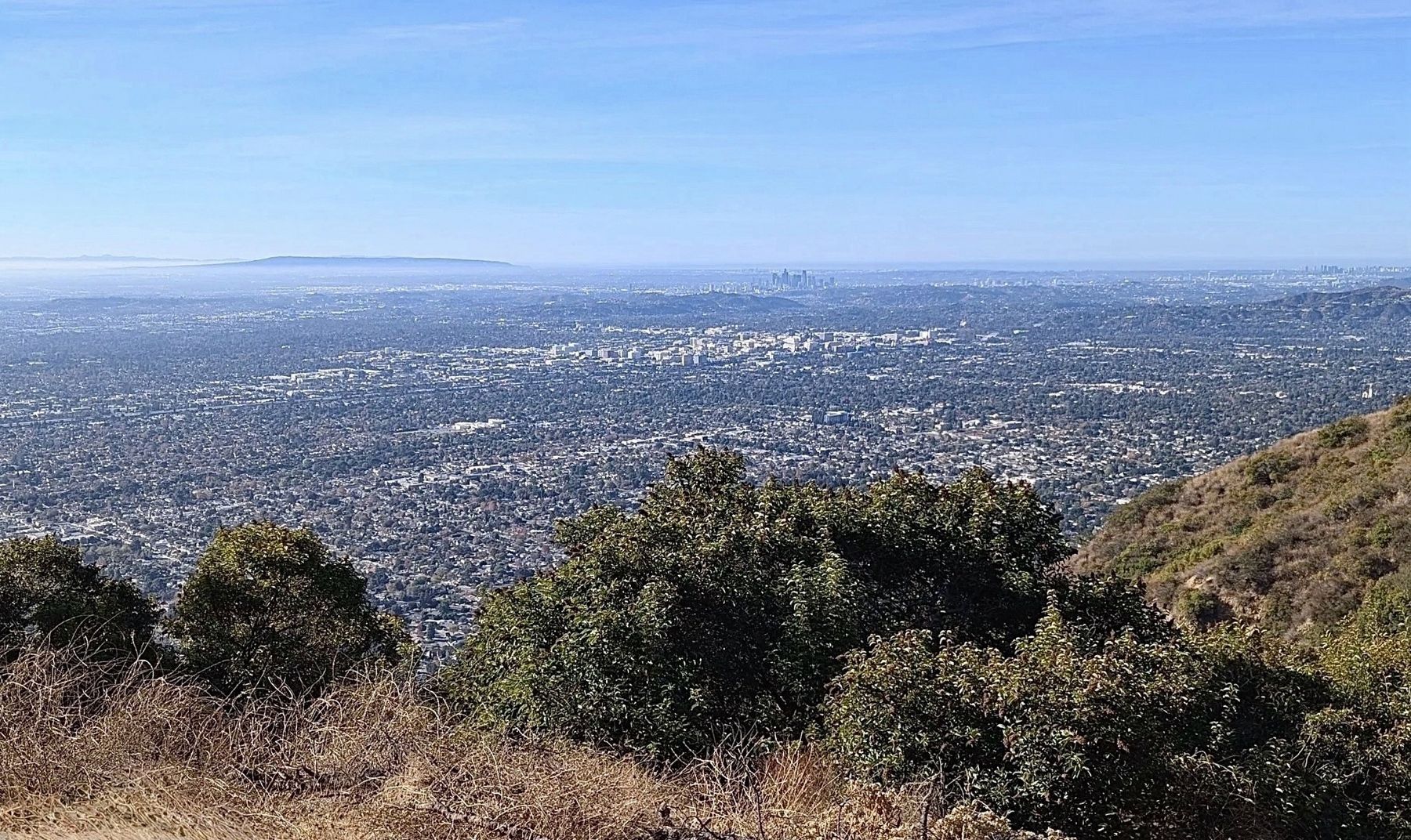
7. View from Henninger Flats on a Clear Day
At center: Pasadena. On horizon at center: Downtown Los Angeles. Upper right: Century City. Upper left: Mountains of Palos Verdes Peninsula. Extreme left: Catalina Island, 60 miles away.
Credits. This page was last revised on May 20, 2026. It was originally submitted on May 20, 2025, by Craig Baker of Sylmar, California. This page has been viewed 242 times since then and 43 times this year. Photos: 1, 2, 3, 4, 5, 6, 7. submitted on May 20, 2025, by Craig Baker of Sylmar, California.
