Angeles National Forest in Los Angeles County, California — The American West (Pacific Coastal)
Castro Peak Fire Lookout Tower
Photographed by Craig Baker, circa 2017
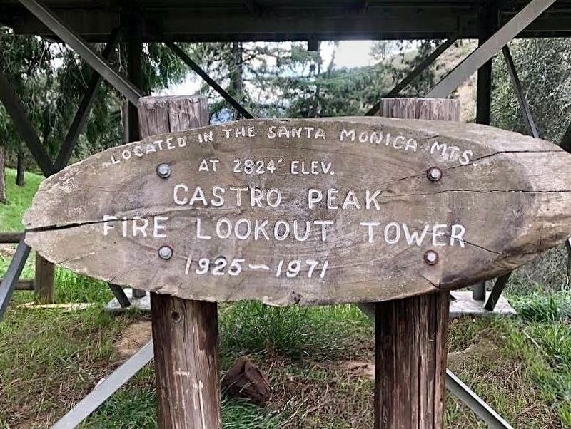
1. Castro Peak Fire Lookout Tower Marker
Castro Peak Fire Lookout Tower located in the Santa Monica Mts. at 2824' elev. 1925-1971.
Topics. This historical marker is listed in these topic lists: Horticulture & Forestry • Parks & Recreational Areas. A significant historical year for this entry is 1925.
Location. 34° 11.614′ N, 118° 5.449′ W. Marker is in Angeles National Forest, California, in Los Angeles County. It can be reached from Mount Wilson Toll Road 3 miles east of Pinecrest Drive. Touch for map. Marker is in this post office area: Altadena CA 91001, United States of America. Touch for directions.

Regionally, this marker is in Greater Los Angeles and in the Transverse Ranges. It is also on the American Pacific Coast. Globally, it is in North America, on the Ring of Fire, in the Pacific Rim, in the Western Hemisphere, in the Western World, and in the Anglosphere. Historically, it finds itself in what was once New Spain and also Mexico’s Alta California.
Other nearby markers. At least 8 other markers are within 2 miles of this marker, measured as the crow flies: One Man & Mule Railway (a few steps from this marker); Henninger Flats (within
this page online
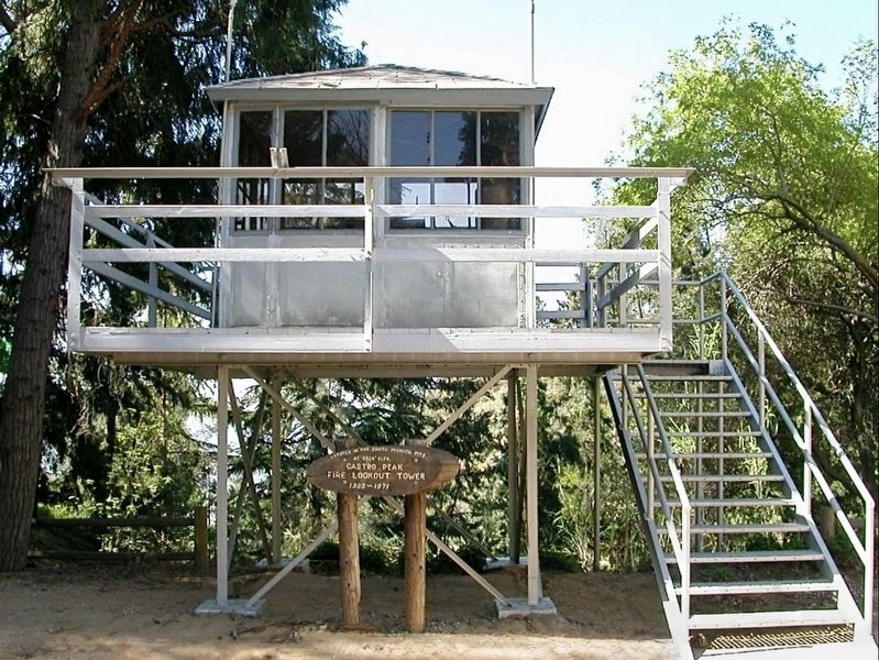
Regarding Castro Peak Fire Lookout Tower. Built in 1925 on Castro Peak, the highest point in the Malibu Hills west of Los Angeles at coordinates N 34.085989 W 118.785362, Castro Peak Lookout was an 8'x8' metal cab on a 22-foot tower. It was built and operated by the Los Angeles County Forestry Department until it went out of service in 1971. In approximately 1978, it was moved to L.A. County Fire Department’s Henninger Flats Forestry Unit, which occupies an island of county property in the Angeles National Forest. At Henninger Flats, the tower was refurbished, stocked with 1925 period artifacts, and mounted on a 7-foot tower as a historic public education display, and part of the Forestry Unit’s visitor center/museum.
By 2025 the Los Angeles Country Fire Departrment
Photographed by Craig Baker, circa 2017
2. Castro Peak Fire Lookout Tower and Marker
- from National Historic Lookout Register
Also see . . . National Historic Lookout Register. (Submitted on May 20, 2025.)
Additional keywords. Eaton Fire, Southern California Wildfires, 2025
Photographed by Craig Baker, circa 2017
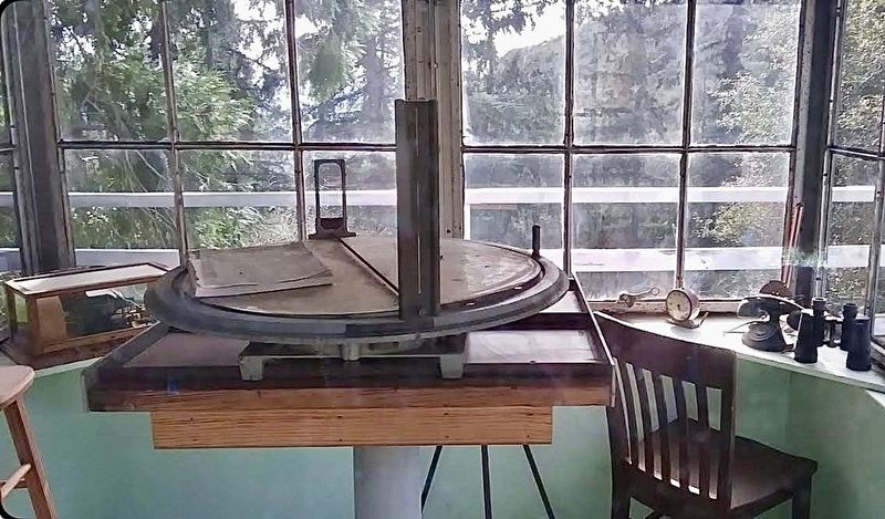
3. Lookout Interior
Featuring the historic Osborne Fire Finder.

Photographed by Craig Baker, circa 2017
4. Henninger Flats Forestry Station
Photographed by Craig Baker, circa 2017
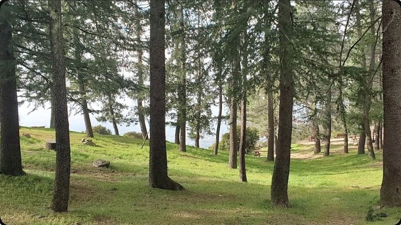
5. Henninger Flats Forestry Station

Photographed by Craig Baker, April 29, 2026
6. Castro Peak Fire Lookout Tower
Relocated to the Pomona Fairgrounds, waiting to be installed.
Credits. This page was last revised on April 30, 2026. It was originally submitted on May 20, 2025, by Craig Baker of Sylmar, California. This page has been viewed 207 times since then and 24 times this year. Photos: 1, 2, 3, 4, 5. submitted on May 20, 2025, by Craig Baker of Sylmar, California. 6. submitted on April 30, 2026, by Craig Baker of Sylmar, California.
