Speyer, Rhineland-Palatinate, Germany — Central Europe
Wiedervereinigung Deutschlands
⎯⎯⎯
Reunification of Germany
Photographed by James Hulse, May 20, 2025
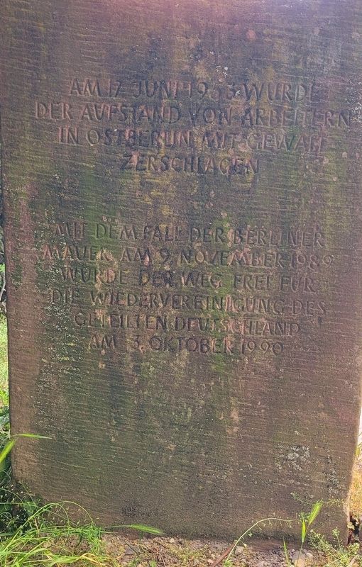
1. Wiedervereinigung Deutschlands / Reunification of Germany Marker

Am 17. Juni 1953 wurde der Aufstand von Arbeitern in Ostberlin mit Gewalt zerschlagen.
Mit dem Fall der Berliner Mauer im November 1989 wurde der Weg frei für die Wiedervereinigung des geteilten Deutschlands am 3. Oktober 1990.
On June 17, 1953, the uprising of workers in East Berlin was crushed with force.
With the fall of the Berlin Wall in November 1989, the way was cleared for the reunification of divided Germany on October 3, 1990.
Topics. This historical marker is listed in this topic list: Notable Events. A significant historical date for this entry is June 17, 1953.
Location. 49° 18.977′ N, 8° 26.508′ E. Marker is in Speyer, Rheinland-Pfalz (Rhineland-Palatinate). It is at the intersection of Domplatz and Große Pfaffengasse, on the right when traveling north on Domplatz. The marker is located along the walkway near the garden area. Touch for map. Marker is at or near this postal address: Domplatz 1b, Speyer RP 67346, Germany. Touch for directions.

Regionally, it is in Europe, the European Union, Atlantic Europe, Central Europe, the Schengen Area, Western Europe, and the Western World. Historically, it finds itself in what was once the Roman Empire and specifically also the Holy Roman Empire.
Other nearby markers. At least 8 other markers are within walking distance of this marker: Ehemalige Domherrenkurie / Former Canon’s Residence (within shouting distance of this marker); a different marker also named Ehemalige Domherrenkurie / Former Canon’s Residence (within shouting distance of this marker); Ölberg / Mount of Olives (within shouting distance of this marker); Standbilder der „Salier-Kaiser“ / Statues of the "Salian Emperors" (about 90 meters away, measured in a direct line); Domnapf (about 120 meters away); Kaiserdom / Imperial Cathedral (about 120
this page online

Photographed by James Hulse, May 20, 2025
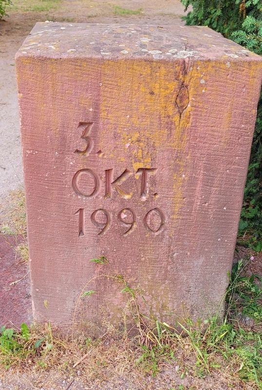
2. Front side of the marker - June 17, 1953
Photographed by James Hulse, May 20, 2025
3. Right side of the marker - October 3, 1990
Photographed by James Hulse, May 20, 2025
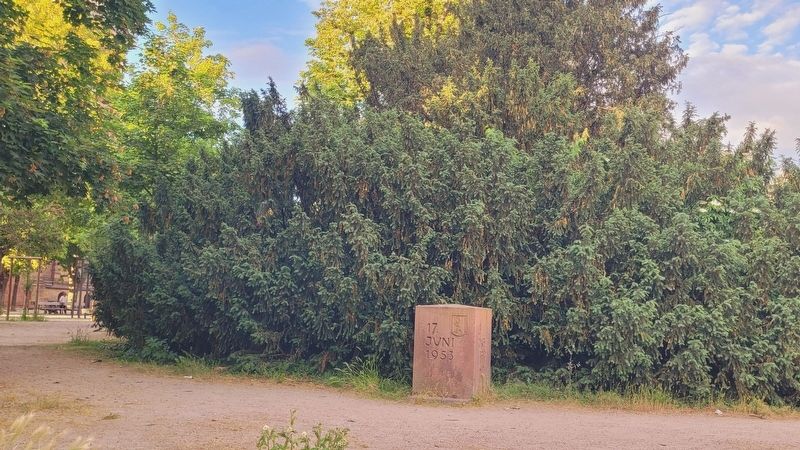
4. The view of the Reunification of Germany Marker along the street
Credits. This page was last revised on May 22, 2025. It was originally submitted on May 21, 2025, by James Hulse of Medina, Texas. This page has been viewed 88 times since then and 12 times this year. Photos: 1, 2, 3, 4. submitted on May 22, 2025, by James Hulse of Medina, Texas.
