Kaysville in Davis County, Utah — The American Mountains (Southwest)
Kaysville on the Salt Lake Cutoff
Hensley - Salt Lake City Cutoff

Photographed by Jeremy Snow, May 20, 2025
1. Kaysville on the Salt Lake Cutoff Marker
Hensley - Salt Lake City Cutoff
In August 1848, ten men with a mule pack train under the leadership of Samuel Hensley pioneered a trail near California Road at City of Idaho Utah border. Traveling Humboldt River, Hensley met and gave directions to a wagon train of discharged Mormon Battalin members who then hacked out a wagon road over Hensley's Trail to Great Salt Lake City, thus establishing the Hensley-Salt Lake Cutoff.
Kaysville on the Salt Lake Cutoff
In the fall of 1848, Hector C. Haight moved his family to a stream in West Kaysville that later became known as Haight's Creek. On the flood plain around the creek, a fine grove of trees provided shade and shelter. This was a natural resting place on the trail and was a comfort to thousands of travelers on their way to California. It became known as Blooming Grove. Eventually, Hector Haight offered hotel accommodations and blacksmith services for travelers on the trail. It has been estimated that one-third of all immigrants responding to the California Gold Rush came along this route in the years 1849-1854. The trail, which followed the bluff through Kaysville
this page online
Topics and series. This historical marker is listed in these topic lists: Roads & Vehicles • Settlements & Settlers. In addition, it is included in the California Trail series list. A significant historical year for this entry is 1848.
Location. 41° 0.267′ N, 111° 56.712′ W. Marker is in Kaysville, Utah, in Davis County. It is on South Sunset Drive, on the left when traveling north. Touch for map. Marker is at or near this postal address: 1898 S Sunset Drive, Kaysville UT 84037, United States of America. Touch for directions.

Regionally, this marker is in the Wasatch Front and in Greater Salt Lake. It is also in the American Mountain West and on the Colorado Plateau. Globally, it is in North America, the Rocky Mountains, the Western Hemisphere, the Western World, and the Anglosphere. Historically, it finds itself in what was once New Spain and also Mexico’s Alta California.
Other nearby markers. At least 8 other markers are within 3 miles of this marker, measured as the crow flies:
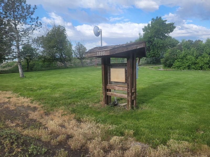
Photographed by Jeremy Snow, May 20, 2025
2. Kaysville on the Salt Lake Cutoff Marker
Credits. This page was last revised on May 22, 2025. It was originally submitted on May 21, 2025, by Jeremy Snow of Cedar City, Utah. This page has been viewed 133 times since then and 20 times this year. Photos: 1, 2. submitted on May 21, 2025, by Jeremy Snow of Cedar City, Utah. • Andrew Ruppenstein was the editor who published this page.
