Stirling in Stirling-Rawdon in Hastings County, Ontario — Central Canada (North America)
Rotary Covered Bridge
Photographed by William Fischer, Jr., May 12, 2025
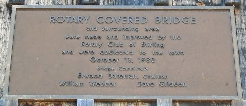
1. Rotary Covered Bridge Marker
and surrounding area
were made and improved by the
Rotary Club of Stirling
and were dedicated to the town
October 13, 1980
Bridge Committee:
Elwood Bateman, Chairman
William Webber · Dave Gliddon
Erected 1980 by Rotary Club of Stirling.
Topics and series. This historical marker is listed in these topic lists: Bridges & Viaducts • Charity & Public Work • Parks & Recreational Areas. In addition, it is included in the Covered Bridges, and the Rotary International series lists. A significant historical date for this entry is October 13, 1980.
Location. 44° 17.794′ N, 77° 32.802′ W. Marker is in Stirling-Rawdon, Ontario, in Hastings County. It is in Stirling. It is on Front Street (Highway 14) close to John Street, on the right when traveling west. Touch for map. Marker is at or near this postal address: 26 East Front Street, Stirling-Rawdon ON K0K 3E0, Canada. Touch for directions.

Regionally, this marker is in Eastern Ontario and specifically in Southeastern Ontario. It is also in Central Canada. Globally, it is in North America, on the Great Lakes, in the Western Hemisphere, in the Western World,
this page online
Other nearby markers. At least 8 other markers are within 5 kilometers of this marker, measured as the crow flies: War Memorial Cenotaph (within shouting distance of this marker); Memorial to our Veterans (within shouting distance of this marker); Stirling's Fire Hall (within shouting distance of this marker); Bank of Montreal (within shouting distance of this marker); Empire Block (about 120 meters away, measured in a direct line); Stirling Theatre (about 180 meters away); The Stirling Community Service Building (about 180 meters away); River Valley Pioneer Cemetery (approx. 3.4 kilometers away). Touch for a list and map of all markers in Stirling-Rawdon.
More about this marker. Markers are on both ends of the covered bridge, which spans Rawdon Creek.

Photographed by William Fischer, Jr., May 12, 2025
2. Rotary Covered Bridge and Marker

Photographed by William Fischer, Jr., May 12, 2025
3. Rotary Covered Bridge and Marker
Photographed by William Fischer, Jr., May 12, 2025
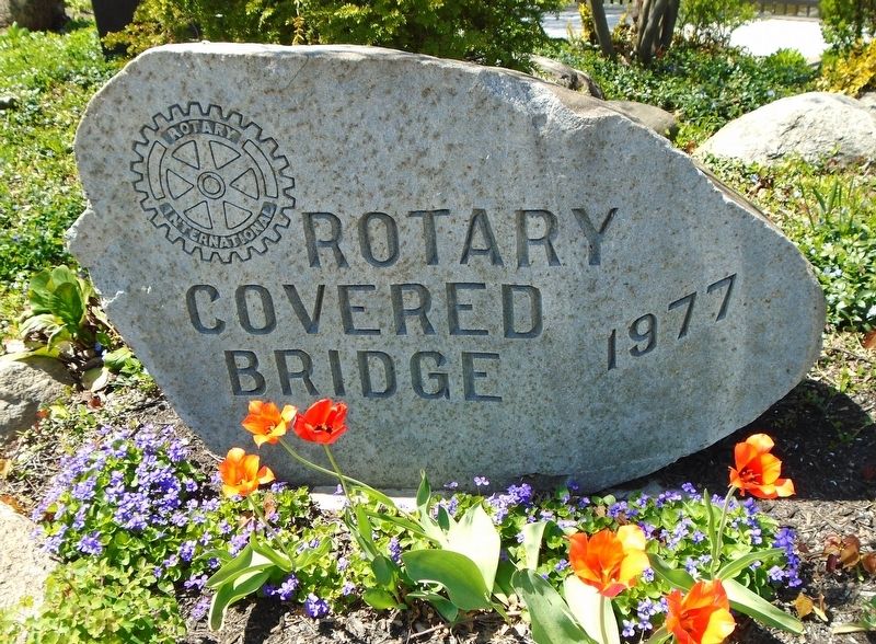
4. Rotary Covered Bridge Marker
Credits. This page was last revised on May 22, 2025. It was originally submitted on May 22, 2025, by William Fischer, Jr. of Reynoldsburg, Ohio. This page has been viewed 104 times since then and 15 times this year. Photos: 1, 2, 3, 4. submitted on May 22, 2025, by William Fischer, Jr. of Reynoldsburg, Ohio.
