Layton in Davis County, Utah — The American Mountains (Southwest)
Layton Little Fort

Photographed by Jeremy Snow, May 20, 2025
1. Layton Little Fort Marker
The pioneers who settled what is now Layton, Utah, established a fort in 1854-55 on the road then called Little Fort Lane. This road extended from Five Points, north to Little Fort and joined the Kays Creek roads from the east.
In those years the families of Billa Dickson, John Green, William Lindsey, Mark and Pratt Whitesides, and the Shipley and Croft families, lived in "The Little Fort." It was given this name because a large fort had already been established in the center of Kaysville.
This little fort, to protect the people from the Indians, was built on the south bank of Kays Creek overlooking the sandridge road from the Morris Town Hill. The fort served mainly as a lookout point on the Indian camp area. Friendly Indians lived along the hollow.
Little Fort was built in the shape of a square with the houses forming the outside walls which were built of rock, dried mud and mortar. Vegetable gardens which provided necessary food were raised in the center court of this fort and were tended for several years after the fort was abandoned. One cabin that was moved from Little Fort can still be found at 400 North
this page online
Erected 1988 by Daughters of Utah Pioneers. (Marker Number 445.)
Topics. This historical marker is listed in these topic lists: Forts and Castles • Settlements & Settlers • Wars, US Indian. A significant historical year for this entry is 1854.
Location. 41° 3.913′ N, 111° 57.725′ W. Marker is in Layton, Utah, in Davis County. It can be reached from Wasatch Drive south of Constitution Circle, on the right when traveling south. Marker located near the DUP Museum in the Layton Commons Park. Touch for map. Marker is at or near this postal address: 403 Wasatch Dr, Layton UT 84041, United States of America. Touch for directions.

Regionally, this marker is in the Wasatch Front and in Greater Salt Lake. It is also in the American Mountain West and on the Colorado Plateau. Globally, it is in North America, the Rocky Mountains, the Western Hemisphere, the Western World, and the Anglosphere. Historically, it finds itself in what was once New Spain and also Mexico’s Alta California.
Other nearby markers. At least 8
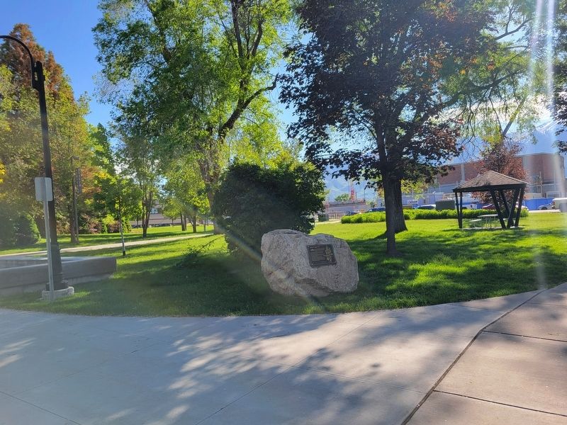
Photographed by Jeremy Snow, May 20, 2025
2. Layton Little Fort Marker
Credits. This page was last revised on May 23, 2025. It was originally submitted on May 23, 2025, by Jeremy Snow of Cedar City, Utah. This page has been viewed 232 times since then and 60 times this year. Photos: 1, 2. submitted on May 23, 2025, by Jeremy Snow of Cedar City, Utah. • Devry Becker Jones was the editor who published this page.
