Pikeville in Pike County, Kentucky — The American South (East South Central)
Revolutionary Revitalization
Photographed by J. J. Prats, May 16, 2025
1. Revolutionary Revitalization Marker
Topics. This historical marker is listed in these topic lists: Government & Politics • Railroads & Streetcars • Waterways & Vessels.
Location. 37° 28.344′ N, 82° 32.306′ W.
this page online

Regionally, this marker is in Eastern Kentucky. It is also in the American South, specifically in the Upper South, in Appalachia, and specifically in Southern Appalachia. Globally, it is in North America, the Western Hemisphere, the Western World, and the Anglosphere. Historically, it finds itself in what was once the territory of the Mississippian Culture and also the Antebellum South.
Other nearby markers. At least 8 other markers are within walking distance of this marker: Timeline to Transformation (here, next to this marker); Mayor Hambley: Cut-Thru was ‘an act of God’ (a few steps from this marker); a different marker also named Timeline to Transformation (a few steps from this marker); Pikeville Cut-Through Project (within shouting distance of this marker); Trail of Fame (approx. half a mile away); a different
Photographed by J. J. Prats, May 16, 2025
2. Revolutionary Revitalization Marker
The steep walkway in the background leads down to the nearby Pikeville Cut-Through marker and the observation platform.
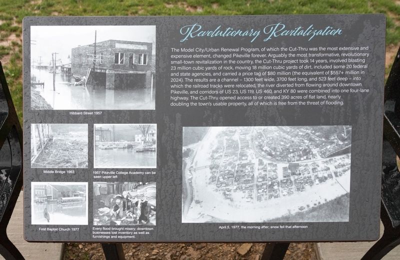
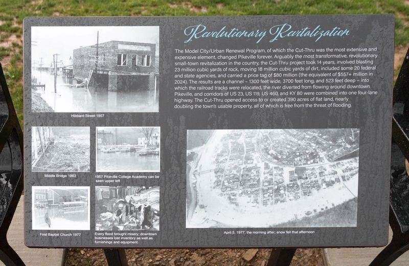
More about this marker. This interpretive panel has six photographs showing flood damage over the years. They are captioned as follows.
- Hibbard Street 1957
- Middle Bridge 1963
- First Baptist Church 1977
- 1957 Pikeville College Academy can be seen upper left
- Every flood brought misery, downtown businesses lost inventory as well as furnishings and equipment.
- April 5, 1977, the morning after, snow fell that afternoon
Photographed by J. J. Prats, May 16, 2025
3. Pikeville Cut-Through Overlook at Noon on a Rainy Day
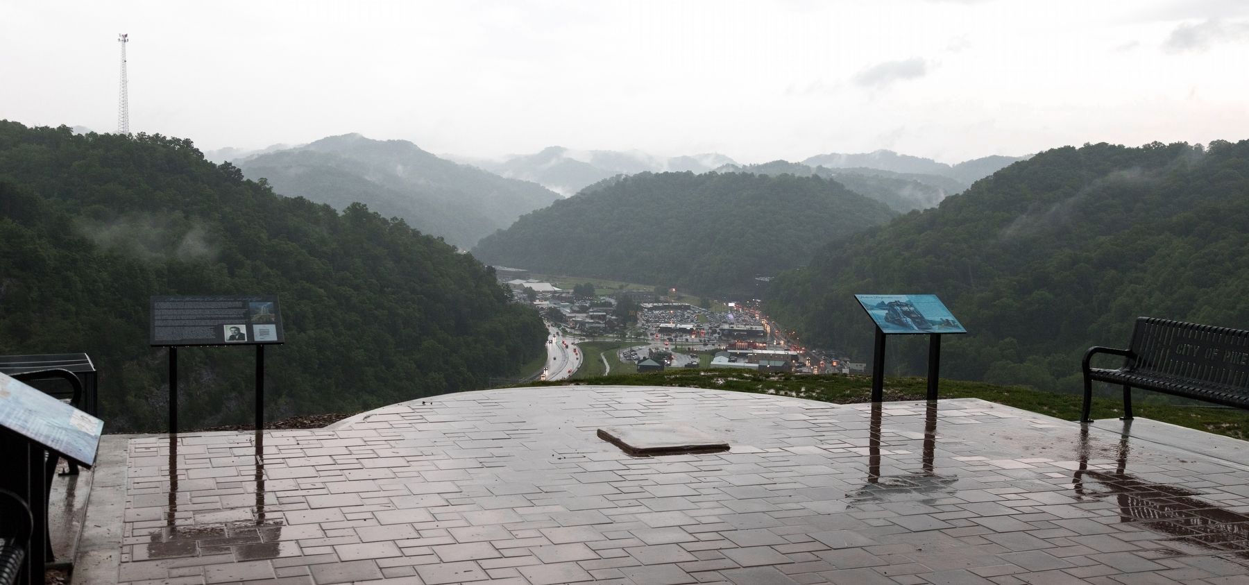
Four interpretive panels and four metal benches are arrayed around this viewing area. This panel is just out of frame on the right. Pikeville is in the distance.
Credits. This page was last revised on May 24, 2025. It was originally submitted on May 24, 2025, by J. J. Prats of Powell, Ohio. This page has been viewed 161 times since then and 34 times this year. Photos: 1, 2, 3. submitted on May 24, 2025, by J. J. Prats of Powell, Ohio.
