Sugar House in Salt Lake City in Salt Lake County, Utah — The American Mountains (Southwest)
Golden Pass Road

Photographed by Jeremy Snow, May 19, 2025
1. Golden Pass Road Marker
This alternate valley entrance was explored and built by Parley P. Pratt and was used as a means for securing fuel and timber for himself and other emigrants. To defray his expenses for road building, he initiated a toll for others to use his road in 1848.
His established rates were as follows: 75 cents for a two-horse outfit, 10 cents for each additional pack or saddle animal, and 1 cent per head for sheep and loose stock. His toll house was located near the creek and approximately 1/2 mile west of Suicide Rock.
Initially the Golden Pass Road was passible for horse and wagon, and between 1850-1869 thousands of Mormon Pioneer Emigrants, California-bound Gold Seekers, Pony Express riders, Overland Stage Coaches, plus thousands of soldiers traveled over this dirt road.
(photo caption) Portion of road up Parleys Canyon, showing how unfinished it was, but adequate to get wagons and horses over.
(photo camption) Early form of transportation
this page online
Erected 1992 by Sons of Utah Pioneers Pioneer Heritage Chapter. (Marker Number 43.)
Topics and series. This historical marker is listed in this topic list: Roads & Vehicles. In addition, it is included in the Sons of Utah Pioneers series list. A significant historical year for this entry is 1848.
Location. 40° 42.938′ N, 111° 50.055′ W. Marker is in Salt Lake City, Utah, in Salt Lake County. It is in Sugar House. It is at the intersection of South 2000 East and East Stratford Avenue, on the right when traveling south on South 2000 East. Touch for map. Marker is at or near this postal address: 2540 S 2000 E, Salt Lake City UT 84106, United States of America. Touch for directions.

Regionally, this marker is in the Wasatch Front and in Greater Salt Lake. It is also in the American Mountain West and on the Colorado Plateau. Globally, it is in North America, the Rocky Mountains, the Western Hemisphere, the Western World, and the Anglosphere. Historically, it finds itself in what was once New Spain and also Mexico’s Alta California.
Other nearby markers. At least 8 other
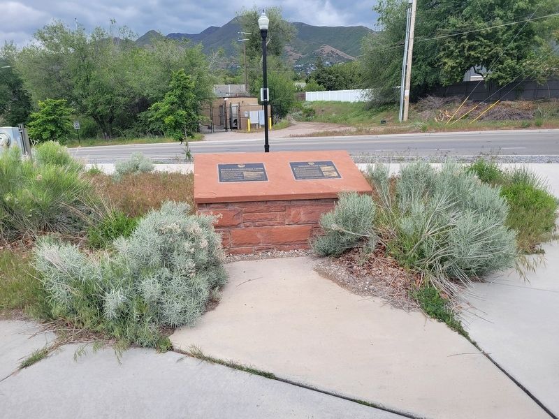
Photographed by Jeremy Snow, May 19, 2025
2. Golden Pass Road Marker
Credits. This page was last revised on May 28, 2025. It was originally submitted on May 24, 2025, by Jeremy Snow of Cedar City, Utah. This page has been viewed 252 times since then and 68 times this year. Photos: 1, 2. submitted on May 24, 2025, by Jeremy Snow of Cedar City, Utah. • Andrew Ruppenstein was the editor who published this page.
