Lebanon in Southeastern Region, Connecticut — The American Northeast (New England)
Lebanon

Photographed by Michael Herrick, October 13, 2016
1. Lebanon Marker
Poquechaneeg, the Indian name for the Lebanon area, was ceded to Englishmen in six tracts; the first was to Major John Mason in 1665. Settlement was begun in 1695 with fifty-one proprietors who apportioned among themselves home lots around the common. The town was formally organized in 1700 by gathering of a church and calling Pastor Joseph Parsons. By 1756, the population was 3,274, sixth in size in Connecticut.
Jonathan Trumbull was Governor of Connecticut 1769-1784. In May, 1775 the General Assembly established a Council of Safety to plan the defense of the colony during the Revolutionary War. On the cross roads of routes from Norwich to Hartford and Boston to New York, Lebanon was the logical place to meet. Trumbull's store became the War Office, where met nearly 1200 sessions of the Council of Safety.
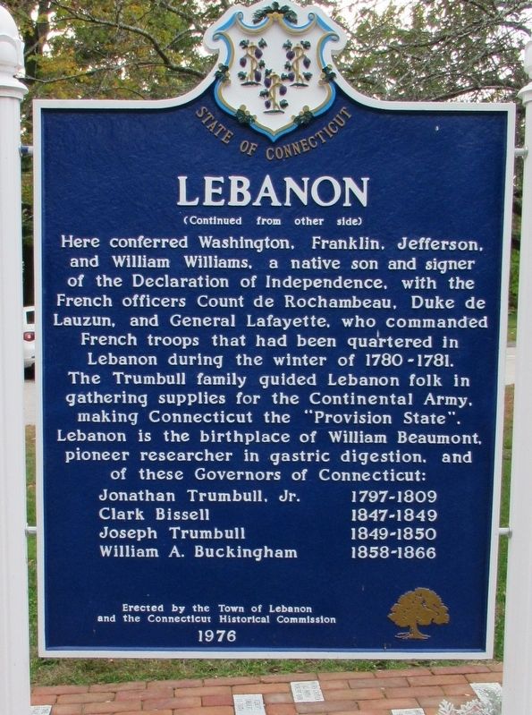
Here conferred Washington, Franklin, Jefferson and William Williams, a native son and signer of the Declaration of Independence, with the French officers Count de Rochambeau, Duke de Lauzun, and General Lafayette, who commanded French troops that had been quartered in Lebanon during the winter of 1780-1781.
this page online
Jonathan Trumbull, Jr. 1797-1809 • Clark Bissell 1847-1849 • Joseph Trumbull 1849-1850 • William A. Buckingham 1858-1866
Erected 1976 by the Town of Lebanon and the Connecticut Historical Commission.
Topics. This historical marker is listed in these topic lists: Colonial Era • Settlements & Settlers. A significant historical month for this entry is May 1775.
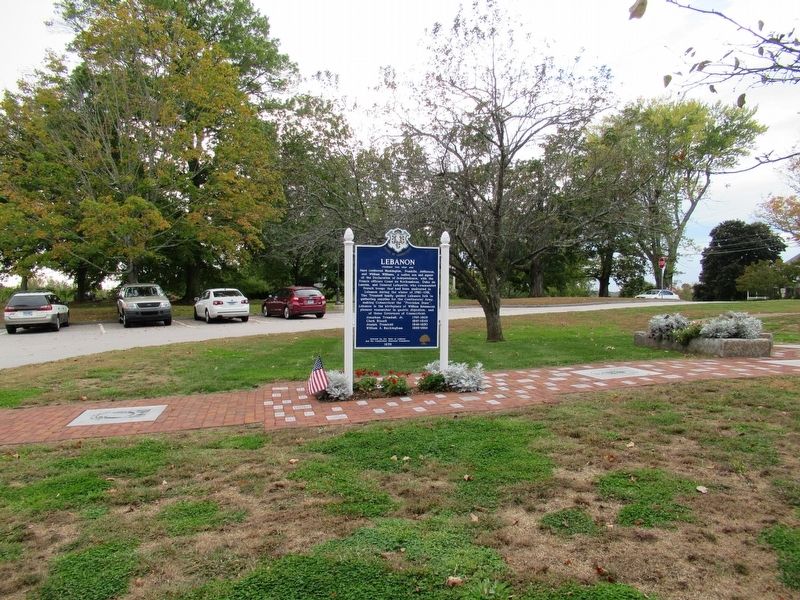
Location. 41° 38.136′ N, 72° 12.776′ W. Marker is in Lebanon in Southeastern Region, Connecticut. It is at the intersection of West Town Street and Exeter Road (Connecticut Route 207), on the right when traveling north on West Town Street. Located in Trumbull Park in front of Lebanon Town Hall. Touch for map. Marker is at or near this postal address: 579 Exeter Road, Lebanon CT 06249, United States of America. Touch for directions.

Regionally, this marker is on the Connecticut Shoreline, in Greater New London, in
Photographed by Michael Herrick, October 13, 2016
2. Lebanon Marker
Other nearby markers. At least 8 other markers are within walking distance of this marker: Lebanon Veterans Monument (a few steps from this marker); Lebanon Iraq Afghanistan Veterans Monument (within shouting distance of this marker); a different marker also named Lebanon Veterans Monument (within shouting distance of this marker); Founding of Lebanon, Connecticut (within shouting distance of this marker); Lebanon World War I – World War II Monument (within shouting distance of this marker); Old Lebanon Meeting House (within shouting distance of this marker); Liberty Hill Church Bell (about 300 feet away, measured in a direct line); Site of Lebanon War Office (about 400 feet away). Touch for a list and map of all markers in Lebanon.
Also see . . .
1. Town Of Lebanon.
Photographed by Michael Herrick, October 13, 2016
3. Lebanon Marker
2. Lebanon, Connecticut on Wikipedia. (Submitted on October 21, 2016, by Michael Herrick of Southbury, Connecticut.)
Credits. This page was last revised on May 19, 2026. It was originally submitted on October 21, 2016, by Michael Herrick of Southbury, Connecticut. This page has been viewed 1,014 times since then and 62 times this year. Last updated on May 25, 2025. Photos: 1, 2, 3. submitted on October 21, 2016, by Michael Herrick of Southbury, Connecticut. • Devry Becker Jones was the editor who published this page.
