Mountain Grove in Central Frontenac in Frontenac County, Ontario — Central Canada (North America)
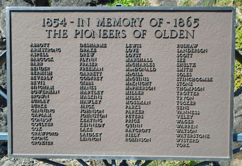
The Pioneers of Olden
1854 - In Memory of - 1865
Photographed by William Fischer, Jr., May 12, 2025
1. The Pioneers of Olden Marker
Abbott · Armstrong · Aspell · Babcock · Barr · Bender · Bermish · Beverly
Bevis · Bingham · Bowerman · Brown · Burley · Burke · Canning · Caplam
Conboy · Coulter · Cox · Crawford · Cronk · Crozier · Desharme · Drake
Drew · Flynn · Fraser · Freeman · Garrett · Godfrey · Gibbs · Hanes · Hartley
Haskins · Hawley · Jaick · Johnson · Johnston · Keating · Kennedy · Lake
Laidley · Lennon · Lewis · Love · Loyst · Marshall · McCharles · MacDonald
McGill · McGuinis · McKnight · McPherson · Miller · Mills · Mossman · Parks
Parker · Peters · Price · Quinn · Raycroft · Riely · Robinson · Rushaw
Sanderson · Scott · See · Shultz · Smith · Soles · Stinchcombe · Stone
Thompson · Trotter · Tryon · Tucker · Uens · Vanness · Veley · Wager
Warren · Watson · Waterstone · Wisterd · York
Topics. This historical marker is listed in these topic lists: Immigration • Settlements & Settlers. A significant historical year for this entry is 1854.
Location. 44° 44.158′ N, 76° 50.723′ W. Marker is in Central Frontenac, Ontario, in Frontenac County. It is in Mountain Grove. It is at the intersection of Mountain Grove Road and Brock Road/Ferguson
this page online

Regionally, this marker is in Eastern Ontario and specifically in Southeastern Ontario. It is also in Central Canada. Globally, it is in North America, on the Great Lakes, in the Western Hemisphere, in the Western World, and in the Anglosphere. Historically, it finds itself in what was once a British colony, the Viceroyalty of New France, the Haudenosaunee (Iroquois) Confederacy, and Rupert’s Land.
Other nearby markers. At least 8 other markers are within 13 kilometers of this marker, measured as the crow flies: War Memorial Cenotaph (within shouting distance of this marker); St. John's Anglican Cemetery (approx. 1.5 kilometers away); The Frontenac Road/
Photographed by William Fischer, Jr., May 12, 2025
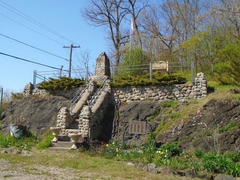
2. The Pioneers of Olden Marker
More about this marker. The marker was formerly mounted on the stone cairn at the top of the staircase, in Olden Pioneers Memorial Park.

Photographed by William Fischer, Jr., May 12, 2025
3. The Pioneers of Olden Cairn
Photographed by William Fischer, Jr., May 12, 2025
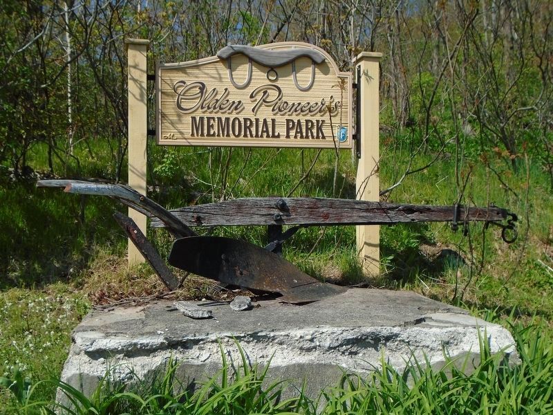
4. Olden Pioneers Memorial Park Sign and Plow
Credits. This page was last revised on May 27, 2025. It was originally submitted on May 26, 2025, by William Fischer, Jr. of Reynoldsburg, Ohio. This page has been viewed 140 times since then and 37 times this year. Photos: 1, 2. submitted on May 26, 2025, by William Fischer, Jr. of Reynoldsburg, Ohio. 3. submitted on May 27, 2025, by William Fischer, Jr. of Reynoldsburg, Ohio. 4. submitted on May 26, 2025, by William Fischer, Jr. of Reynoldsburg, Ohio.
