Union City in Obion County, Tennessee — The American South (East South Central)
The Rotary Pavilion
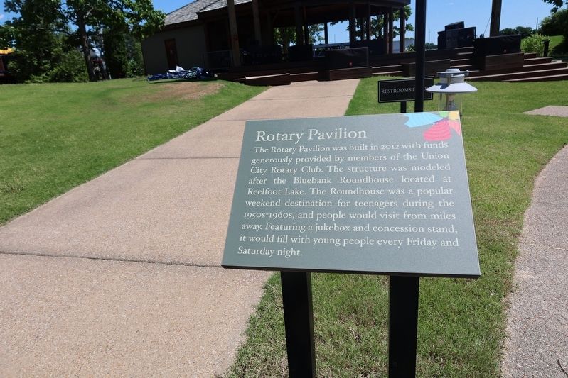
Photographed by Sandra Hughes Tidwell, May 21, 2025
1. The Rotary Pavilion Marker
Topics. This historical marker is listed in these topic lists: Entertainment • Parks & Recreational Areas. A significant historical year for this entry is 2012.
Location. 36° 26.213′ N, 89° 4.129′ W. Marker is in Union City, Tennessee, in Obion County. It is at the intersection of Graham Road and Welcome Circle on Graham Road. Touch for map. Marker is in this post office area: Union City TN 38261, United States of America. Touch for directions.

Regionally, this marker is in West Tennessee. It is also in the American South, specifically in the Deep South, in the Upper South, and in the Mississippi Delta. Globally, it is in North America, the Western Hemisphere, the Western World, and the
this page online
Other nearby markers. At least 8 other markers are within walking distance of this marker: Forrest's Rail (a few steps from this marker); 80-Pound Railroad Rail (a few steps from this marker); Reading the Rail (a few steps from this marker); The Depot (within shouting distance of this marker); Union City Junction (within shouting distance of this marker); Central Grammer School (about 300 feet away, measured in a direct line); Hobbs Drug Store (about 300 feet away); The Barber Shop (about 400 feet away). Touch for a list and map of all markers in Union City.
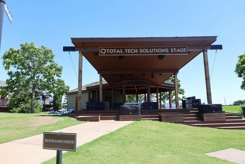
Photographed by Sandra Hughes Tidwell, May 21, 2025
2. The Rotary Pavilion Marker
Credits. This page was last revised on May 27, 2025. It was originally submitted on May 27, 2025, by Sandra Hughes Tidwell of Killen, Alabama, USA. This page has been viewed 108 times since then and 31 times this year. Photos: 1, 2. submitted on May 27, 2025, by Sandra Hughes Tidwell of Killen, Alabama, USA. • James Hulse was the editor who published this page.
