Mountain Grove in Central Frontenac in Frontenac County, Ontario — Central Canada (North America)
St. John's Anglican Cemetery

Photographed by William Fischer, Jr., May 12, 2025
1. St. John's Anglican Cemetery Marker
This cemetery land donated 1903
by Mr. & Mrs. W.S. Johnston
These gates donated 1966 by
John A. Johnston
Topics. This historical marker is listed in this topic list: Cemeteries & Burial Sites. A significant historical year for this entry is 1903.
Location. 44° 44.527′ N, 76° 49.696′ W. Marker is in Central Frontenac, Ontario, in Frontenac County. It is in Mountain Grove. It is on Frontenac Road just south of Ferguson Road, on the right when traveling south. Touch for map. Marker is in this post office area: Central Frontenac ON K0H 2E0, Canada. Touch for directions.

Regionally, this marker is in Eastern Ontario and specifically in Southeastern Ontario. It is also in Central Canada. Globally, it is in North America, on the Great Lakes, in the Western Hemisphere, in the Western World, and in the Anglosphere. Historically, it finds itself in what was once a British colony, the Viceroyalty of New France, the Haudenosaunee (Iroquois) Confederacy, and Rupert’s Land.
Other nearby markers. At least 8 other markers are within 11 kilometers of this marker, measured as the crow flies: The Frontenac Road/
this page online
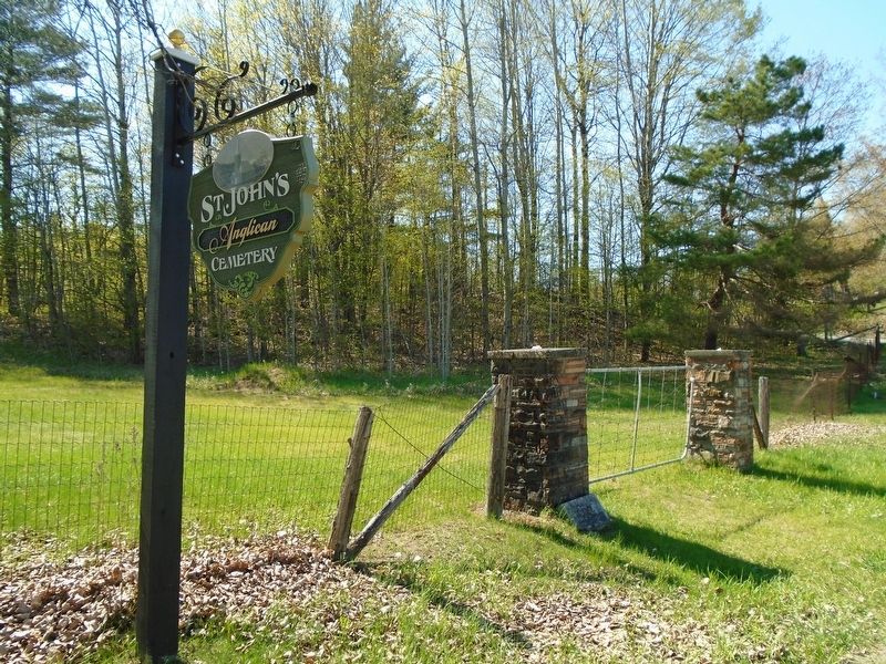
Photographed by William Fischer, Jr., May 12, 2025
2. St. John's Anglican Cemetery and Marker
Credits. This page was last revised on May 27, 2025. It was originally submitted on May 27, 2025, by William Fischer, Jr. of Reynoldsburg, Ohio. This page has been viewed 91 times since then and 14 times this year. Photos: 1, 2. submitted on May 27, 2025, by William Fischer, Jr. of Reynoldsburg, Ohio.
