Burlington in Halton Region, Ontario — Central Canada (North America)
Paletta Lakefront Park
City of Burlington
| — | Waterfront Trail | — |
Photographed by Tim Boyd, May 27, 2025
1. Paletta Lakefront Park Marker
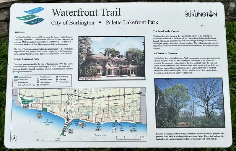
Welcome!
The Waterfront Trail stretches 350 km along the shore of Lake Ontario, connecting more than 28 communitites, 177 natural areas, 143 parks, 80 marinas, AND hundreds of historic places and festivals. The goal is a continuous 600 km trail from Niagara-on-the-Lake to Gananoque.
The City of Burlington acknowledges the contribution of the Waterfront Regeneration Trust toward the successful completion of the Burlington portion of the Waterfront Trail. See www.waterfronttrust.com for more.
Paletta Lakefront Park
This estate was purchased by the City of Burlington in 1990. The park's development and building restoration began in 2000. This work was completed in 2001 through significant support and contribution from the Burlington community.
The Jewel in the Crown
This beautiful park, known as the "jewel in the crown" of the Burlington waterfront, dates back to 1809 when King George II deeded the land to Laura Secord. It is a park rich in history with four heritage buildings and beautifully landscaped gardens set against cobbled beaches. Two bridge crossings connect the parkland to the west with the rich wetland
this page online
An Estate to Discover
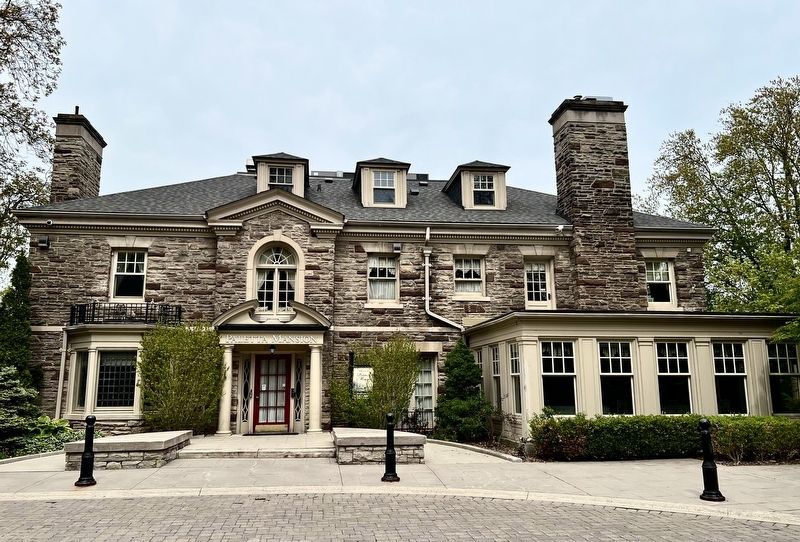
The Dofasco Shore Acres Discovery Walk meanders through the park connecting all of its features. Walk the trail and enjoy a view of the 1930s stone-clad mansion, the gardener's cottage built in the Arts and Craft style, the barn and stables where horses were kept until the 1960s and a unique heritage dollhouse. Wend your way past the waterfront and cross Shoreacres Creek to enter the valleylands where sensitive plant life and wildlife thrive. Just another bridge crossing and a short walk leads you back here.
Explore the many facets of this park from its manicured estate grounds and gardens to its natural settings and waterfront vistas. Enjoy this unique site that celebrates art and preserves the environment and our heritage.
Erected by City of Burlington.
Topics. This historical marker is listed in this topic list: Parks & Recreational Areas. A significant historical year for this entry is 1990.
Location. 43° 21.23′ N, 79° 45.232′ W. Marker is in Burlington, Ontario, in Halton Region. It is on Lakeshore Road one kilometer east of Walker’s Line, on the right when
Photographed by Tim Boyd, May 27, 2025
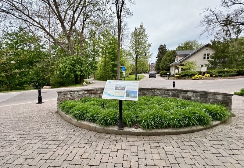
2. Paletta Lakefront Park Marker

Regionally, this marker is in Greater Toronto, specifically on the Golden Horseshoe, in the Hamilton-Halton-Brant Area, and specifically in the Toronto Metropolitan Area. It is also in Central Canada. Globally, it is in North America, on the Great Lakes, in the Western Hemisphere, in the Western World, and in the Anglosphere. Historically, it finds itself in what was once a British colony, the Viceroyalty of New France, the Haudenosaunee (Iroquois) Confederacy, and Rupert’s Land.
Other nearby markers. At least 8 other markers are within 5 kilometers of this marker, measured as the crow flies: Paletta Mansion (about 120 meters away, measured in a direct line); World Championship Wheat 1954 (approx. 0.9 kilometers away); Port Nelson (approx. 3 kilometers away); Knox Presbyterian Church (approx. 4.6 kilometers away); The Hamilton Radial Electric Railway (approx. 4.7 kilometers away); William Bunton Esq. 1820-1881 (approx. 4.8 kilometers away); 125th Anniversary Clock, 1999
Photographed by Tim Boyd, May 27, 2025
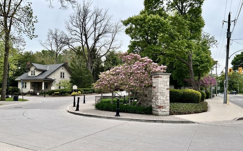
3. Entrance to Paletta Lakefront Park from Lakeshore Road (marker is visible at centre of photo)
Photographed by Tim Boyd, May 27, 2025
4. Paletta Mansion, 2025
Credits. This page was last revised on May 28, 2025. It was originally submitted on May 28, 2025, by Tim Boyd of Hamilton, Ontario. This page has been viewed 210 times since then and 63 times this year. Photos: 1, 2, 3, 4. submitted on May 28, 2025, by Tim Boyd of Hamilton, Ontario. • Andrew Ruppenstein was the editor who published this page.
