
Okehampton in Devon, England, United Kingdom — Northwestern Europe (the British Isles)
Okehampton
Photographed by Ray Gurganus, April 8, 2025
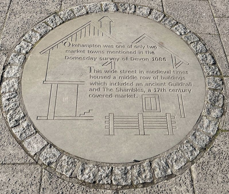
1. Okehampton Marker
This wide street in medieval times housed a middle row of buildings which included an ancient Guildhall and The Shambles, a 17th century covered market.
Topics. This historical marker is listed in these topic lists: Industry & Commerce • Roads & Vehicles. A significant historical year for this entry is 1086 CE.
Location. 50° 44.357′ N, 4° 0.137′ W. Marker is in Okehampton, England, in Devon. It is on Fore Street. Touch for map. Marker is at or near this postal address: 13A Fore Street, Okehampton, England EX20, United Kingdom. Touch for directions.

Regionally, this marker is in South West England. Globally, it is on the Atlantic Ocean, in the North Atlantic Region, in Europe, in Atlantic Europe, on one of the British Isles, in the Western World, and in the Anglosphere. Historically, it finds itself in what was once the Roman Empire.
Other nearby markers. At least 3 other markers are within walking distance of this marker: The White Hart Hotel (about 90 meters away, measured in a direct line); Two Rivers... and Two Bridges
this page online
Photographed by Ray Gurganus, April 8, 2025
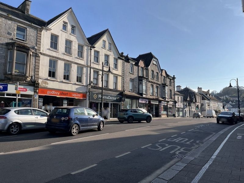
2. Fore Street, Okehampton
Photographed by John Valentine and Sons, circa 1905
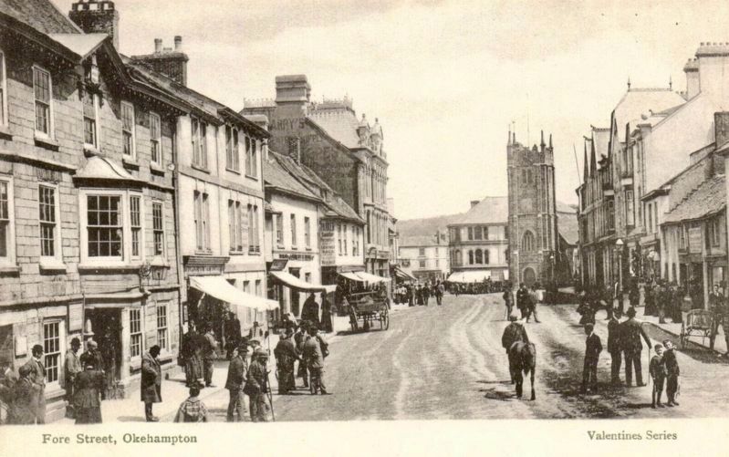
3. Fore Street, Okehampton
Credits. This page was last revised on May 28, 2025. It was originally submitted on May 28, 2025, by Ray Gurganus of Washington, District of Columbia. This page has been viewed 80 times since then and 7 times this year. Photos: 1, 2. submitted on May 28, 2025, by Ray Gurganus of Washington, District of Columbia. 3. submitted on May 28, 2025. • Andrew Ruppenstein was the editor who published this page.
Editor’s want-list for this marker. photo of the marker within its surroundings • Can you help?
