Evanston in Cook County, Illinois — The American Midwest (Great Lakes)
Sustainable Infrastructure
James Park Athletic Field
Photographed by Sean P. Flynn, May 25, 2025
1. Sustainable Infrastructure Marker
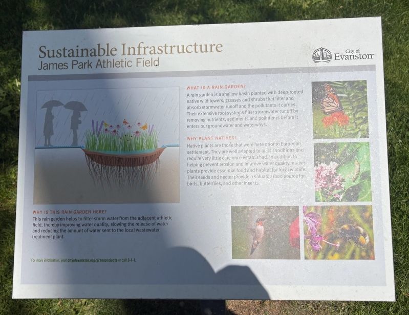
What is a rain garden?
A rain garden is a shallow basin planted with deep-rooted native wildflowers, grasses and shrubs that filter and absorb stormwater runoff and the pollutants it carries. Their extensive root systems filter stormwater runoff by removing nutrients, sediments and pollutants before it enters our groundwater and waterways.
Why plant natives?
Native plants are those that were here prior to European settlement. They are well adapted to local conditions and require very little care once established. In addition to helping prevent erosion and improve water quality, native plants provide essential food and habitat for local wildlife. Their seeds and nectar provide a valuable food source for birds, butterflies, and other insects.
Why is this rain garden here?
This rain garden helps to filter storm water from the adjacent athletic field, thereby improving water quality, slowing the release of water and reducing the amount of water sent to the local wastewater treatment plant.
Erected by City of Evanston.
Topics. This historical marker is listed in these topic lists: Animals • Environment
this page online
Location. 42° 1.58′ N, 87° 42.248′ W. Marker is in Evanston, Illinois, in Cook County. It is at the intersection of Oakton Street and Hartrey Avenue, on the right when traveling east on Oakton Street. The marker is on the northern edge of James Park, near baseball field 8. Touch for map. Marker is in this post office area: Evanston IL 60202, United States of America. Touch for directions.

Regionally, this marker is in Greater Chicago. It is also in the American Midwest. Globally, it is in North America, on the Great Lakes, in the Western Hemisphere, in the Western World, and in the Anglosphere. Historically, it finds itself in what was once the Viceroyalty of New France, the territory of the Mississippian Culture, and the Northwest Territory.
Other nearby markers. At least 8 other markers are within 2 miles of this marker, measured as the crow flies: Commemorative Trees (approx. 0.3 miles away); Native Plants (approx. 0.9 miles away); Site of First Log School (approx. 1.2 miles away); Indian Boundary Village (approx. 1.3 miles away); 1877 Keystone from City Hall Building
Photographed by Sean P. Flynn, May 25, 2025
2. Sustainable Infrastructure Marker
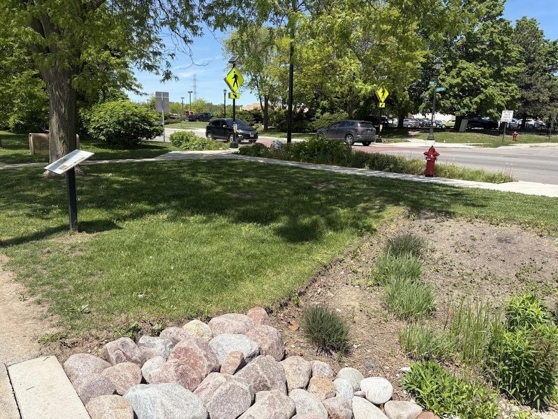
Oakton Street is in the rear.
More about this marker. A similar marker about permeable pavers shares some text with this one; it is located about two miles northeast of here on Hinman Avenue.
Photographed by Sean P. Flynn, May 25, 2025
3. Sustainable Infrastructure Marker
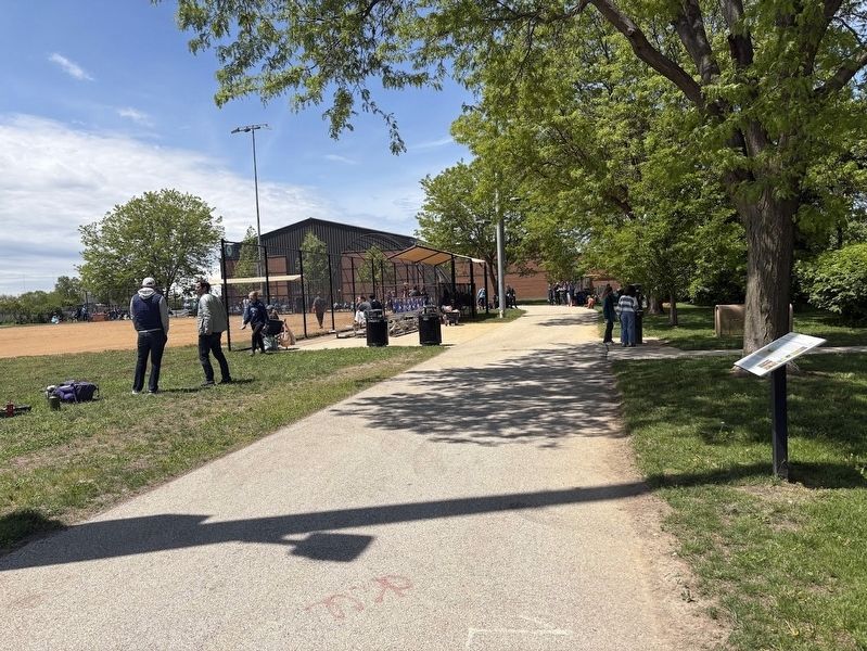
James Park's Field 8 is in the rear.
Credits. This page was last revised on May 28, 2025. It was originally submitted on May 28, 2025, by Sean P. Flynn of Oak Park, Illinois. This page has been viewed 83 times since then and 15 times this year. Photos: 1, 2, 3. submitted on May 28, 2025, by Sean P. Flynn of Oak Park, Illinois.
