Mackinaw City in Emmet County, Michigan — The American Midwest (Great Lakes)
Flags of Michilimackinac
Photographed by John Ridley, September 2, 2023
1. Flags of Michilimackinac Marker
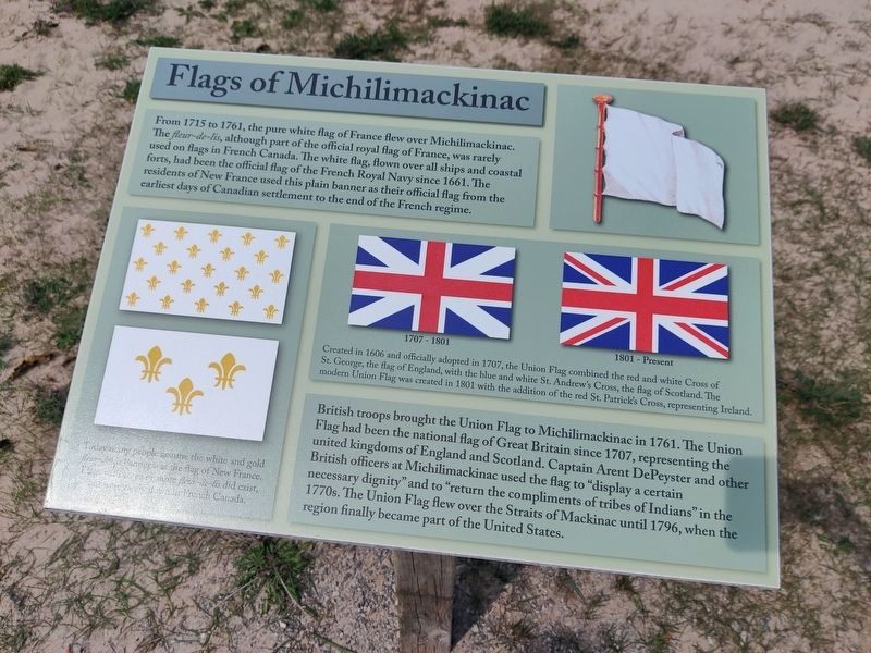
From 1715 to 1761, the pure white flag of France flew over Michilimackinac. The Fleur-de-lis, although part of the official royal flag of France, was rarely used on flags in French Canada. The white flag, flown over all ships and coastal forts, had been the official flag of the French Royal Navy since 1661. The residents of New France used this plain banner as their official flag from the earliest days of Canadian settlement to the end of the French regime.
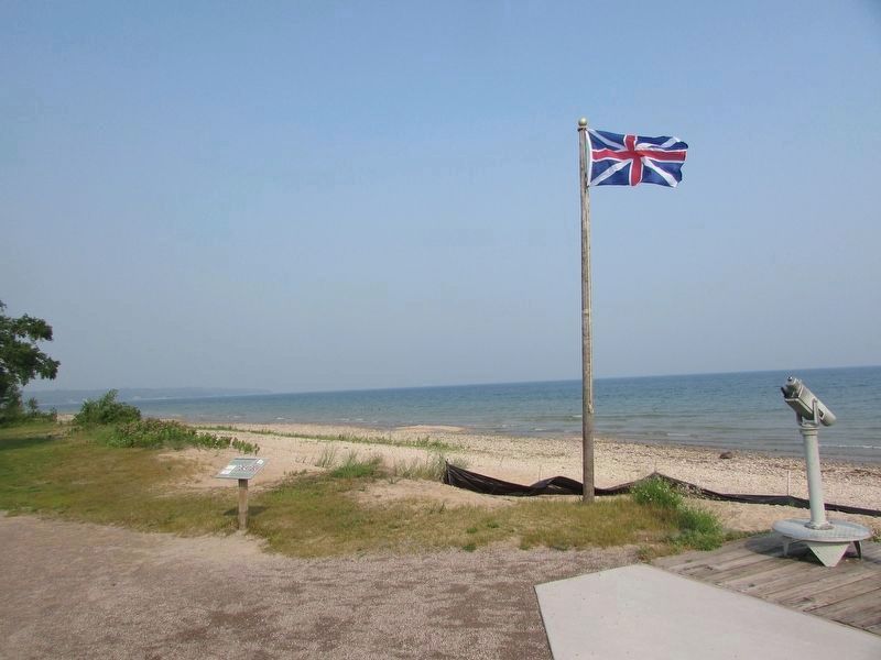
British troops brought the Union Flag to Michilimackinac in 1761. The Union Flag had been the national flag of Great Britain since 1707, representing the united kingdoms of England and Scotland. Captain Arent DePeyster and other British officers at Michilimackinac used the flag to "display a certain necessary dignity" and to "return the compliments of tribes of Indians" in the 1770s. The Union Flag flew over the Straits of Mackinac until 1796, when the region finally became part of the United States.
[Captions:]
Created in 1606 and officially adopted in 1707, the Union Flag combined the red and white Cross of St. George, the flag of England, with the blue and white St. Andew's Cross, the flag of Scotland. The modern Union Flag was created in 1801 with the addition of the red St. Patrick's Cross, representing Ireland.
Today many people assume the white and gold fleur-de-lis banner was the flag of New France. Flags with three or more fleur-de-lis did exist, but were not flown in French Canada.
Topics and series.
this page online
Location. 45° 47.281′ N, 84° 43.963′ W. Marker is in Mackinaw City, Michigan, in Emmet County. It is on North Huron Avenue. Touch for map. Marker is at or near this postal address: 800 N Huron Ave, Mackinaw City MI 49701, United States of America. Touch for directions.

Regionally, this marker is in Northern Michigan Lower Peninsula, on the Straits of Mackinac, and in one of the Lake Michigan Shore counties. It is also in the American Midwest. Globally, it is in North America, in the Great North Woods, on the Great Lakes, in the Western Hemisphere, in the Western World, and in the Anglosphere. Historically, it finds itself in what was once the Viceroyalty of New France and also the Northwest Territory.
Other nearby markers. At least 8 other markers are within walking distance of this marker: Crossroads of the Fur Trade (a few steps from this marker); Mackinac State Historic Parks
Photographed by Bill Coughlin, July 13, 2025
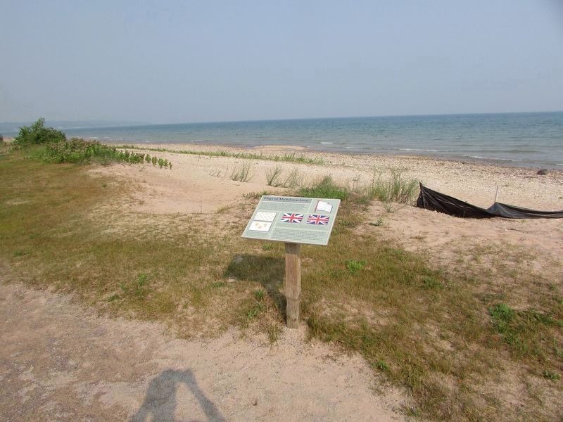
2. Flags of Michilimackinac Marker
Photographed by Bill Coughlin, July 13, 2025
3. Flags of Michilimackinac Marker
Photographed by Craig Doda, May 25, 2025
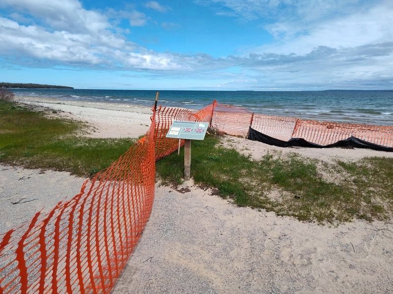
4. Flags of Michilimackinac Marker
Credits. This page was last revised on July 22, 2025. It was originally submitted on September 6, 2023, by John Ridley of Chelsea, Michigan. This page has been viewed 724 times since then and 65 times this year. Last updated on May 28, 2025, by Craig Doda of Napoleon, Ohio. Photos: 1. submitted on September 6, 2023, by John Ridley of Chelsea, Michigan. 2, 3. submitted on July 18, 2025, by Bill Coughlin of Woodland Park, New Jersey. 4. submitted on May 28, 2025, by Craig Doda of Napoleon, Ohio. • Devry Becker Jones was the editor who published this page.
