Rio Grande in Salt Lake City in Salt Lake County, Utah — The American Mountains (Southwest)
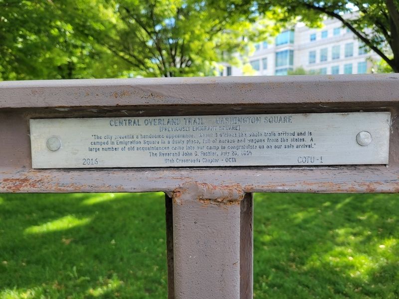
Central Overland Trail - Washington Square
[Previously Emigrant Square]
Photographed by Jeremy Snow, May 19, 2025
1. Central Overland Trail - Washington Square Marker
"The city presents a handsome appearance. About 9 o'clock the whole train arrived and is camped in Emigration Square in a dusty place, full of horses and wagons from the states. A large number of old acquaintances came into our camp to congratulate us on our safe arrival."
The Reverend John G. Fackler, July 28, 1864
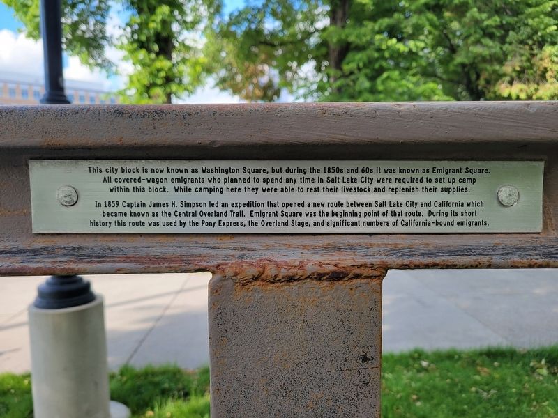
The city block now known as Washington Square, but during the 1850s and 60s it was known as Emigrant Square. All covered-wagon emigrants who planned to spend any time in Salt Lake City were required to set up camp within this block. While camping here they were able to rest their livestock and replenish their supplies.
In 1859 Captain James H. Simpson led an expedition that opened a new route between Salt Lake City and California which became known as the Central Overland Trail. Emigrant Square was the beginning point of that route. During its short history this route was used by the Pony Express, the Overland Stage, and significant numbers of California-bound emigrants.
Erected 2016 by Oregon-California Trails Association. (Marker Number COTU-1.)
Topics and series. This historical marker
this page online
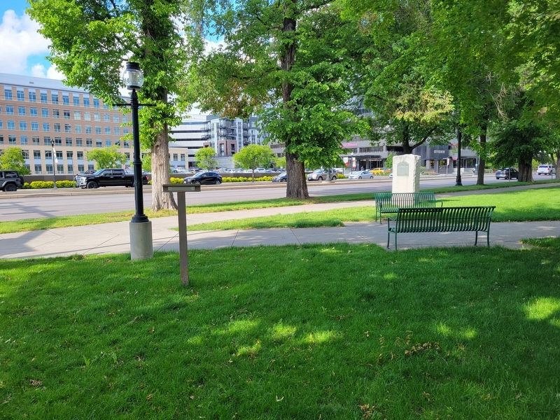
Location. 40° 45.622′ N, 111° 53.277′ W. Marker is in Salt Lake City, Utah, in Salt Lake County. It is in Rio Grande. It is on State Street, on the right when traveling north. Touch for map. Marker is at or near this postal address: 421 State Street, Salt Lake City UT 84111, United States of America. Touch for directions.

Regionally, this marker is in the Wasatch Front and in Greater Salt Lake. It is also in the American Mountain West and on the Colorado Plateau. Globally, it is in North America, the Rocky Mountains, the Western Hemisphere, the Western World, and the Anglosphere. Historically, it finds itself in what was once New Spain and also Mexico’s Alta California.
Other nearby markers. At least 8 other markers are within walking distance of this marker: Pioneer Camping Grounds (a few steps from this marker); Salt Lake City and County Building (about 300 feet away, measured in a direct line); a different marker also named Salt Lake City and County Building (about
Photographed by Jeremy Snow, May 19, 2025
2. Central Overland Trail - Washington Square Marker Side 2
Other markers no longer nearby. Salt Lake City & County Building (was about 600 feet away but has been confirmed missing); Salt Lake Stock & Mining Exchange Building (was about 600 feet away but has been confirmed missing).
Photographed by Jeremy Snow, May 19, 2025
3. Central Overland Trail - Washington Square Marker
Credits. This page was last revised on May 29, 2025. It was originally submitted on May 28, 2025, by Jeremy Snow of Cedar City, Utah. This page has been viewed 173 times since then and 30 times this year. Photos: 1, 2, 3. submitted on May 28, 2025, by Jeremy Snow of Cedar City, Utah. • Andrew Ruppenstein was the editor who published this page.
