Cheboygan in Cheboygan County, Michigan — The American Midwest (Great Lakes)
Inland Waterway
Michigan's boating highway

Photographed by Craig Doda, May 25, 2025
1. Inland Waterway Marker
The inland waterway is a series of interconnected lakes and rivers stretching more than 38 miles from Lake Huron to Crooked Lake. Before modern settlement, the inland waterway was utilized by Native American tribes as a method to communicate and trade. European traders used the same route for gathering pelts and trading with the tribes.
After settlement, the primary use for the route was moving logs and supplies to local mills. During the early 1900s, the route was highlighted for tourism. Passenger boats took vacationers all along the waterway, including trips to Mackinac Island and Bois Blanc Island.
Today, the inland waterway is used primarily for recreation purposes. The waterway winds through wetlands full of wildlife, and several communities that offer a variety of amenities all within walking distance of local dockage. Staying overnight or day travel is a convenient, popular and pleasurable experience along the inland waterway.
[Captions:]
Cheboygan State Park on Lake Huron features hiking trails, scenic vistas, coastal wetlands and rare wildflowers Modem campsites, rustic cabins and teepees are available.
Aloha State Park offers 285 modem camping sites on Mullett Lake. Anglers fishing Mullett Lake will find walleye, smallmouth bass, northern pike, yellow perch and brown trout.
Michigan Fisheries Visitor Center offers free daily tours of the Oden State Fish Hatchery. Accessible walking trails, stream viewing chamber and historic train car are all within walking distance from the shores of Crooked Lake.
Burt Lake State Park features more than 2,000 feet of sandy beach and 306 modem campsites. One of Michigan's oldest state parks, Burt Lake sits in the middle of the inland waterway.
Navigational Note:
Water flows from Crooked Lake to the Cheboygan River and into Lake Huron Keep the red channel markers to your close right when going up stream and the black channel markers to your close right when going down stream.
Erected by Michigan
this page online
Topics. This historical marker is listed in these topic lists: Settlements & Settlers • Waterways & Vessels.
Location. 45° 38.178′ N, 84° 29.22′ W. Marker is in Cheboygan, Michigan, in Cheboygan County. It is at the intersection of South Western Avenue and Taylor Street, on the right when traveling north on South Western Avenue. Touch for map. Marker is at or near this postal address: 948 S Western Ave, Cheboygan MI 49721, United States of America. Touch for directions.

Regionally, this marker is in Northern Michigan Lower Peninsula, on the Straits of Mackinac, and in one of the Lake Huron Shore counties. It is also in the American Midwest. Globally, it is in North America, in the Great North Woods, on the Great Lakes, in the Western Hemisphere, in the Western World, and in the Anglosphere. Historically, it finds itself in what was once the Northwest Territory.
Other nearby markers. At least 8 other markers are within walking distance of this marker: North Central State Trail (a few steps from this marker); Jacob J. Post House (approx. 0.2 miles away); Gold Star Families
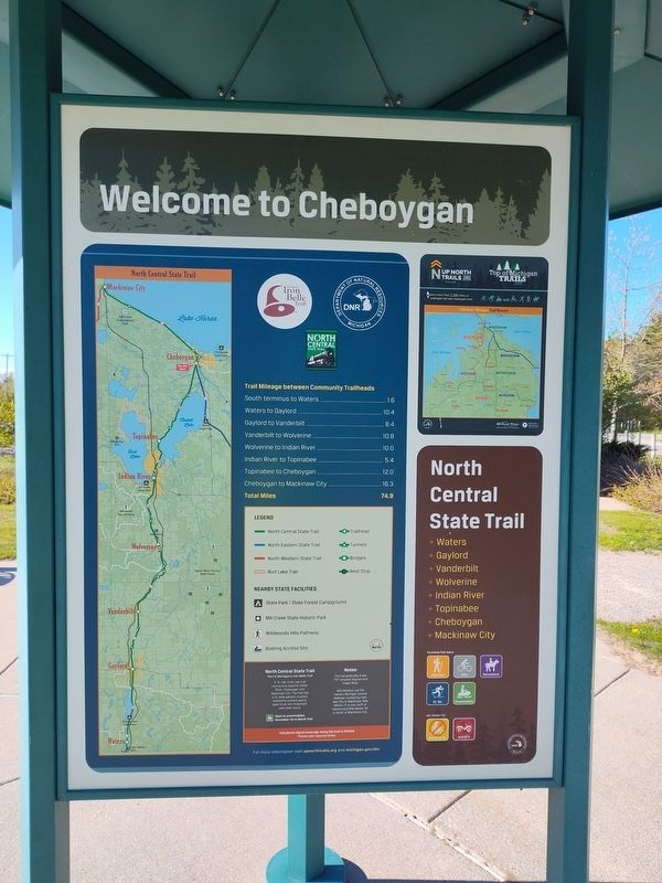
Photographed by Craig Doda, May 25, 2025
2. Inland Waterway Marker
Photographed by Craig Doda, May 25, 2025
3. Inland Waterway Marker
Photographed by Craig Doda, May 25, 2025
4. Inland Waterway Marker
Credits. This page was last revised on May 29, 2025. It was originally submitted on May 29, 2025, by Craig Doda of Napoleon, Ohio. This page has been viewed 166 times since then and 29 times this year. Photos: 1, 2, 3, 4. submitted on May 29, 2025, by Craig Doda of Napoleon, Ohio. • Devry Becker Jones was the editor who published this page.
