Carmel in Mansfield in De Soto Parish, Louisiana — The American South (West South Central)
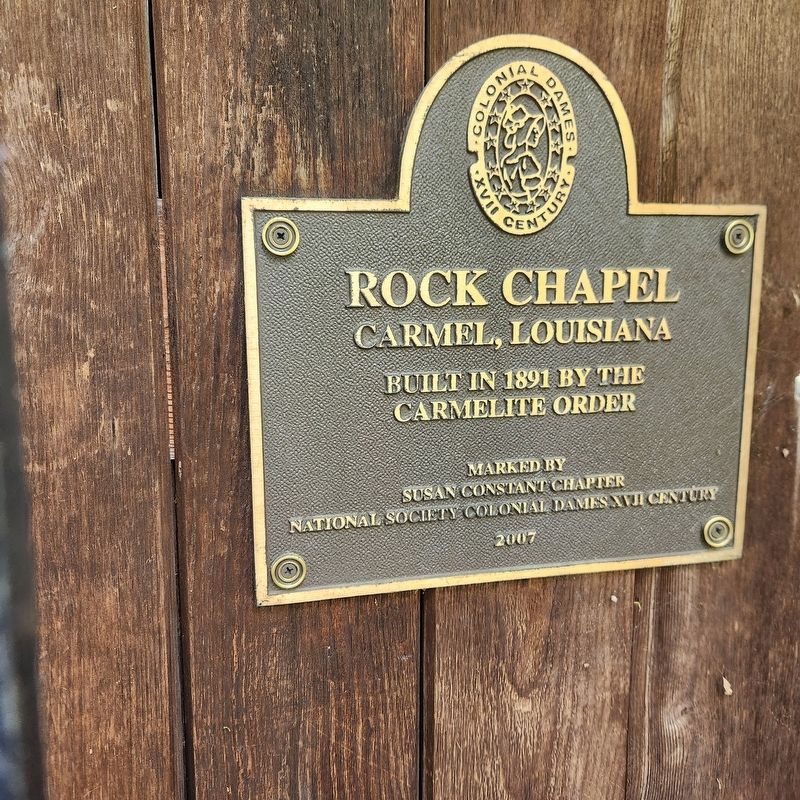
Rock Chapel
Carmel, Louisiana
Photographed by Cajun Scrambler, May 29, 2025
1. Rock Chapel Marker
Built in 1891 by the Carmelite Order
Erected 2007 by Susan Constant Chapter National Society Colonial Dames XVII Century.
Topics and series. This historical marker is listed in these topic lists: Cemeteries & Burial Sites • Religion & Religious Structures. In addition, it is included in the The Colonial Dames XVII Century, National Society series list.
Location. 32° 5.771′ N, 93° 36.56′ W. Marker is in Mansfield, Louisiana, in De Soto Parish. It is in Carmel. It can be reached from Unnamed drive 0.4 miles north of Smithport Lake Road. Touch for map. Marker is in this post office area: Mansfield LA 71052, United States of America. Touch for directions.

Regionally, this marker is in North Louisiana. It is also in the American South, specifically in the Deep South, and in the Piney Woods. Globally, it is in North America, a Gulf of Mexico state, the Western Hemisphere, the Western World, and the Anglosphere. Historically, it finds itself in what was once the territory of the Mississippian Culture, the Louisiana Purchase, one of the Confederate States
this page online
Other nearby markers. At least 8 other markers are within 7 miles of this marker, measured as the crow flies: Church of the Holy Apostles (approx. 0.4 miles away); Paul Boüet Laffitte (approx. 0.4 miles away); Battle of Mansfield or Sabine Cross Roads (approx. 6.7 miles away); Louisiana Monument (approx. 6.7 miles away); Texas Monument (approx. 6.8 miles away); In Memory of Lieut. Colonel Franklin H. Clack. C.S.A. (approx. 6.8 miles away); Capt. Elijah Parsons Petty (approx. 6.8 miles away); Battle of Mansfield or Sabine Cross Roads (approx. 6.8 miles away). Touch for a list and map of all markers in Mansfield.
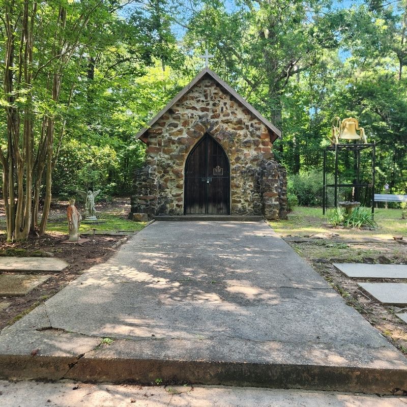
Regarding Rock Chapel. Located about a quarter mile off Smithport Lake Rd. along an unmarked drive. Have to cross a small foot bridge to access Chapel.
Photographed by Cajun Scrambler, May 29, 2025
2. Rock Chapel Marker
Marker mounted on front door.
Credits. This page was last revised on May 30, 2025. It was originally submitted on May 30, 2025, by Cajun Scrambler of Assumption, Louisiana. This page has been viewed 327 times since then and 116 times this year. Photos: 1, 2. submitted on May 30, 2025, by Cajun Scrambler of Assumption, Louisiana.
