Near Benedict in Charles County, Maryland — The American Northeast (Mid-Atlantic)
Camp Stanton
Training Ground for Equality
Photographed by Shane Oliver, January 7, 2023
1. Camp Stanton Marker
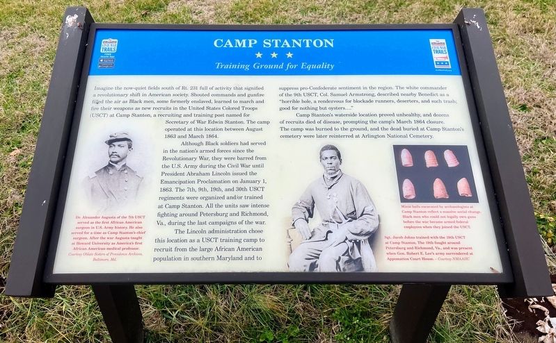
Imagine the now-quiet fields south of Rt. 231 full of activity that signified a revolutionary shift in American society. Shouted commands and gunfire filled the air as Black men, some formerly enslaved, learned to march and fire their weapons as new recruits in the United States Colored Troops (USCT) at Camp Stanton, a recruiting and training post named for Secretary of War Edwin Stanton. The camp operated at this location between August 1863 and March 1864.
Although Black soldiers had served in the nation's armed forces since the Revolutionary war, they were barred from the U.S. Army during the Civil War until President Abraham Lincoln issued the Emancipation Proclamation on January 1, 1863. The 7th, 9th, 19th, and 30th USCT regiments were organized and/or trained at Camp Stanton. All the units saw intense fighting around Petersburg and Richmond, Va., during the last campaigns of the war.
The Lincoln administration chose this location as a USCT training camp to recruit from the large African American population in southern Maryland and to suppress pro-Confederate sentiment in the region. The white commander of
this page online
Camp Stanton's waterside location proved unhealthy, and dozens of recruits died of disease, prompting the camp's March 1864 closure. The camp was burned to the ground, and the dead buried at Camp Stanton's cemetery were later reinterred at Arlington National Cemetery.
(captions)
Dr. Alexander Augusta of the 7th USCT served as the first African American surgeon in U.S. Army history. He also served for a time as camp Stanton's chief surgeon. After the war Augusta taught at Howard University as America's first African American medical professor. Courtesy Oblate Sisters of Providence Archives, Baltimore, Md.
Minié balls excavated by archaeologists at Camp Stanton reflect a massive social change. Black men who could not legally own guns before the war became armed federal employees when they joined the USCT.
Sgt. Jacob Johns trained with the 19th USCT at Camp Stanton. The 19th fought around Petersburg and Richmond, Va., and was present when Gen. Robert E. Lee's army surrendered at Appomattox Court House. - Courtesy NMAAHC
Erected 2021
Photographed by Shane Oliver, January 4, 2023
2. Camp Stanton Marker
Topics and series. This historical marker is listed in these topic lists: African Americans • War, US Civil. In addition, it is included in the Maryland Civil War Trails series list. A significant historical date for this entry is January 1, 1863.
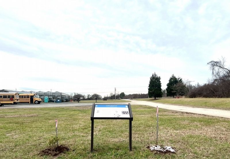
Location. 38° 31.049′ N, 76° 41.437′ W. Marker is near Benedict, Maryland, in Charles County. It is at the intersection of Serenity Farm Road and Prince Frederick Road (Maryland Route 231), on the right when traveling north on Serenity Farm Road. Marker is located on the grounds of Serenity Farm, an active working farm which hosts events year-round. Touch for map. Marker is at or near this postal address: 6932 Serenity Farm Rd, Benedict MD 20612, United States of America. Touch for directions.

Regionally, this marker is in the Washington Metropolitan Area and in Southern Maryland. It is also in the American South, specifically in the Upper South, in the Mid-Atlantic, in the Tidewater, and on the Eastern Seaboard. Globally, it is in the North Atlantic Region, North America, the Western Hemisphere, the Western World, and the Anglosphere. Historically, it finds
Photographed by Shane Oliver, January 4, 2023
3. Site of Camp Stanton at Serenity Farms
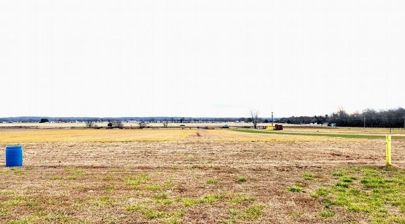
View is towards the Patuxent River and the town of Benedict. Nothing remains of the site of Camp Stanton.
Other nearby markers. At least 8 other markers are within 2 miles of this marker, measured as the crow flies: On This Farm (within shouting distance of this marker); Enemy Camp (within shouting distance of this marker); Solid Ground (about 800 feet away, measured in a direct line); a different marker also named Camp Stanton (approx. 0.6 miles away); Benedict (approx. 0.6 miles away); British Have Landed (approx. 0.8 miles away); The British are Coming (approx. 0.8 miles away); War of 1812 (approx. 1.3 miles away). Touch for a list and map of all markers in Benedict.
Another marker is no longer nearby. Camp Stanton (was approx. one mile away but has been confirmed missing).
Related marker. Click here for another marker that is related to this marker. Old Marker Near This Location also titled “Camp Stanton"
Also see . . . New Sign Marks Civil War Training Ground Camp Stanton. Southern Maryland News (SoMDNews) article regarding the dedication of the new Maryland Civil War Trails marker. (Submitted on January 27, 2023, by Shane Oliver of Richmond, Virginia.)
Credits. This page was last revised on June 1, 2025. It was originally submitted on January 27, 2023, by Shane Oliver of Richmond, Virginia. This page has been viewed 720 times since then and 97 times this year. Last updated on May 31, 2025, by Carl Gordon Moore Jr. of North East, Maryland. Photos: 1, 2, 3. submitted on January 27, 2023, by Shane Oliver of Richmond, Virginia. • Devry Becker Jones was the editor who published this page.
