Wardsville in Middlesex County, Ontario — Central Canada (North America)
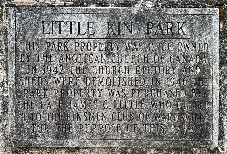
Little Kin Park
Photographed by Tim Boyd, May 30, 2025
1. Little Kin Park Marker
Topics. This historical marker is listed in these topic lists: Fraternal or Sororal Organizations • Parks & Recreational Areas • Religion & Religious Structures. A significant historical year for this entry is 1942.
Location. 42° 39.409′ N, 81° 45.345′ W. Marker is in Wardsville, Ontario, in Middlesex County. It is at the intersection of Church Street and Wellington Street, on the right when traveling east on Church Street. Touch for map. Marker is at or near this postal address: 210 Church Street, Wardsville ON N0L 2N0, Canada. Touch for directions.

Regionally, this marker is in the Southwest Ontario Area and in Southwestern Ontario. It is also in Central Canada. Globally, it is in North America, the Western Hemisphere, the Western World, and the Anglosphere. Historically, it finds itself in what was once a British colony, the
this page online
Other nearby markers. At least 8 other markers are within 6 kilometers of this marker, measured as the crow flies: Wardsville War Memorial (here, next to this marker); Newbury Old Town/Fire Hall (approx. 4.6 kilometers away); The Founding of Newbury (approx. 4.7 kilometers away); Newbury C.N. Station (approx. 4.7 kilometers away); W. Bayne Library (approx. 4.7 kilometers away); Newbury Cenotaph (approx. 4.7 kilometers away); Battle Hill (approx. 5.8 kilometers away); Battle of Longwoods (approx. 5.8 kilometers away).
Also see . . . The History of St. James Anglican Church and Cemetery (Glencoe & District Historical Society).
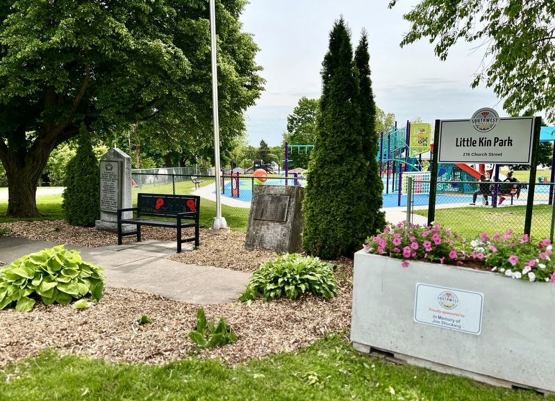
Lots 18 and 19, south of Church Street, were obtained by the Church Society of the Diocese of Toronto by a Bargain and Sale agreement with William Hatelie, et al, on August 22, 1849. This was a year or two after a wooden framed church building had already been constructed on the lot. This is known from a letter penned by Bishop Strachan on May 8, 1848, to Hatelie and the Churchwardens of the Church of Wardsville.(Submitted on May 31, 2025, by Tim Boyd of Hamilton, Ontario.)He wrote, gentlemen: I have the honour to acknowledge your Memorial of the 2nd instant, in which you state that you have erected a church at Wardsville, Township of Mosa at considerable expense, but that since the erection of said building, you have only had divine service in it every third Sunday.Photographed by Tim Boyd, May 30, 20252. Little Kin Park Marker
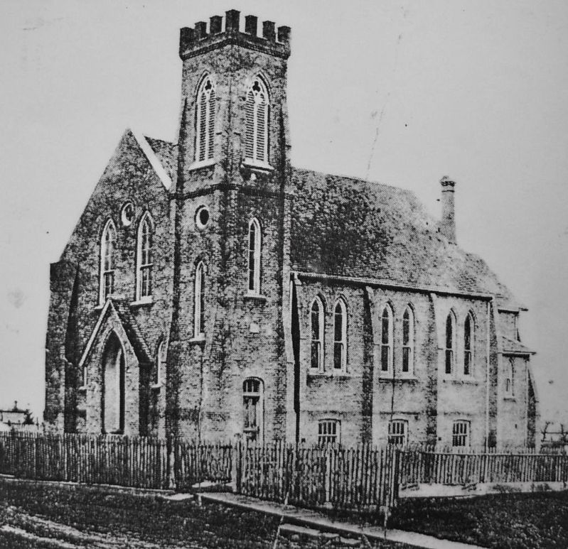
3. Former St. James Anglican Church, Wardsville
Source: Glencoe and District Historic Society (public domain)
Photographed by Tim Boyd, May 30, 2025
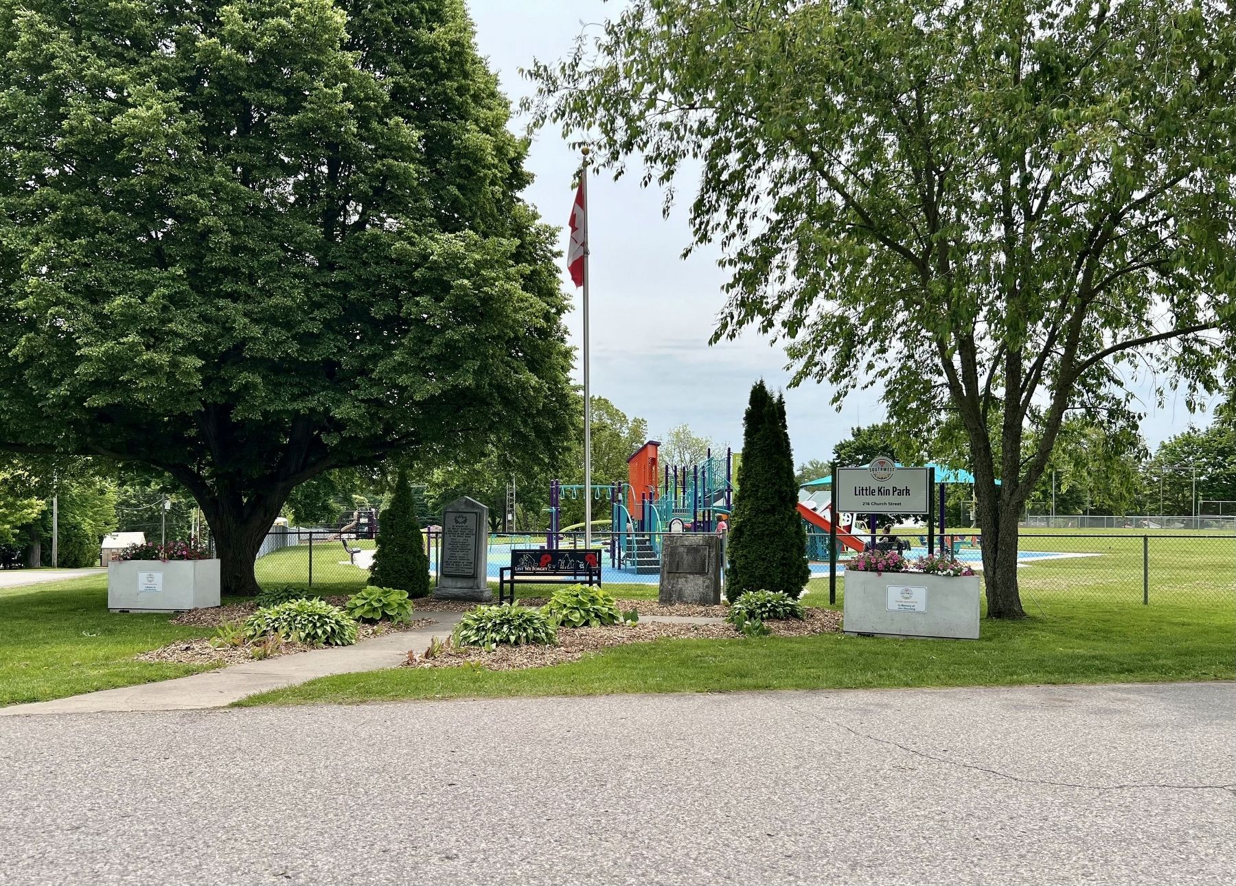
4. Little Kin Park, 2025
Credits. This page was last revised on May 31, 2025. It was originally submitted on May 31, 2025, by Tim Boyd of Hamilton, Ontario. This page has been viewed 88 times since then and 13 times this year. Photos: 1, 2, 3, 4. submitted on May 31, 2025, by Tim Boyd of Hamilton, Ontario. • Andrew Ruppenstein was the editor who published this page.
