Newbury in Middlesex County, Ontario — Central Canada (North America)
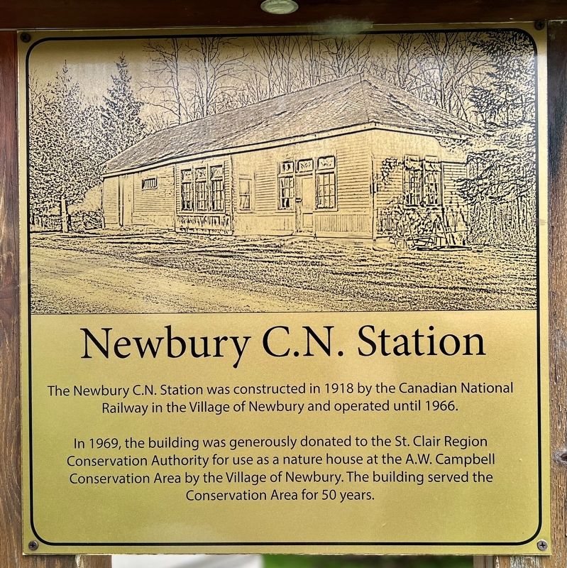
Newbury C.N. Station
Photographed by Tim Boyd, May 30, 2025
1. Newbury C.N. Station Marker
The Newbury C.N. Station was constructed in 1918 by the Canadian National Railway in the Village of Newbury and operated until 1966.
In 1969, the building was generously donated to the St. Clair Region Conservation Authority for use as a nature house at the A.W. Campbell Conservation Area by the Village of Newbury. The building served the Conservation Area for 50 years.
Topics. This historical marker is listed in these topic lists: Parks & Recreational Areas • Railroads & Streetcars. A significant historical year for this entry is 1918.
Location. 42° 41.062′ N, 81° 47.915′ W. Marker is in Newbury, Ontario, in Middlesex County. It is on Hagerty Road 0.1 kilometers north of Queen Street, on the right when traveling north. The marker is in front the of W. Bayne Library. Touch for map. Marker is at or near this postal address: 22894 Hagerty Road, Newbury ON N0L 1Z0, Canada. Touch for directions.

Regionally, this marker is in the Southwest Ontario Area and in Southwestern Ontario. It is also in Central Canada. Globally, it is in North America, the Western Hemisphere, the Western World, and the Anglosphere.
this page online
Other nearby markers. At least 8 other markers are within 8 kilometers of this marker, measured as the crow flies: W. Bayne Library (here, next to this marker); The Founding of Newbury (here, next to this marker); Newbury Cenotaph (a few steps from this marker); Newbury Old Town/Fire Hall (within shouting distance of this marker); Little Kin Park (approx. 4.7 kilometers away); Wardsville War Memorial (approx. 4.7 kilometers away); Battle Hill (approx. 7.7 kilometers away); Battle of Longwoods (approx. 7.7 kilometers away). Touch for a list and map of all markers in Newbury.
Photographed by Tim Boyd, May 30, 2025
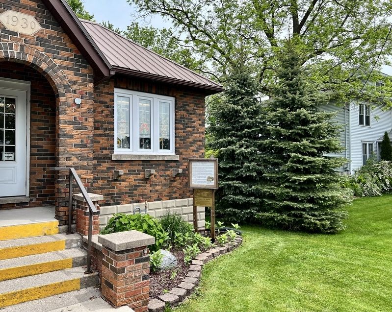
2. Newbury C.N. Station Marker (directly below the white marker)
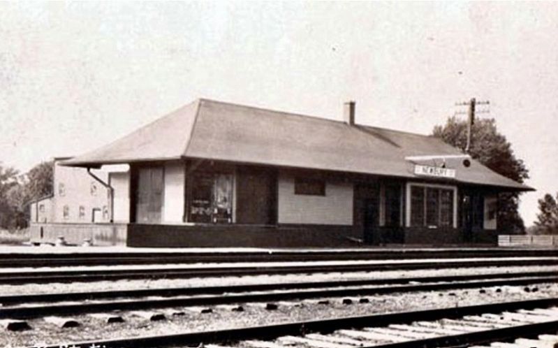
circa 1920
3. Newbury C.N. Station, c. 1920
Source: Ontario Railroad Stations (public domain)
Photographed by Tim Boyd, May 30, 2025
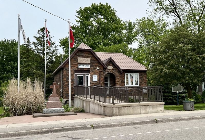
4. Newbury C.N. Station Marker
At the lower right of the building
Credits. This page was last revised on June 1, 2025. It was originally submitted on May 31, 2025, by Tim Boyd of Hamilton, Ontario. This page has been viewed 81 times since then and 11 times this year. Photos: 1, 2, 3, 4. submitted on May 31, 2025, by Tim Boyd of Hamilton, Ontario. • Andrew Ruppenstein was the editor who published this page.
