Kennesaw in Cobb County, Georgia — The American South (South Atlantic)
Clash at Kennesaw
Kennesaw Mountain National Battlefield Park
| — | National Park Service | — |
Courtesy of Thomas P. Martin, February 16, 2017
1. Clash at Kennesaw Marker
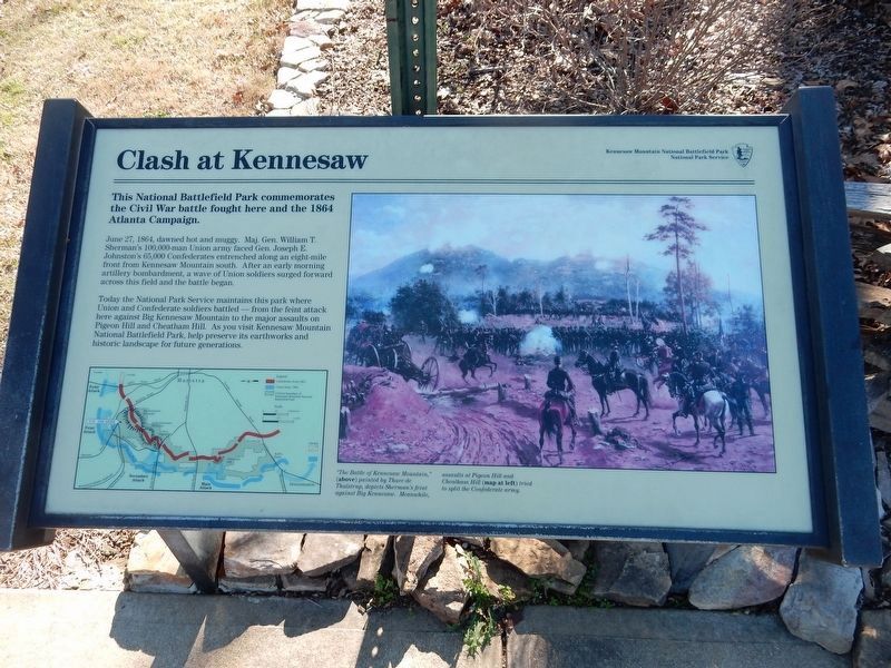
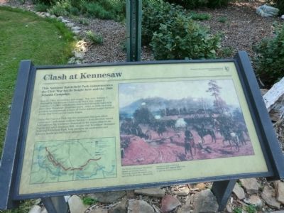
This National Battlefield Park commemorates the Civil War battle fought here and the 1864 Atlanta Campaign.
June 27, 1864, dawned hot and muggy. Maj. Gen. William T. Sherman’s 100,000-man Union army faced Gen. Joseph E. Johnston’s 65,000 Confederates entrenched along an eight mile front from Kennesaw Mountain south. After an early morning artillery bombardment, a wave of Union solders surged forward across this field and the battle began.
Today the National Park Service maintains this park where Union and Confederate soldiers battled—from the feint attack here against Big Kennesaw Mountain to the major assaults on Pigeon Hill and Cheatham Hill. As you visit Kennesaw Mountain National Battlefield Park, help preserve its earthworks and historic landscape for future generations.
[Caption:]
“The Battle of Kennesaw Mountain,” (above) painted by Thure de Thulstrup, depicts Sherman’s feint against Big Kennesaw. Meanwhile assaults at Pigeon Hill and Cheatham Hill (map at left) tried to split the Confederate army.
Erected by National Park Service, U.S. Department of the Interior.
Topics. This historical marker
this page online
Location. This marker has been replaced by another marker nearby. It was located near 33° 58.993′ N, 84° 34.701′ W. Marker was in Kennesaw, Georgia, in Cobb County. It could be reached from the intersection of Kennesaw Mountain Drive Northwest and Stilesboro Road Northwest, on the right when traveling west. Marker is located in front of the Kennesaw Mountain National Battlefield Park Visitor Center. Touch for map. Marker was at or near this postal address: 900 Kennesaw Mountain Drive, Kennesaw GA 30152, United States of America. Touch for directions.

Regionally, this marker was in Georgia’s Piedmont and in Metro Atlanta. It was also in the American South and specifically in the Deep South. Globally, it was in North America, the Western Hemisphere, the Western World, and the Anglosphere. Historically, it found itself in what was once the original Cherokee Nation, the territory of the Mississippian Culture, one of the original Thirteen Colonies, one of the Confederate States of America, and the Antebellum South.
Other nearby markers. At
Photographed by Don Morfe, September 19, 2013
2. Clash at Kennesaw Marker
Related marker. Click here for another marker that is related to this marker. New Marker At This Location also titled "Clash at Kennesaw".
Also see . . . Kennesaw Mountain National Battlefield Park. (Submitted on November 9, 2013.)
Photographed by Don Morfe, September 19, 2013
3. Clash at Kennesaw Marker
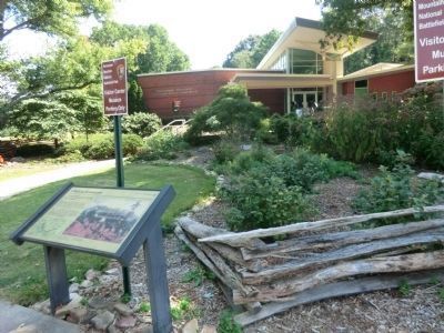
Visitor Center shown in the background
Photographed by Don Morfe, September 19, 2013
4. Clash at Kennesaw Marker
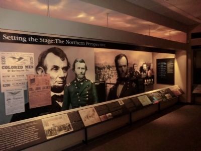
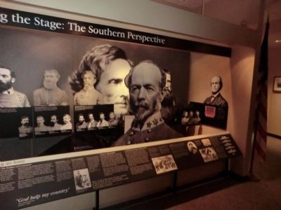
Photo taken inside the Visitor Center
Photographed by Don Morfe, September 19, 2013
5. Clash at Kennesaw Marker
Photo taken inside the Visitor Center
Credits. This page was last revised on June 2, 2025. It was originally submitted on November 8, 2013, by Don Morfe of Baltimore, Maryland. This page has been viewed 1,574 times since then and 57 times this year. Last updated on May 31, 2025, by Mark Parker of Hickory, North Carolina. Photos: 1. submitted on April 29, 2022, by Duane and Tracy Marsteller of Murfreesboro, Tennessee. 2, 3, 4, 5. submitted on November 8, 2013, by Don Morfe of Baltimore, Maryland. • Devry Becker Jones was the editor who published this page.
