Elkhorn in Omaha in Douglas County, Nebraska — The American Midwest (Upper Plains)
The Lincoln Highway at Elkhorn
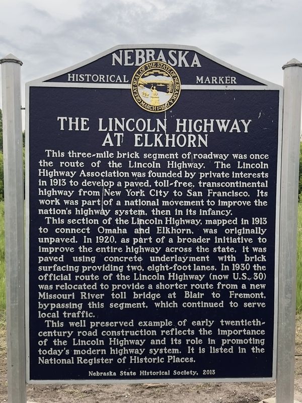
Photographed by Declan M Martin, June 2, 2025
1. The Lincoln Highway at Elkhorn Marker
This three-mile brick segment of roadway was once the route of the Lincoln Highway. The Lincoln Highway Association was founded by private interests in 1913 to develop a paved, toll-free, transcontinental highway from New York City to San Francisco. Its work was part of a national movement to improve the nation's highway system, then in its infancy.
This section of the Lincoln Highway, mapped in 1913 to connect Omaha and Elkhorn, was originally unpaved. In 1920, as part of a broader initiative to improve the entire highway across the state, it was paved using concrete underlayment with brick surfacing providing two, eight-foot lanes. In 1930 the official route of the Lincoln Highway (now U.S. 30) was relocated to provide a shorter route from a new Missouri River toll bridge at Blair to Fremont, bypassing this segment, which continued to serve local traffic.
This well preserved example of early twentieth-century road construction reflects the importance of the Lincoln Highway and its role in promoting today's modern highway system. It is listed in the National Register of Historic Places.
Erected 2013 by Nebraska
this page online
Topics and series. This historical marker is listed in this topic list: Roads & Vehicles. In addition, it is included in the Lincoln Highway, and the Nebraska State Historical Society series lists. A significant historical year for this entry is 1913.
Location. 41° 16.534′ N, 96° 12.497′ W. Marker is in Omaha, Nebraska, in Douglas County. It is in Elkhorn. It is on Old Lincoln Highway, on the left when traveling west. The marker is located about .4 miles east of 192nd street on the south side of the road. Touch for map. Marker is in this post office area: Elkhorn NE 68022, United States of America. Touch for directions.

Regionally, this marker is in Eastern Nebraska. It is also in the American Midwest, in the Lewis & Clark Corridor, in the Corn Belt, and on the prairies. Globally, it is in North America, the Western Hemisphere, the Western World, and the Anglosphere. Historically, it finds itself in what was once the Louisiana Purchase.
Other nearby markers. At least 8 other markers are within 9 miles of this marker, measured as the crow flies: Father Flanagan Historic House (approx. 3.9 miles away); Msgr. Edward Joseph Flanagan (approx. 3.9 miles away); Boys Town Veterans Memorial (approx. 4.2 miles away); Right Reverend Monsignor Edward J. Flanagan (approx. 4.2 miles away); Father Flanagan's Boys' Home (approx. 4.3 miles away); New Pennsylvania Cemetery (approx. 8½ miles away); Oto Indians (approx. 8.6 miles away); Veterans Memorial (approx. 9 miles away).
Related marker. Click here for another marker that is related to this marker.
Credits. This page was last revised on June 8, 2025. It was originally submitted on June 3, 2025, by Declan M Martin of Omaha, Nebraska. This page has been viewed 179 times since then and 44 times this year. Photo 1. submitted on June 3, 2025, by Declan M Martin of Omaha, Nebraska. • J. Makali Bruton was the editor who published this page.
Editor’s want-list for this marker. A wide view photo of the marker and the surrounding area together in context. • Can you help?
