
Annapolis in Anne Arundel County, Maryland — The American Northeast (Mid-Atlantic)
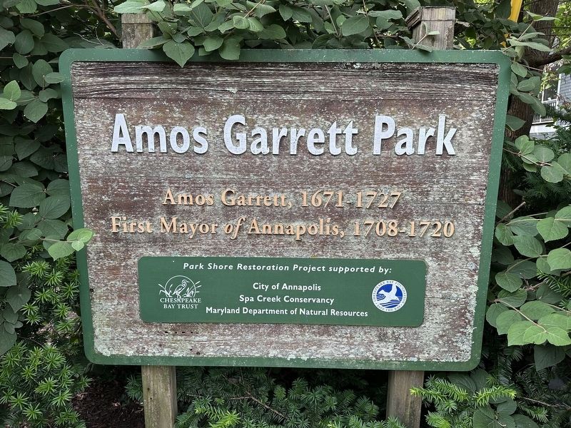
Amos Garrett Park
Photographed by Pete Skillman, June 5, 2025
1. Amos Garrett Park Marker
First Mayor of Annapolis, 1708 - 1720
Park Shore Restoration Project supported by:
City of Annapolis
Spa Creek Conservancy
Maryland Department of Natural Resources
Erected by City of Annapolis.
Topics. This historical marker is listed in these topic lists: Colonial Era • Government & Politics. A significant historical year for this entry is 1708.
Location. 38° 58.245′ N, 76° 30.071′ W. Marker is in Annapolis, Maryland, in Anne Arundel County. It is on Spa View Avenue, on the right when traveling east. Touch for map. Marker is at or near this postal address: 101 Spa View Ave, Annapolis MD 21401, United States of America. Touch for directions.

Regionally, this marker is in Central Maryland. It is also in the American Mid-Atlantic, in the Chesapeake Bay Region, and on the Eastern Seaboard. Globally, it is in the North Atlantic Region, North America, the Western Hemisphere, the Western World, and the Anglosphere. Historically, it finds itself in what was once one of the original Thirteen Colonies and also the Antebellum South.
Other nearby markers. At least 8 other
this page online
Photographed by Pete Skillman, June 5, 2025
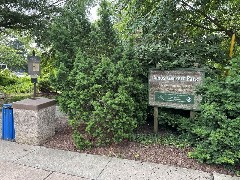
2. Amos Garrett Park Marker - wide view
Credits. This page was last revised on October 25, 2025. It was originally submitted on June 5, 2025, by Pete Skillman of Wilmington, Delaware. This page has been viewed 140 times since then and 27 times this year. Photos: 1, 2. submitted on June 5, 2025, by Pete Skillman of Wilmington, Delaware.
