University District in Toronto, Ontario — Central Canada (North America)
Early meteorology in Canada
⎯⎯⎯
Les débuts de la météorologie au Canada
Photographed by Tim Boyd, June 1, 2025
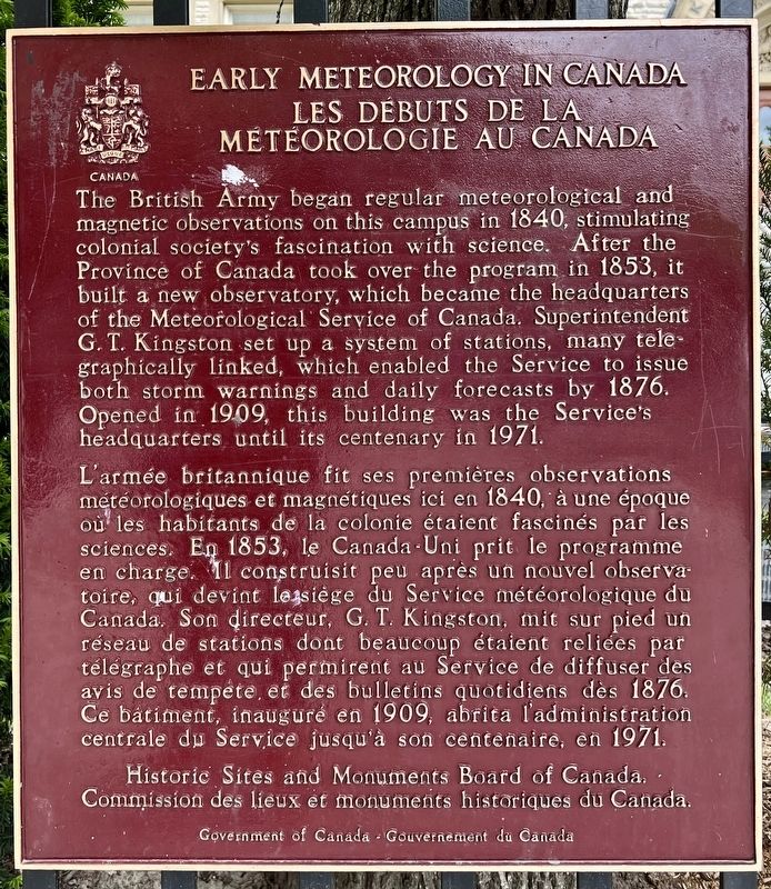
1. Early meteorology in Canada Les débuts de la météorologie au Canada Marker

The British Army began regular meteorological and magnetic observations on this campus in 1840, stimulating colonial society's fascination with science. After the Province of Canada took over the program in 1853, it built a new observatory, which became the headquarters of the Meteorological Service of Canada. Superintendent G. T. Kingston set up a system of stations, many telegraphically linked, which enabled the Service to issue both storm warnings and daily forecasts by 1876. Opened in 1909, this building was the Service's headquarters until its centenary in 1971.
L'armée britannique fit ses premières observations météorologiques et magnétiques ici en 1840, à une époque où les habitants de la colonie étaient fascinés par les sciences. En 1853, le Canada-Uni prit le programme en charge. Il construisit peu après un nouvel observatoire, qui devint le siège du Service météorologique du Canada. Son directeur, G. T. Kingston, mit sur pied un réseau de stations dont beaucoup étaient reliées par télégraphe et qui permirent au Service
this page online
Erected by Historic Sites and Monuments Board of Canada.
Topics and series. This historical marker is listed in these topic lists: Communications • Science & Medicine. In addition, it is included in the Canada, Historic Sites and Monuments Board series list. A significant historical year for this entry is 1840.
Location. 43° 40.059′ N, 79° 23.914′ W. Marker is in Toronto, Ontario. It is in the University District. It is at the intersection of Bloor Street West and Devonshire Place, on the right when traveling east on Bloor Street West. Touch for map. Marker is at or near this postal address: 315 Bloor Street W, Toronto ON M5S M5S, Canada. Touch for directions.

Regionally, this marker is in Greater Toronto and on the Golden Horseshoe. It is also in Central Canada. Globally, it is in North America, on the Great Lakes, in the Western Hemisphere, in the Western World, and in the Anglosphere. Historically, it finds itself in what was
Photographed by Tim Boyd, June 1, 2025
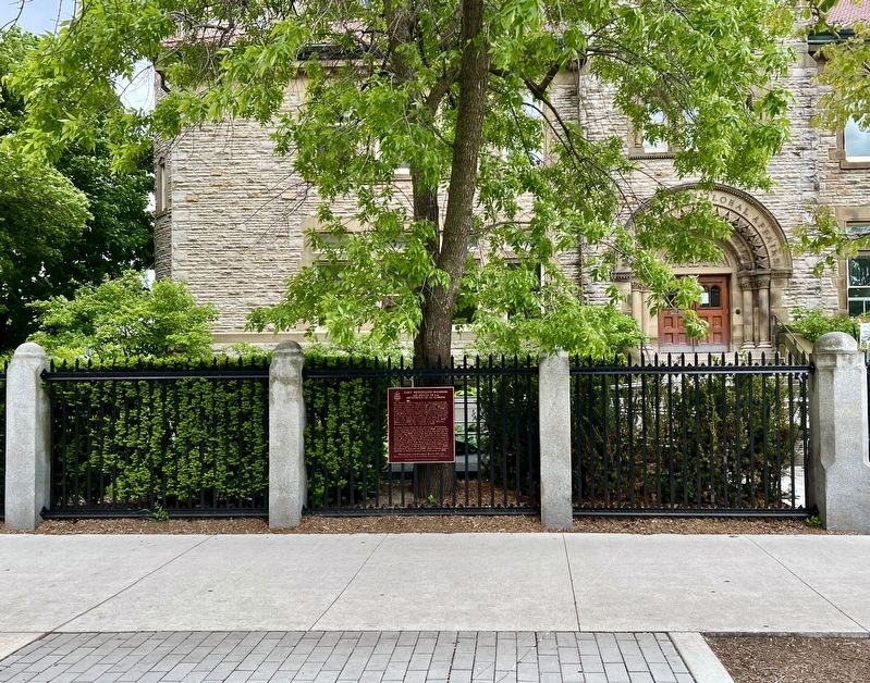
2. Early meteorology in Canada Les débuts de la météorologie au Canada Marker
Other nearby markers. At least 8 other markers are within walking distance of this marker: The Grey Cup / La Coupe Grey (within shouting distance of this marker); The Medical Arts Building (about 120 meters away, measured in a direct line); John M. Lyle Studio (about 150 meters away); Queen Alexandra Gateway (about 240 meters away); Saint Thomas’s Anglican Church (approx. 0.3 kilometers away); Charles Trick Currelly 1876-1957 (approx. 0.4 kilometers away); William Arthur Parks 1868-1936 (approx. 0.4 kilometers away); Taddle Creek (approx. 0.4 kilometers away). Touch for a list and map of all markers in Toronto.
1857
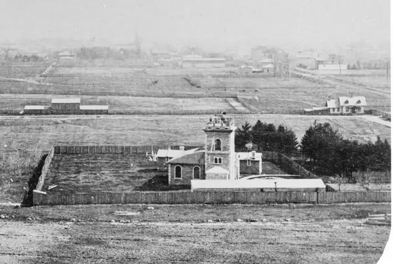
3. The 1853 Toronto Observatory in 1857 (detail from a stereoscopic view)
Source: Toronto Public Library (public domain)
Photographed by Tim Boyd, June 12025
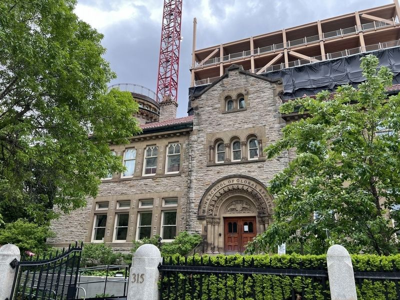
4. Former 1909 Meteorological Office in 2025
Credits. This page was last revised on July 23, 2025. It was originally submitted on June 6, 2025, by Tim Boyd of Hamilton, Ontario. This page has been viewed 104 times since then and 24 times this year. Photos: 1, 2, 3, 4. submitted on June 6, 2025, by Tim Boyd of Hamilton, Ontario. • Andrew Ruppenstein was the editor who published this page.
