Belen in Valencia County, New Mexico — The American Mountains (Southwest)
"Bethlehem"
Belen, New Mexico
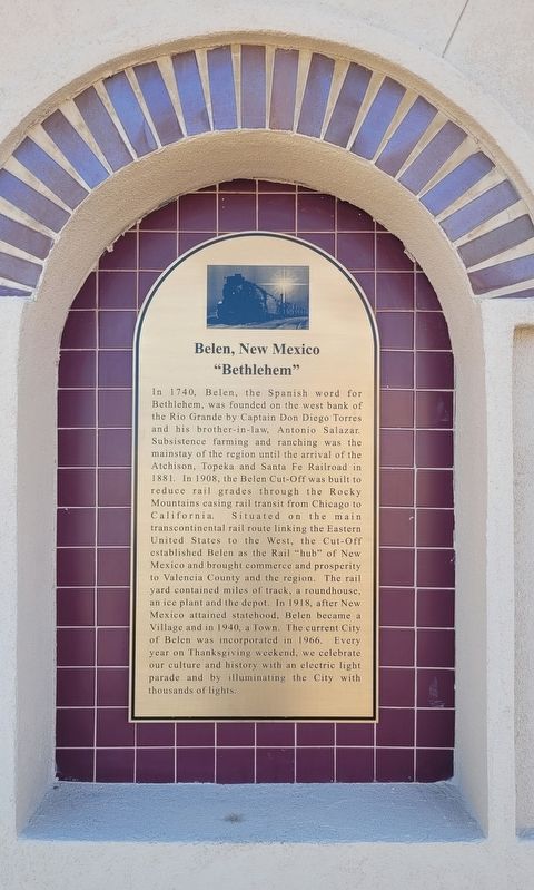
Photographed by James Hulse, April 10, 2025
1. "Bethlehem" Marker
Topics. This historical marker is listed in these topic lists: Hispanic Americans • Railroads & Streetcars • Settlements & Settlers. A significant historical year for this entry is 1740.
Location. 34° 39.652′ N, 106° 46.598′ W. Marker is in Belen, New Mexico, in Valencia County. It is at the intersection of South Main Street and Dalies Ave, on the left when traveling south on South Main Street. Touch for map. Marker is at or near this postal address: 111 S Main St, Belen NM 87002, United States of America. Touch for directions.

Regionally, this marker is in the Rio Grande Valley and in Greater Albuquerque. It is also in the American Southwest. Globally, it is in North America, the Western Hemisphere, the Western World, and the Anglosphere. Historically, it finds
this page online
Other nearby markers. At least 8 other markers are within 10 miles of this marker, measured as the crow flies: Belen Veterans Memorial (here, next to this marker); Harvey House (a few steps from this marker); The Belen Hotel (approx. 0.4 miles away); Camino del Llano (approx. 1.1 miles away); Belén (approx. 2.6 miles away); a different marker also named Belén (approx. 2.7 miles away); Tomé (approx. 6.1 miles away); Atchison, Topeka, and Santa Fe Railroad Depot (approx. 9½ miles away). Touch for a list and map of all markers in Belen.
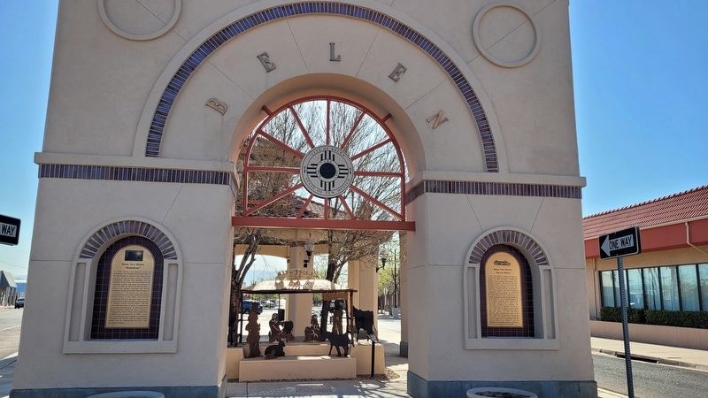
Photographed by James Hulse, April 10, 2025
2. "Bethlehem" Marker (left side)
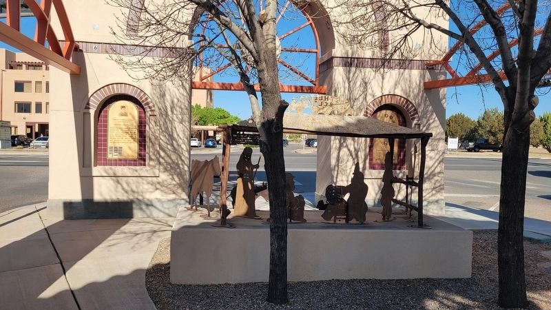
Photographed by James Hulse, April 10, 2025
3. The view of the "Bethlehem" artwork
Credits. This page was last revised on June 8, 2025. It was originally submitted on June 6, 2025, by James Hulse of Medina, Texas. This page has been viewed 134 times since then and 29 times this year. Photos: 1, 2, 3. submitted on June 8, 2025, by James Hulse of Medina, Texas.
