
Crescent Township in Glenwillard in Allegheny County, Pennsylvania — The American Northeast (Mid-Atlantic)
Stoops Ferry-Shousetown Road

Photographed by Bradley Owen, June 6, 2025
1. Stoops Ferry-Shousetown Road Marker
Allegheny County
Rebuilt as a modern highway and dedicated-December 1, 1934
Board of County Commissioners
Chas. C. McGovern Chairman • W. D. Mansfield • C. M. Barr
Topics. This historical marker is listed in this topic list: Roads & Vehicles. A significant historical year for this entry is 1934.
Location. 40° 33.389′ N, 80° 13.223′ W. Marker is in Glenwillard, Pennsylvania, in Allegheny County. It is in Crescent Township. It is at the intersection of McGovern Boulevard (Pennsylvania Route 51) and Riverview Road, on the right when traveling north on McGovern Boulevard. Touch for map. Marker is at or near this postal address: 86 McGovern Boulevard, Crescent PA 15046, United States of America. Touch for directions.

Regionally, this marker is in Greater Pittsburgh. It is also in the American Northeast, in the Mid-Atlantic, in the Ohio River Valley, in Appalachia, and specifically in Northern Appalachia. Globally, it is in North America, the Western Hemisphere, the Western World, and the Anglosphere. Historically, it finds itself in what was once the Viceroyalty of New France,
this page online
Other nearby markers. At least 8 other markers are within walking distance of this marker: General James O'Hara (here, next to this marker); Peter Shouse (here, next to this marker); Shousetown Honor Roll (a few steps from this marker); Crescent Township Honor Roll (within shouting distance of this marker); a different marker also named Crescent Township Honor Roll (within shouting distance of this marker); Shousetown Boatyard (about 300 feet away, measured in a direct line); Allegheny County (about 800 feet away); Shousetown Cemetery Memorial (approx. 0.3 miles away). Touch for a list and map of all markers in Glenwillard.
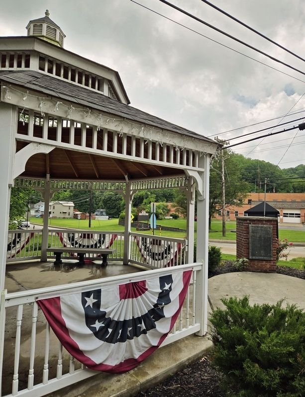
Photographed by Bradley Owen, June 6, 2025
2. Stoops Ferry-Shousetown Road Marker
Credits. This page was last revised on June 8, 2025. It was originally submitted on June 6, 2025, by Bradley Owen of Morgantown, West Virginia. This page has been viewed 136 times since then and 36 times this year. Photos: 1, 2. submitted on June 8, 2025, by Bradley Owen of Morgantown, West Virginia.
