
Huron Sussex in Toronto, Ontario — Central Canada (North America)
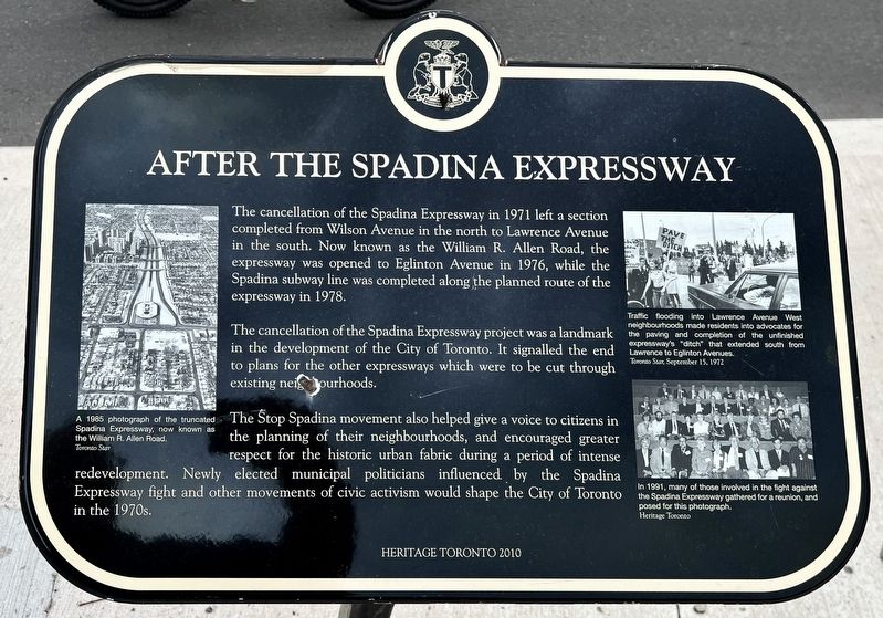
After the Spadina Expressway
Photographed by Tim Boyd, June 1, 2025
1. After the Spadina Expressway Marker
The cancellation of the Spadina Expressway project was a landmark in the development of the City of Toronto. It signalled the end to plans for the other expressways which were to be cut through existing neighbourhoods.
The Stop Spadina movement also helped give a voice to citizens in the planning of their neighbourhoods, and encouraged greater respect for the historic urban fabric during a period of intense redevelopment. Newly elected municipal politicians influenced by the Spadina Expressway fight and other movements of civic activism would shape the City of Toronto in the 1970s.
Erected 2010 by Heritage Toronto.
Topics and series. This historical marker is listed in these topic lists: Charity & Public Work • Government & Politics • Roads & Vehicles. In addition, it
this page online
Location. 43° 39.998′ N, 79° 24.213′ W. Marker is in Toronto, Ontario. It is in Huron Sussex. It is on Bloor Street West. Touch for map. Marker is at or near this postal address: 393 Bloor Street W, Toronto ON M5S 2J4, Canada. Touch for directions.

Regionally, this marker is in Greater Toronto and on the Golden Horseshoe. It is also in Central Canada. Globally, it is in North America, the Western Hemisphere, the Western World, and the Anglosphere. Historically, it finds itself in what was once a British colony, the Viceroyalty of New France, the Haudenosaunee (Iroquois) Confederacy, and Rupert’s Land.
Other nearby markers. At least 8 other markers are within walking distance of this marker: “Stop Spadina Save Our City” (here, next to this marker); Spadina Expressway (here, next to this marker); Young Men’s - Young Women’s Hebrew Association (within shouting distance of this marker); Saint Thomas’s Anglican Church (about 240 meters away, measured in a direct line); The Medical Arts Building (approx. 0.3 kilometers
Photographed by Tim Boyd, June 1, 2026
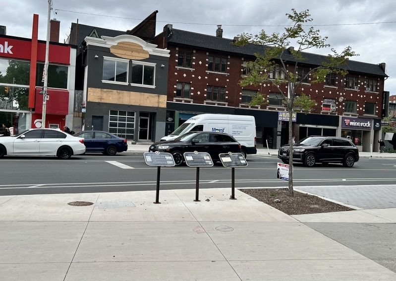
2. After the Spadina Expressway Marker (the left of the three markers)
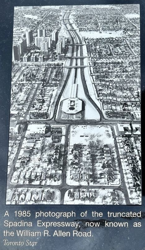
courtesy Toronto Star, 1985
3. After the Spadina Expressway marker photo and captions detail

Photographed by Tim Boyd, June 1, 2025
4. After the Spadina Expressway marker photos and captions detail
Credits. This page was last revised on June 7, 2025. It was originally submitted on June 7, 2025, by Tim Boyd of Hamilton, Ontario. This page has been viewed 112 times since then and 14 times this year. Photos: 1, 2, 3, 4. submitted on June 7, 2025, by Tim Boyd of Hamilton, Ontario. • Andrew Ruppenstein was the editor who published this page.
