Near Waterford in Saratoga County, New York — The American Northeast (Mid-Atlantic)
Empire State Trail
At Pebbles Island State Park
Photographed by Steve Stoessel, June 8, 2025
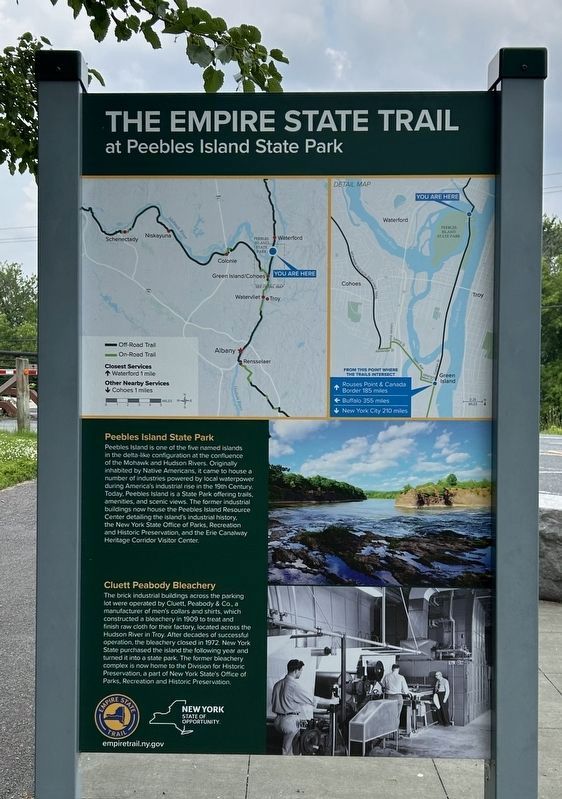
1. Empire State Trail Marker
Peebles Island State Park
Peebles Island is one of the five named islands in the delta-like configuration at the confluence of the Mohawk and Hudson Rivers. Originally inhabited by Native Americans, it came to house a number of industries powered by local waterpower during America's industrial rise in the 19th Century. Today, Peebles Island is a State Park offering trails, amenities, and scenic views. The former industrial buildings now house the Peebles Island Resource Center detailing the island's industrial history, the New York State Office of Parks, Recreation and Historic Preservation, and the Erie Canalway Heritage Corridor Visitor Center.
Peabody Bleachery
The brick industrial buildings across the parking lot were operated by Cluett, Peabody & Co., a manufacturer of men's collars and shirts, which constructed a bleachery in 1909 to treat and finish raw cloth for their factory, located across the Hudson River in Troy. After decades of successful operation, the bleachery closed in 1972. New York State purchased the island the following year and turned it into a state park. The former bleachery complex is now
this page online
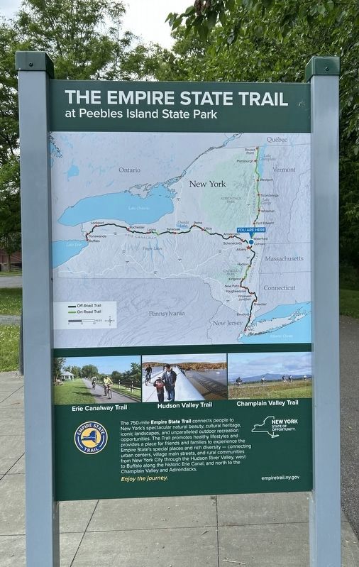
[ Side 2: ]
The 750-mile Empire State Trail connects people to New York's spectacular natural beauty, cultural heritage, iconic landscapes, and unparalleled outdoor recreation opportunities. The Trail promotes healthy lifestyles and provides a place for friends and families to experience the Empire State's special places and rich diversity - connecting urban centers, village main streets, and rural communities from New York City through the Hudson River Valley, west to Buffalo along the historic Erie Canal, and north to the Champlain Valley and Adirondacks. Enjoy the journey.
Erected by Erie Canalway, State of New York.
Topics. This historical marker is listed in these topic lists: Industry & Commerce • Roads & Vehicles. A significant historical year for this entry is 1909.
Location. 42° 47.106′ N, 73° 40.815′ W. Marker is near Waterford, New York, in Saratoga County. It is at the intersection of Empire State Trail and Delaware Avenue, on the left when traveling west on Empire State Trail.
Photographed by Steve Stoessel, June 8, 2025
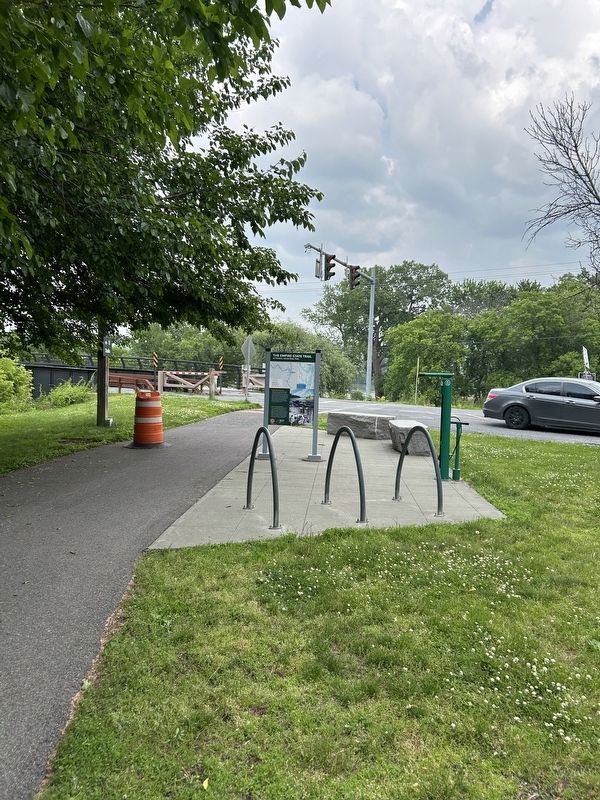
2. Empire State Trail Marker

Regionally, this marker is in Upstate New York, in the Capital District, and in the Albany Metropolitan Area. It is also in the American Northeast and in the Mid-Atlantic. Globally, it is in North America, the Great North Woods, the Western Hemisphere, the Western World, and the Anglosphere. Historically, it finds itself in what was once New Netherland and also one of the original Thirteen Colonies.
Other nearby markers. At least 8 other markers are within walking distance of this marker: An Urban Refuge (a few steps from this marker); Native American & 17th-century History of Peebles Island (a few steps from this marker); Peebles Island in the 18th-20th Centuries (a few steps from this marker); Breastworks (within shouting distance of this marker); Water Ford (within shouting distance of this marker); 1777 Earthworks (within shouting distance of this marker); Cluett, Peabody & Company (about 300 feet away, measured in a direct line); View of Van Schaick Island (about 400 feet away). Touch for a list and map
Photographed by Steve Stoessel, June 8, 2025
3. Empire State Trail Marker, Side 2
Photographed by Steve Stoessel, June 8, 2025
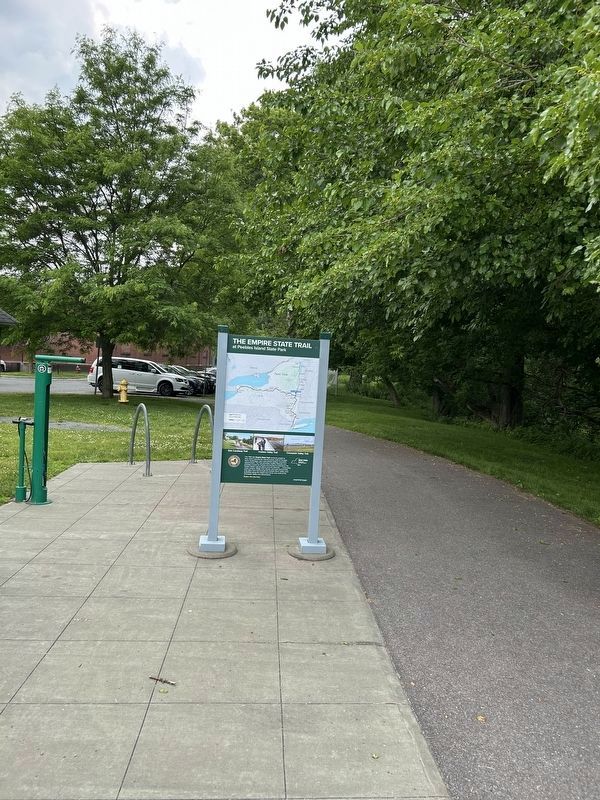
4. Empire State Trail Marker, Side 2
Credits. This page was last revised on June 9, 2025. It was originally submitted on June 8, 2025, by Steve Stoessel of Niskayuna, New York. This page has been viewed 102 times since then and 17 times this year. Photos: 1, 2, 3. submitted on June 8, 2025, by Steve Stoessel of Niskayuna, New York. 4. submitted on June 9, 2025, by Steve Stoessel of Niskayuna, New York.
