Parowan in Iron County, Utah — The American Mountains (Southwest)
Parowan Gap Petroglyphs
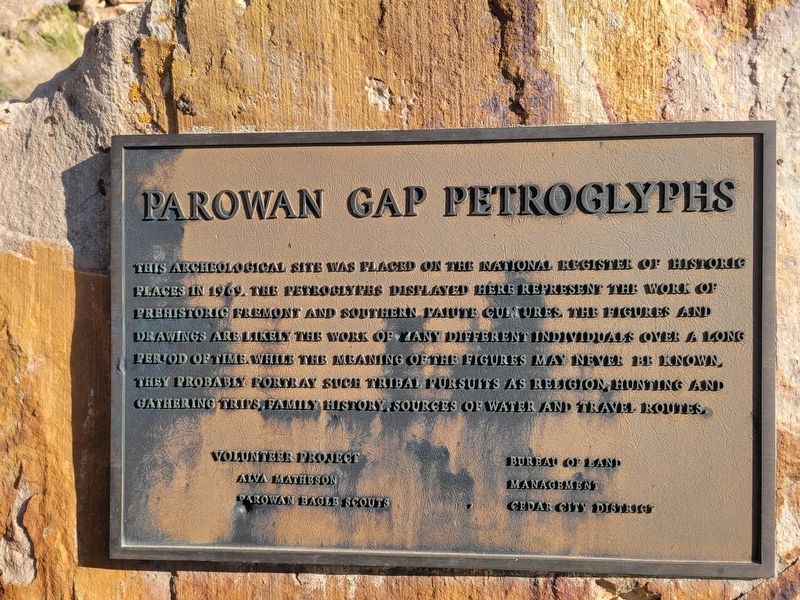
Photographed by Jeremy Snow, May 31, 2025
1. Parowan Gap Petroglyphs Marker
Topics. This historical marker is listed in this topic list: Indigenous Peoples and Communities. A significant historical year for this entry is 1969.
Location. 37° 54.564′ N, 112° 59.099′ W. Marker is in Parowan, Utah, in Iron County. It is on West Gap Road, on the right when traveling west. Touch for map. Marker is at or near this postal address: W Gap Road, Parowan UT 84761, United States of America. Touch for directions.

Regionally, this marker is in Utah’s Color Country. It is also in the American Mountain West and on the Colorado Plateau. Globally, it is in North America, the Rocky Mountains, the Western Hemisphere, the Western World,
this page online
Other nearby markers. At least 8 other markers are within 8 miles of this marker, measured as the crow flies: Hopi Perspective (here, next to this marker); The Great Migration (a few steps from this marker); Paiute Perspective (a few steps from this marker); Art or Language? / How These Images Were Made (within shouting distance of this marker); Southern Utah Expedition of 1849 (within shouting distance of this marker); Long-Ago Artisans (within shouting distance of this marker); Settlement of Parowan Valley (about 400 feet away, measured in a direct line); Old Spanish National Historic Trail (approx. 7.8 miles away). Touch for a list and map of all markers in Parowan.
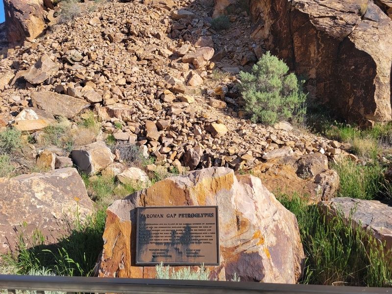
Photographed by Jeremy Snow, May 31, 2025
2. Parowan Gap Petroglyphs Marker
Credits. This page was last revised on June 9, 2025. It was originally submitted on June 8, 2025, by Jeremy Snow of Cedar City, Utah. This page has been viewed 134 times since then and 30 times this year. Photos: 1, 2. submitted on June 8, 2025, by Jeremy Snow of Cedar City, Utah. • Andrew Ruppenstein was the editor who published this page.
