Parowan in Iron County, Utah — The American Mountains (Southwest)
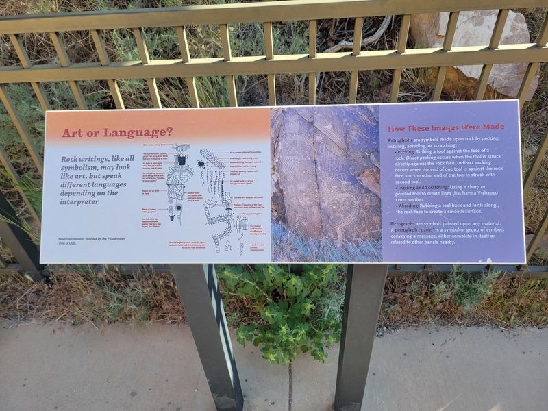
Art or Language?
⎯⎯⎯
How These Images Were Made
Photographed by Jeremy Snow, May 31, 2025
1. Art or Language? Marker
Art or Language?
Rock writings, like all symbolism, may look like art, but speak different languages depending on the interpreter.
How These Images Were Made
Petroglyphs are symbols made upon rock by pecking, incising, abrading, or scratching.
• Pecking: Striking a tool against the face of a rock. Direct pecking occurs when the tool is struck directly against the rock face. Indirect pecking occurs when the end of one tool is against the rock face and the other end of the tool is struck with [a] second tool.
• Incising and Scratching: Using a sharp or pointed tool to create lines that have a V-shaped cross section.
• Abrading: Rubbing a tool back and forth along the rock face to create a smooth surface.
Pictographs are symbols painted upon any material. A petroglyph panel is a symbol or group of symbols conveying a message, either complete in itself or related to other panels nearby.
Topics. This historical marker is listed in this topic list: Indigenous Peoples and Communities.
Location. 37° 54.567′ N, 112° 59.12′ W. Marker is in Parowan, Utah, in Iron County.
this page online

Regionally, this marker is in Utah’s Color Country. It is also in the American Mountain West and on the Colorado Plateau. Globally, it is in North America, the Rocky Mountains, the Western Hemisphere, the Western World, and the Anglosphere. Historically, it finds itself in what was once New Spain and also Mexico’s Alta California.
Other nearby markers. At least 8 other markers are within 8 miles of this marker, measured as the crow flies: Parowan Gap Petroglyphs (within shouting distance of this marker); Hopi Perspective (within shouting distance of this marker); The Great Migration (within shouting distance of this marker); Paiute Perspective (within shouting distance of this marker); Settlement of Parowan Valley (about 300 feet away, measured in a direct line); Southern Utah Expedition of 1849 (about 300 feet away); Long-Ago Artisans (about 300 feet away); Old Spanish National Historic Trail (approx. 7.9 miles away). Touch for a list and map
Photographed by Jeremy Snow, May 31, 2025
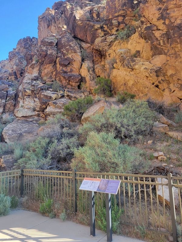
2. Art or Language?/How These Images Were Made Marker
Credits. This page was last revised on June 9, 2025. It was originally submitted on June 9, 2025, by Jeremy Snow of Cedar City, Utah. This page has been viewed 131 times since then and 24 times this year. Photos: 1, 2. submitted on June 9, 2025, by Jeremy Snow of Cedar City, Utah. • Andrew Ruppenstein was the editor who published this page.
