Parowan in Iron County, Utah — The American Mountains (Southwest)
Paiute Perspective
Photographed by Jeremy Snow, May 31, 2025
1. Paiute Perspective Marker
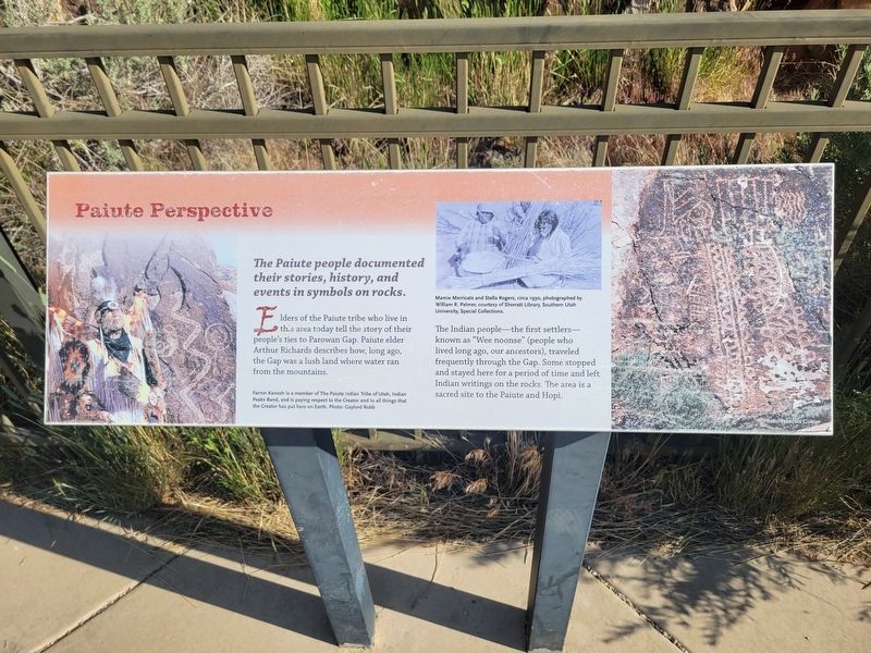
Elders of the Paiute tribe who live in this area today tell the story of their people's ties to Parowan Gap. Paiute elder Arthur Richards describes how, long ago, the Gap was a lush land where water ran from the mountains.
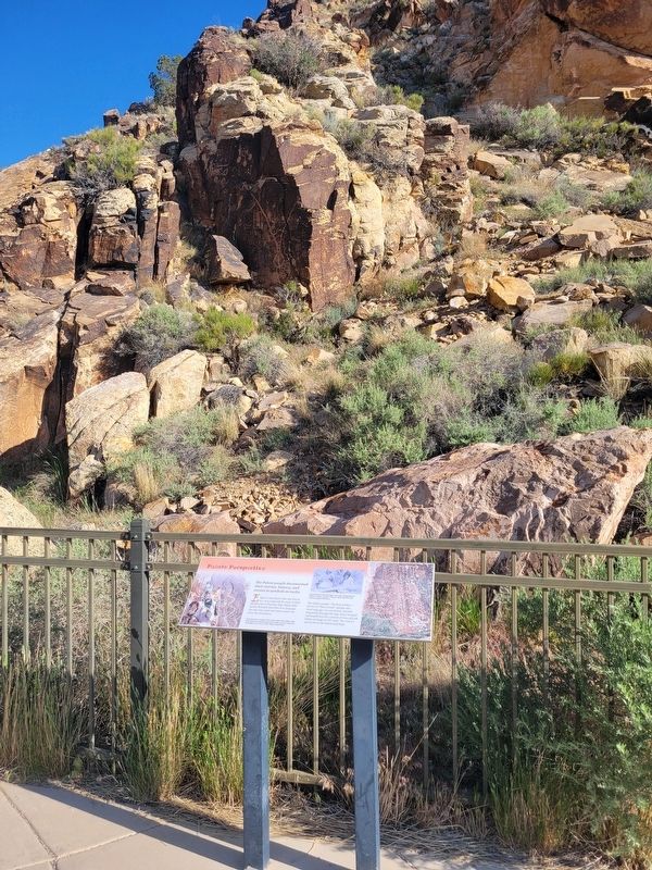
The Indian people -the first settlers- known as "Wee noonse" (people who lived long ago, our ancestors), traveled frequently through the Gap. Some stopped and stayed here for a period of time and left Indian writings on the rocks. The area is a sacred site to the Paiute and Hopi.
(photo caption) Farron Kanosh is a member of the Paiute Indian Tribe of Utah, Indian Peaks Band, and is paying respect to the Creator and to all things that the Creator has put here on Earth. Photo: Gaylord Robb.
(photo caption) Mamie Merricats and Stella Rogers, circa 1930, photographed by William R. Palmer, courtesy of Sherratt Library, Southern Utah University, Special Collections.
Topics. This historical marker is listed in this topic list: Indigenous Peoples and Communities.
Location. 37° 54.567′ N,
this page online

Regionally, this marker is in Utah’s Color Country. It is also in the American Mountain West and on the Colorado Plateau. Globally, it is in North America, the Rocky Mountains, the Western Hemisphere, the Western World, and the Anglosphere. Historically, it finds itself in what was once New Spain and also Mexico’s Alta California.
Other nearby markers. At least 8 other markers are within 8 miles of this marker, measured as the crow flies: The Great Migration (here, next to this marker); Parowan Gap Petroglyphs (a few steps from this marker); Hopi Perspective (a few steps from this marker); Art or Language? / How These Images Were Made (within shouting distance of this marker); Southern Utah Expedition of 1849 (within shouting distance of this marker); Long-Ago Artisans (within
Photographed by Jeremy Snow, May 31, 2025
2. Paiute Perspective Marker
Credits. This page was last revised on June 9, 2025. It was originally submitted on June 9, 2025, by Jeremy Snow of Cedar City, Utah. This page has been viewed 145 times since then and 25 times this year. Photos: 1, 2. submitted on June 9, 2025, by Jeremy Snow of Cedar City, Utah. • Andrew Ruppenstein was the editor who published this page.
