
Port Hope in Northumberland County, Ontario — Central Canada (North America)
The Eldorado Refinery
⎯⎯⎯
La Raffinerie Eldorado
Photographed by Tim Boyd, June 7, 2025
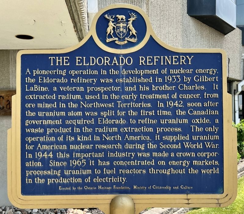
1. The Eldorado Refinery Marker

A pioneering operation in the development of nuclear energy, the Eldorado refinery was established in 1933 by Gilbert LaBine, a veteran prospector, and his brother Charles. It extracted radium, used in the early treatment of cancer, from ore mined in the Northwest Territories. In 1942, soon after the uranium atom was split for the first time, the Canadian government acquired Eldorado to refine uranium oxide, a waste product in the radium extraction process. The only operation of its kind in North America, it supplied uranium for American nuclear research during the Second World War. In 1944 this important industry was made a crown corporation. Since 1965 it has concentrated on energy markets, processing uranium to fuel reactors throughout the world in the production of electricity.
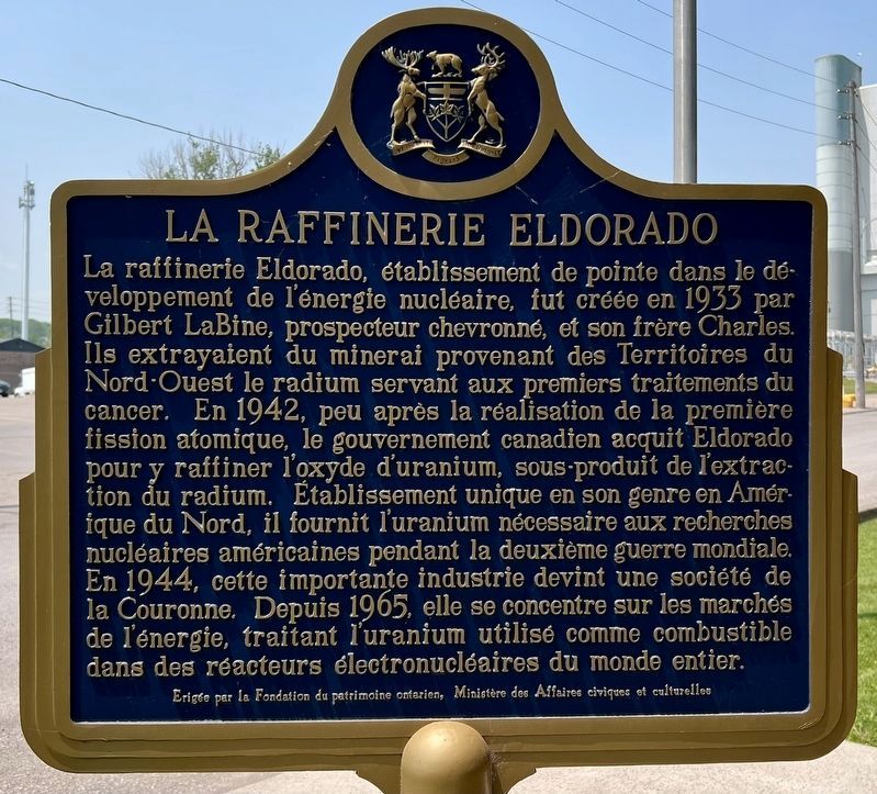
La raffinerie Eldorado, établissement de pointe dans le développement de l'énergie nucléaire, fut créée en 1933 par Gilbert LaBine, prospecteur chevronné, et son frère Charles. Ils extrayaient du minerai provenant des Territoires du Nord-Ouest le radium servant aux premiers traitements
this page online
Erected by Ontario Heritage Foundation.
Topics and series. This historical marker is listed in these topic lists: Industry & Commerce • Science & Medicine. In addition, it is included in the Canada, Ontario Heritage Trust series list. A significant historical year for this entry is 1933.
Location. 43° 56.579′ N, 78° 17.691′ W. Marker is in Port Hope, Ontario, in Northumberland County. It is on Eldorado Place 0.1 kilometers south of Marsh Street, on the left when traveling south. Touch for map. Marker is at or near this postal address: 29 Eldorado
Photographed by Tim Boyd, June 7, 2015
2. La Raffinerie Eldorado (français)

Regionally, this marker is in the Kawarthas Northumberland Area and in Eastern Ontario. It is also in Central Canada. Globally, it is in North America, on the Great Lakes, in the Western Hemisphere, in the Western World, and in the Anglosphere. Historically, it finds itself in what was once a British colony, the Viceroyalty of New France, the Haudenosaunee (Iroquois) Confederacy, and Rupert’s Land.
Other nearby markers. At least 8 other markers are within walking distance of this marker: 77mm German Field Gun (approx. 0.7 kilometers away); Founding of Port Hope (approx. 0.7 kilometers away); Arthur T.H. Williams MP (approx. 0.7 kilometers away); Cenotaph Plaque (approx. 0.7 kilometers away); Port Hope Cenotaph (approx. 0.7 kilometers away); Rotary Foot Bridge (approx. 0.7 kilometers away); History of the Ganaraska Watershed (approx. 0.8 kilometers away); The Little Station House (approx. 0.8 kilometers away). Touch for a list and map of all markers in Port Hope.
Photographed by Tim Boyd, June 7, 2025
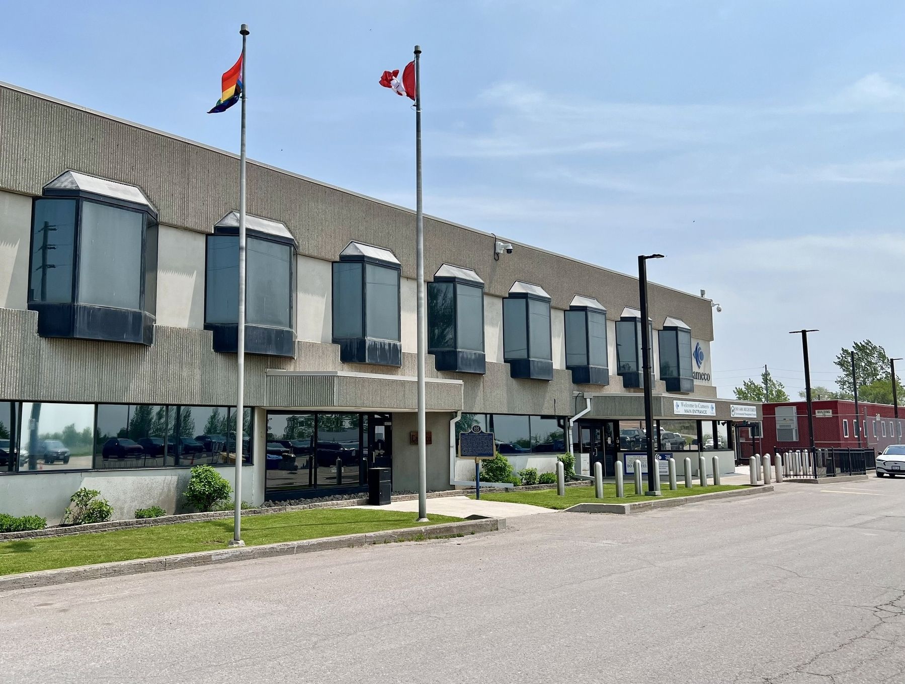
3. The Eldorado Refinery/La Raffinerie Eldorado Marker (centre of photo)
Credits. This page was last revised on June 9, 2025. It was originally submitted on June 9, 2025, by Tim Boyd of Hamilton, Ontario. This page has been viewed 180 times since then and 40 times this year. Photos: 1, 2, 3. submitted on June 9, 2025, by Tim Boyd of Hamilton, Ontario. • Andrew Ruppenstein was the editor who published this page.
