Near Richmond in Madison County, Kentucky — The American South (East South Central)
Valley View Ferry
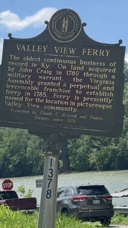
Photographed by Ted Wayne Smith
1. Valley View Ferry Marker
Owners since 1950
Erected by Commonwealth of Kentucky. (Marker Number 1378.)
Topics. This historical marker is listed in this topic list: Waterways & Vessels. A significant historical year for this entry is 1780.
Location. 37° 50.828′ N, 84° 26.073′ W. Marker is near Richmond, Kentucky, in Madison County. It is on Tates Creek Road (Kentucky Route 169) west of Tattlers Branch Road. Touch for map. Marker is at or near this postal address: 3321 Tates Creek Rd, Richmond KY 40475, United States of America. Touch for directions.

Regionally, this marker is in the American South, specifically in the Upper South, in Appalachia, and specifically in Southern Appalachia. Globally, it is in North America, the Western Hemisphere, the Western World, and the Anglosphere. Historically, it finds itself in what was once the territory of the Mississippian Culture and also the Antebellum South.
Other nearby markers. At least 8 other markers are within 5 miles of this marker, measured as the crow flies: A different marker also named Valley View Ferry (within shouting distance of this marker); Stone Kitchen (approx. 4½ miles away); Richmond Garden Club (approx. 4.6 miles away); White Hall (approx. 4.6 miles away); Laura Clay (1849-1941) (approx. 4.6 miles away); Mary Barr Clay (approx. 4.6 miles away); Kentucky & the Emancipation Proclamation (approx. 4.7 miles away); White Hall State Historic Site (approx. 4.7 miles away). Touch for a list and map of all markers in Richmond.
this page online
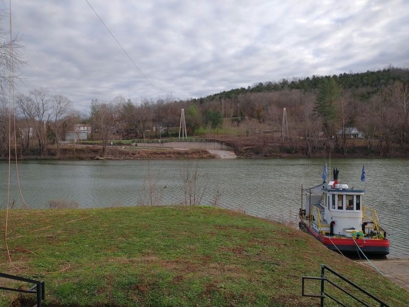
Photographed by Tom Bosse, December 8, 2024
2. Valley View Ferry Marker
Marker is on the opposite bank of the river.
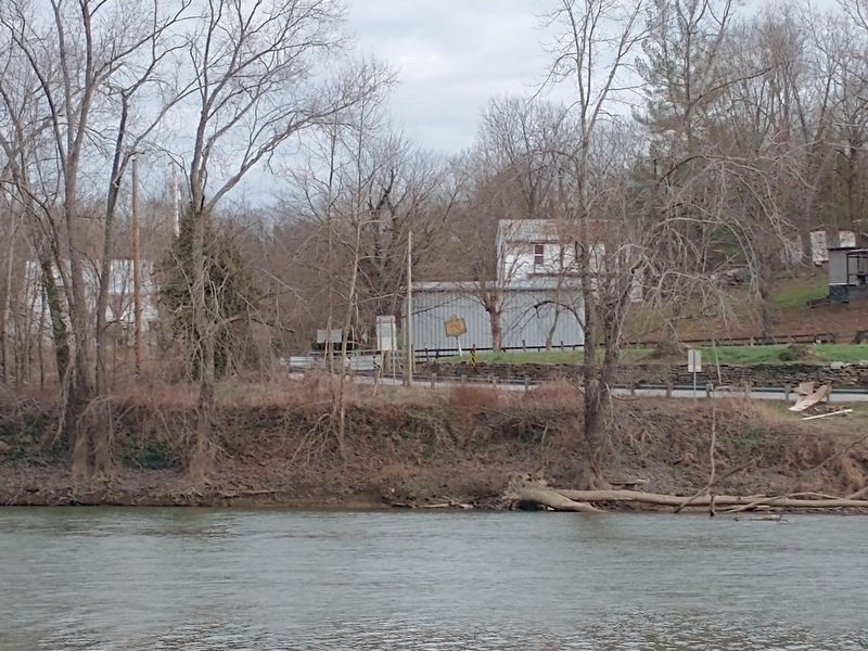
Photographed by Tom Bosse, December 8, 2024
3. Valley View Ferry Marker
Marker can be seen on the opposite bank of the river.
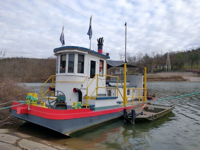
Photographed by Tom Bosse, December 8, 2024
4. Valley View Ferry
Credits. This page was last revised on June 30, 2025. It was originally submitted on June 9, 2025, by Ted Wayne Smith of Nicholasville, Kentucky. This page has been viewed 157 times since then and 30 times this year. Photos: 1. submitted on June 9, 2025, by Ted Wayne Smith of Nicholasville, Kentucky. 2, 3, 4. submitted on June 27, 2025, by Tom Bosse of Jefferson City, Tennessee. • James Hulse was the editor who published this page.
Editor’s want-list for this marker. A wide view photo of the marker and the surrounding area together in context. • Can you help?
