Near Campbellcroft in Northumberland County, Ontario — Central Canada (North America)
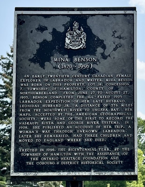
Mina Benson (1870-1956)
Photographed by Tim Boyd, June 7, 2025
1. Mina Benson Marker
Erected 1996 by Township of Hamilton, Ontario Heritage Foundation, Cobourg & District Historical Society.
Topics and series. This historical marker is listed in these topic lists: Exploration • Women. In addition, it is included in the Canada, Ontario Heritage Trust series list. A significant historical year for this entry is 1903.
Location. 44° 4.665′ N, 78° 17.065′ W. Marker is near Campbellcroft, Ontario, in Northumberland County.
this page online

Regionally, this marker is in the Kawarthas Northumberland Area and in Eastern Ontario. It is also in Central Canada. Globally, it is in North America, on the Great Lakes, in the Western Hemisphere, in the Western World, and in the Anglosphere. Historically, it finds itself in what was once a British colony, the Viceroyalty of New France, the Haudenosaunee (Iroquois) Confederacy, and Rupert’s Land.
Other nearby markers. At least 8 other markers are within 11 kilometers of this marker, measured as the crow flies: Gore’s Landing (approx. 6.2 kilometers away); Gore’s Landing Dock (approx. 6.4 kilometers away); Harris Burial Ground - Susanna Moody Home (approx. 7.3 kilometers away); Mount Ararat (approx. 9.6 kilometers away); Gravesite of German Workers (approx. 9.6 kilometers away); Hope Chapel (approx. 10.3 kilometers away); Sgt. Edward Edwin Dodds (approx. 10.3 kilometers away); Harwood (approx.
Photographed by Tim Boyd, June 7, 2025
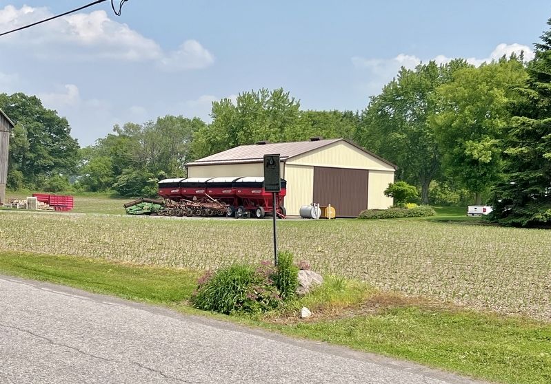
2. Mina Benson Marker
1901
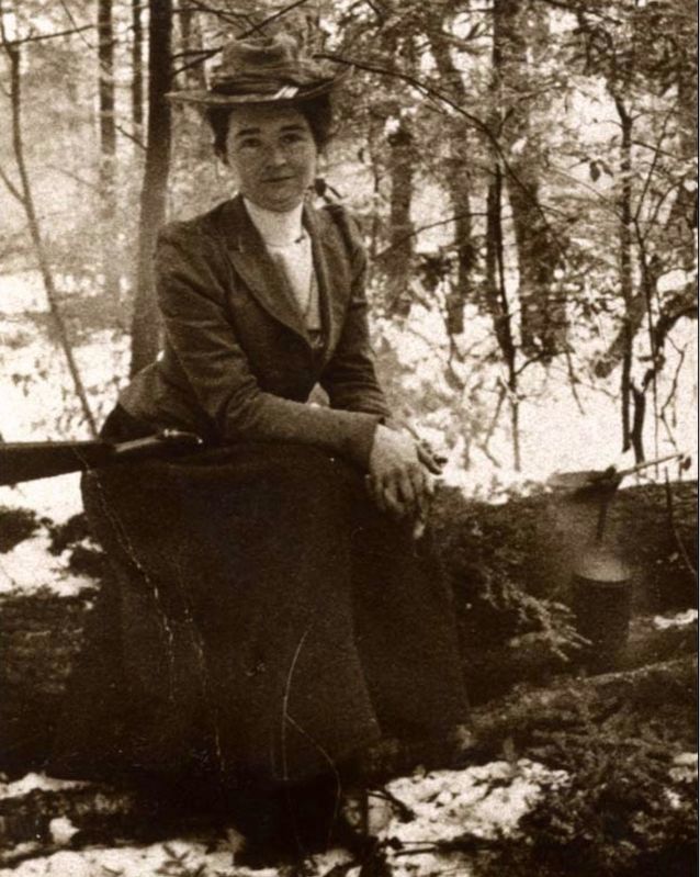
3. Mina Benson Hubbard, 1901
Source: Wikipedia (Memorial University NL, public domain)
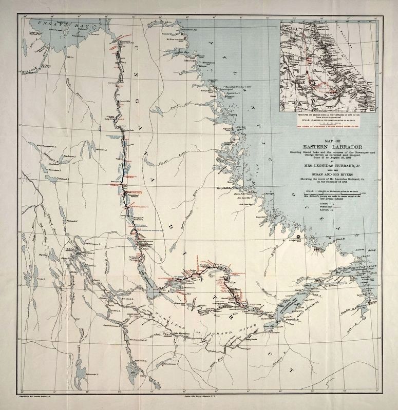
4. Map created by Mina Benson Hubbard in 1908 flowing her expedition to Labrador
Source: Canadian Encyclopedia (Memorial University, NL, public domain)
Credits. This page was last revised on June 9, 2025. It was originally submitted on June 9, 2025, by Tim Boyd of Hamilton, Ontario. This page has been viewed 145 times since then and 19 times this year. Photos: 1, 2, 3, 4. submitted on June 9, 2025, by Tim Boyd of Hamilton, Ontario. • Andrew Ruppenstein was the editor who published this page.
