Near Baltimore in Northumberland County, Ontario — Central Canada (North America)
Gravesite of German Workers
Photographed by Tim Boyd, June 7, 2025
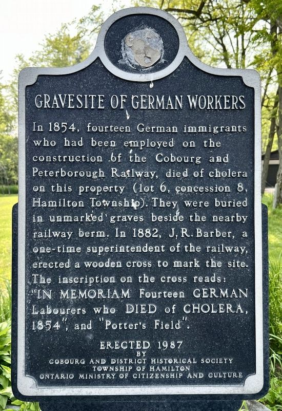
1. Gravesite of German Workers Marker
Erected 1987 by Cobourg and District Historical Society, Township of Hamilton, Ontario Ministry of Citizenship.
Topics. This historical marker is listed in these topic lists: Cemeteries & Burial Sites • Railroads & Streetcars. A significant historical year for this entry is 1854.
Location. 44° 7.463′ N, 78° 11.029′ W. Marker is near Baltimore, Ontario, in Northumberland County. It is on Hardwood Road (Regional Road 15) half a kilometer north of Cookery Road, on the left when traveling north. Touch for map. Marker is at or near this postal address: 5102 Regional Road 15, Baltimore ON K0K 1C0, Canada. Touch for directions.

Regionally,
this page online
Other nearby markers. At least 8 other markers are within 13 kilometers of this marker, measured as the crow flies: Mount Ararat (here, next to this marker); Harwood (approx. 1.8 kilometers away); Gore’s Landing Dock (approx. 4 kilometers away); Gore’s Landing (approx. 4 kilometers away); Mina Benson (1870-1956) (approx. 9.6 kilometers away); Alderville First Nation Cenotaph (approx. 11.3 kilometers away); a different marker also named Alderville First Nation Cenotaph (approx. 11.3 kilometers away); Alderville Indian Reserve 1837-1987 (approx. 11.6 kilometers away).
Photographed by Tim Boyd, June 7, 2025
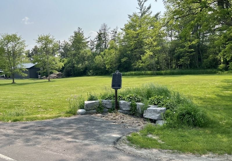
2. Gravesite of German Workers Marker
Credits. This page was last revised on June 9, 2025. It was originally submitted on June 9, 2025, by Tim Boyd of Hamilton, Ontario. This page has been viewed 112 times since then and 14 times this year. Photos: 1, 2. submitted on June 9, 2025, by Tim Boyd of Hamilton, Ontario. • Andrew Ruppenstein was the editor who published this page.
