Near Cohoes in Albany County, New York — The American Northeast (Mid-Atlantic)
A Strategic Location
Photographed by Steve Stoessel, June 8, 2025
1. A Strategic Location Marker
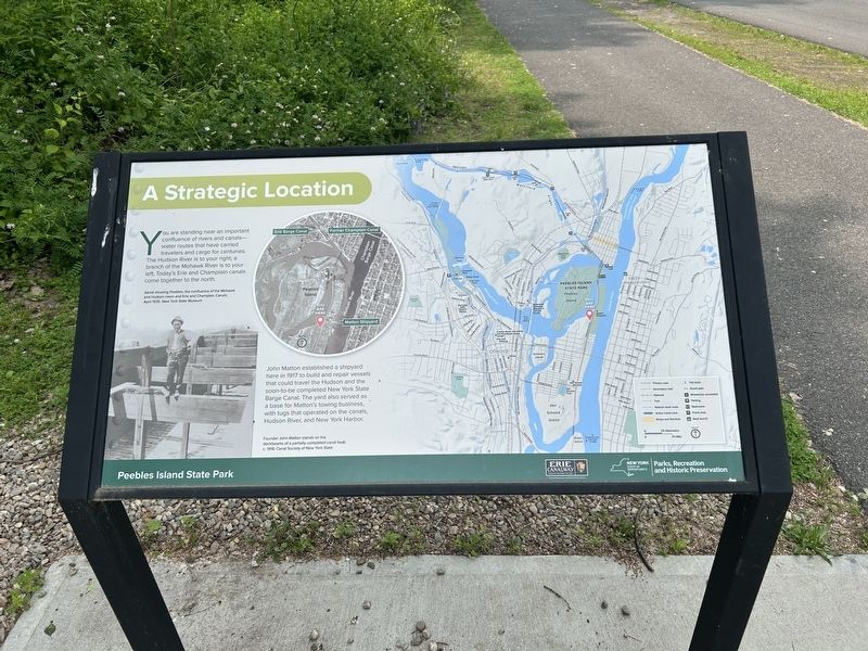
You are standing near an important confluence of rivers and canals— water routes that have carried travelers and cargo for centuries. The Hudson River is to your right; a branch of the Mohawk River is to your left. Today's Erie and Champlain canals come together to the north.
John Matton established a shipyard here in 1917 to build and repair vessels that could travel the Hudson and the soon-to-be completed New York State Barge Canal. The yard also served as a base for Matton's towing business, with tugs that operated on the canals, Hudson River, and New York Harbor.
[ Photo Captions: ]
- Aerial showing Peebles, the confluence of the Mohawk and Hudson rivers and Erie and Champlain Canals. April 1935.
- Founder John Matton stands on the deckbeams of a partially completed canal boat. c. 1918.
Erected by Erie Canalway, New York State Parks, Recreation and Historic Preservation.
Topics. This historical marker is listed in these topic lists: Industry & Commerce • Waterways & Vessels. A significant historical month for this entry is April 1935.
Location. 42° 46.7′ N, 73° 40.902′ W. Marker is near Cohoes, New York,
this page online

Regionally, this marker is in Upstate New York, in the Capital District, and in the Albany Metropolitan Area. It is also in the American Northeast and in the Mid-Atlantic. Globally, it is in North America, the Western Hemisphere, the Western World, and the Anglosphere. Historically, it finds itself in what was once New Netherland and also one of the original Thirteen Colonies.
Other nearby markers. At least 8 other markers are within walking distance of this marker: The Matton Shipyard (about 300 feet away, measured in a direct line); In All Seasons / Ebbs and Flows For Shipyard Workers (about 700 feet away); Herman Melville (approx. 0.4 miles away); View of Van Schaick Island (approx. 0.4 miles away); Cluett, Peabody & Company (approx. 0.4 miles away); Knickerbacker Toll Bridge (approx. 0.4 miles away); Van Schaick Island (approx. 0.4 miles away); Continental Avenue (approx. half

Photographed by Steve Stoessel, June 8, 2025
2. A Strategic Location Marker
Credits. This page was last revised on June 10, 2025. It was originally submitted on June 10, 2025, by Steve Stoessel of Niskayuna, New York. This page has been viewed 128 times since then and 15 times this year. Photos: 1, 2. submitted on June 10, 2025, by Steve Stoessel of Niskayuna, New York.
